Information
Landmark: Wadi ShawkaCity: Ras Al Khaimah
Country: United Arab Emirates
Continent: Asia
Wadi Shawka, Ras Al Khaimah, United Arab Emirates, Asia
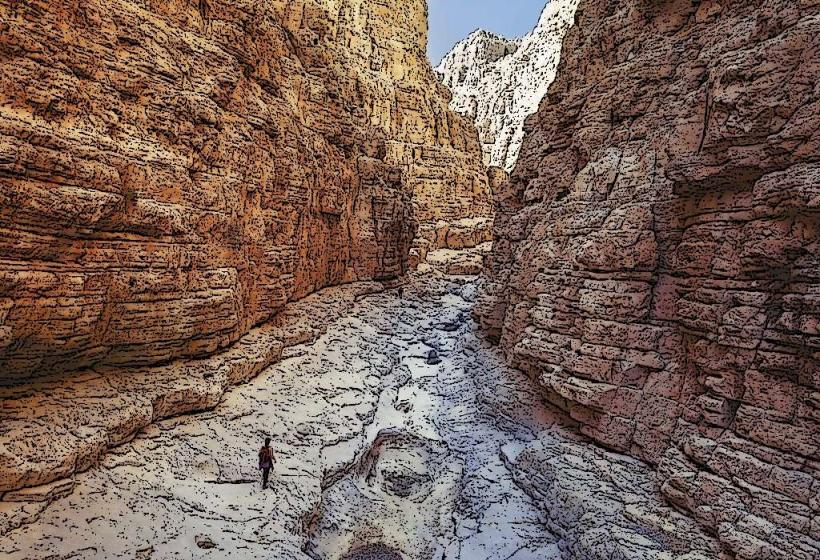
Wadi Shawka is a natural canyon and wadi system located in the Hajar Mountains, approximately 20 kilometers southeast of the city center of Ras Al Khaimah, United Arab Emirates.
Visual Characteristics
The wadi features steep, rocky walls composed of sedimentary rock, primarily limestone and dolomite, exhibiting varied strata. The canyon floor is a mixture of gravel, sand, and larger boulders. During wetter periods, ephemeral pools and small streams form. Vegetation is sparse, consisting mainly of drought-resistant shrubs and acacia trees clinging to the slopes.
Location & Access Logistics
Access is via the E44 highway (Al Dhaid Road) heading east from Ras Al Khaimah. Turn south onto the unpaved road signposted for Wadi Shawka. The final approach requires a 4x4 vehicle due to the rough terrain. Parking is available at the designated trailhead area, which can accommodate approximately 30 vehicles. No public transport services reach Wadi Shawka directly.
Historical & Ecological Origin
Wadi Shawka is a product of natural erosion over millennia, carved by intermittent flash floods within the Hajar Mountains geological formation. The area is classified as an arid mountain ecosystem, adapted to extreme temperature fluctuations and low rainfall.
Key Highlights & Activities
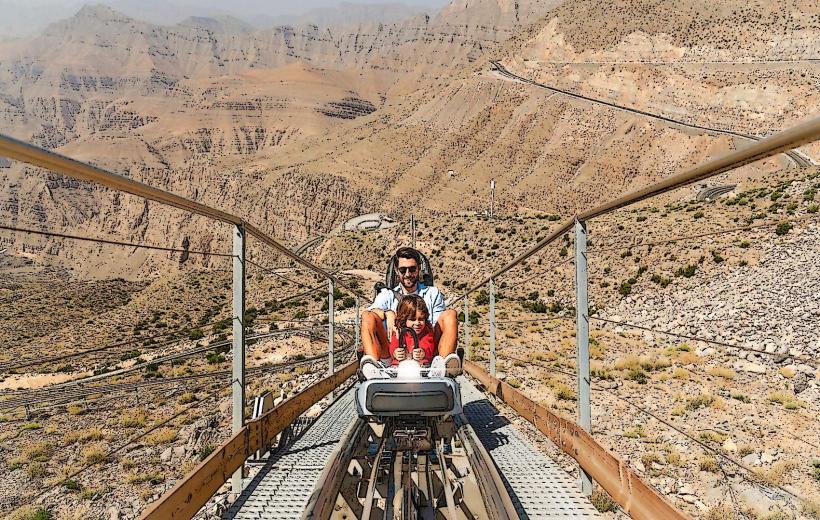
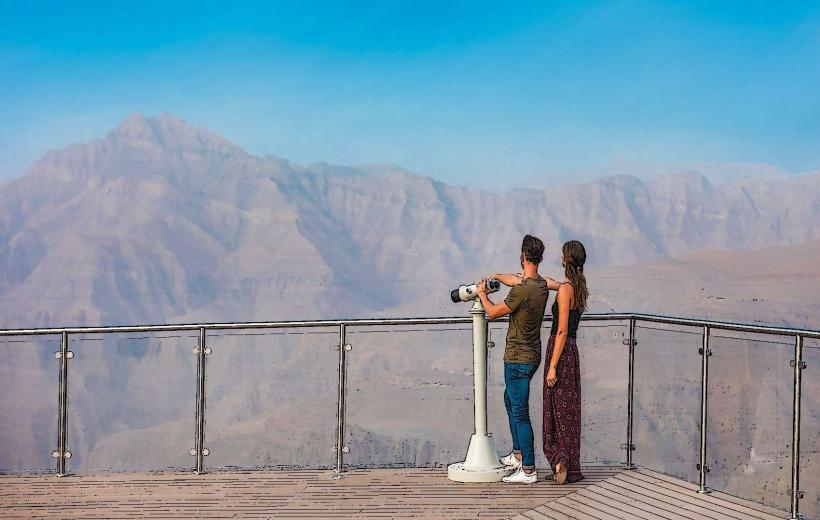
Hiking is the primary activity, with marked trails of varying difficulty. The main trail follows the wadi floor, while steeper paths ascend the canyon walls. Rock scrambling is possible in certain sections. Observing local flora and fauna, including birds of prey and desert reptiles, is also a focus.
Infrastructure & Amenities
Basic facilities at the trailhead include a small parking area and rudimentary signage. There are no restrooms, shade structures, or food vendors within Wadi Shawka itself. Cell phone signal (4G) is intermittent and generally weak within the canyon.
Best Time to Visit
The optimal time for visiting is during the cooler months, from October to April. Mornings between 7:00 AM and 10:00 AM offer the best light for photography and avoid the peak daytime heat. Flash flood potential is highest during the winter rainy season (December-February), requiring visitors to check weather forecasts before entering.
Facts & Legends
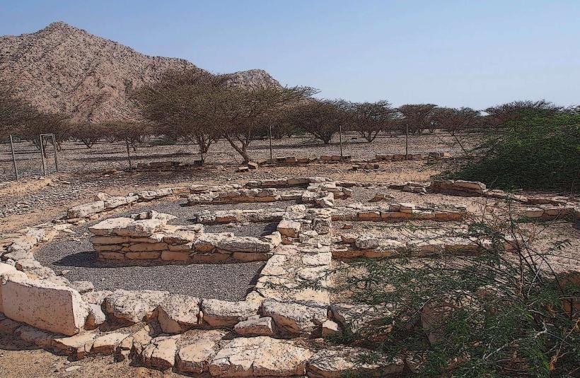
Local lore suggests that the wadi was historically used as a route for camel caravans traversing the mountains. A specific geological feature, a large, naturally formed archway visible from the main trail, is a point of interest for hikers.
Nearby Landmarks
- Jebel Jais (35km Northwest)
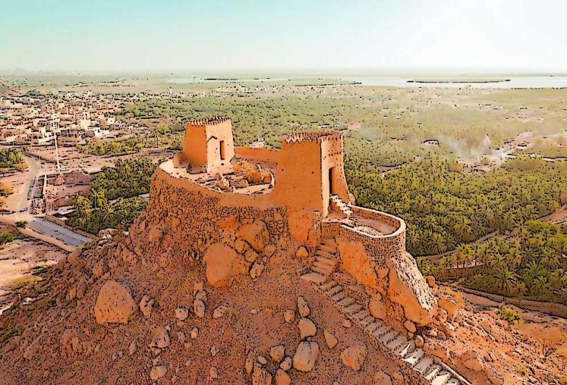
- Dhayah Fort (25km West)
- Hatta Heritage Village (70km Southeast)
- Khatt Springs (18km West)