Information
Landmark: Xochimilco CanalsCity: Mexico City
Country: Mexico
Continent: North America
Xochimilco Canals, Mexico City, Mexico, North America
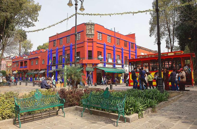
Xochimilco Canals is a network of ancient waterways located in the southern borough of Mexico City, Mexico.
Visual Characteristics
The canals are characterized by their muddy brown water, bordered by dense vegetation including willow trees and various aquatic plants. The primary mode of transport is the trajinera, a flat-bottomed boat painted in bright, varied colors. The canal system spans approximately 170 kilometers.
Location & Access Logistics
Xochimilco is accessible via the southern extension of the Mexico City Metro system, specifically the Xochimilco station on Line 2. From the city center (e.g., Zócalo), this journey takes approximately 45-60 minutes. Several embarcadero (docking) points exist, with the main ones being Nuevo Nativitas and La Aurora. Parking is available at these embarcaderos, though it can be limited during peak hours. Bus routes such as 142 and 162 also serve the area.
Historical & Ecological Origin
The canals are remnants of the pre-Hispanic chinampa agricultural system, developed by the Aztecs. Chinampas are artificial islands created by layering mud and vegetation, used for farming. The system was designed to manage water resources and facilitate transportation within the ancient city of Tenochtitlan.
Key Highlights & Activities
Boat tours on trajineras are the primary activity. Visitors can hire trajineras for hourly rentals, often accompanied by mariachi bands or food vendors. Exploring the floating gardens and observing local life along the canals are also key aspects. Fishing is permitted in designated areas.
Infrastructure & Amenities
Restrooms are available at the main embarcaderos. Shade is provided by the trajineras and the surrounding trees. Cell phone signal (4G/5G) is generally available. Food vendors are abundant on the trajineras and at the embarcaderos, offering local cuisine.
Best Time to Visit
The best time of day for photography is typically late morning or late afternoon when the sun's angle is lower, reducing harsh shadows. The driest months are generally November through April. High tide is not a relevant factor for canal navigation.
Facts & Legends
A local legend suggests that the canals are inhabited by spirits of ancient Aztec warriors. A verifiable historical oddity is that the chinampa system, still partially in use, is one of the oldest forms of sustainable agriculture in the world.
Nearby Landmarks
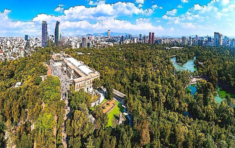
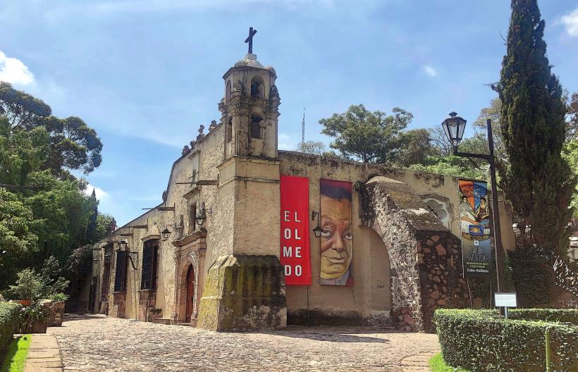
- Museo Dolores Olmedo - 1.2km West
- Parque Ecológico de Xochimilco - 2.5km Southwest
- Mercado de Flores y Plantas de Xochimilco - 0.8km North
- National Autonomous University of Mexico (UNAM) - 4.5km Northwest