Information
City: BamendaCountry: Cameroon
Continent: Africa
Bamenda, Cameroon, Africa
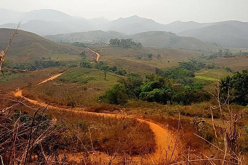
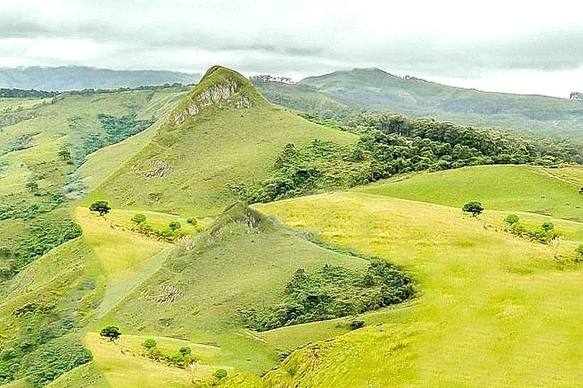
Bamenda serves as the capital of the North West Region of Cameroon and functions as the primary economic and cultural hub for the country’s Anglophone highlands. It is situated in the Western High Plateau, characterized by steep mountainous terrain and a valley floor approximately 1,600 meters above sea level.
Historical Timeline
The city evolved from a collection of traditional fondoms (kingdoms), primarily the Mankon and Bali, before becoming a military and administrative station under German colonial rule in 1902. Primary eras of governance include German Kamerun, the British Cameroons mandate/trusteeship, and the post-1961 period within the Republic of Cameroon. The most significant architectural and political reconstruction occurred during the 1980s as the city expanded as an opposition stronghold. The primary event shaping its current urban form is the ongoing "Anglophone Crisis" (2016–present), which has resulted in significant internal displacement and restricted urban development.
Demographics & Population
The total population within city limits is estimated at 550,000, though this fluctuates due to regional instability. The top three ethnic demographics are the Ngemba, Tikar, and Widikum. The median age is approximately 18.3 years.
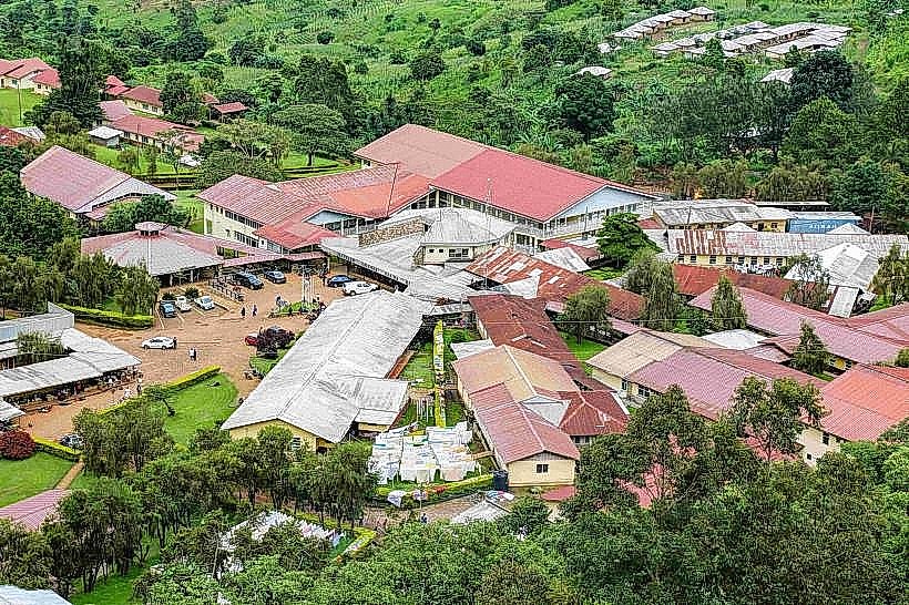
Urban Layout & Key Districts
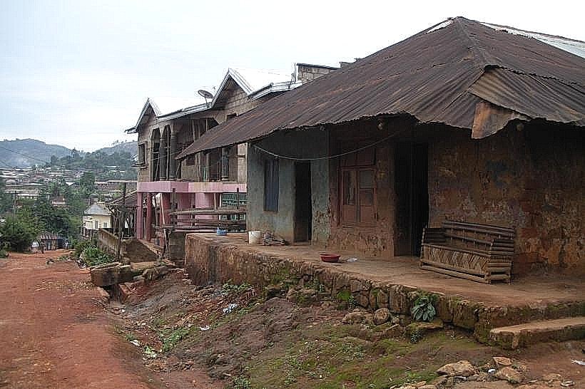
The city is divided into "Up Station" (the administrative plateau containing government offices) and "Down Town" (the commercial valley). Key districts include Mankon (commercial core), Bamendakwe (administrative center), and Nkwen (educational and residential hub). The city is physically defined by the Bamenda Escarpment, a steep cliff face separating the two main levels of the town.
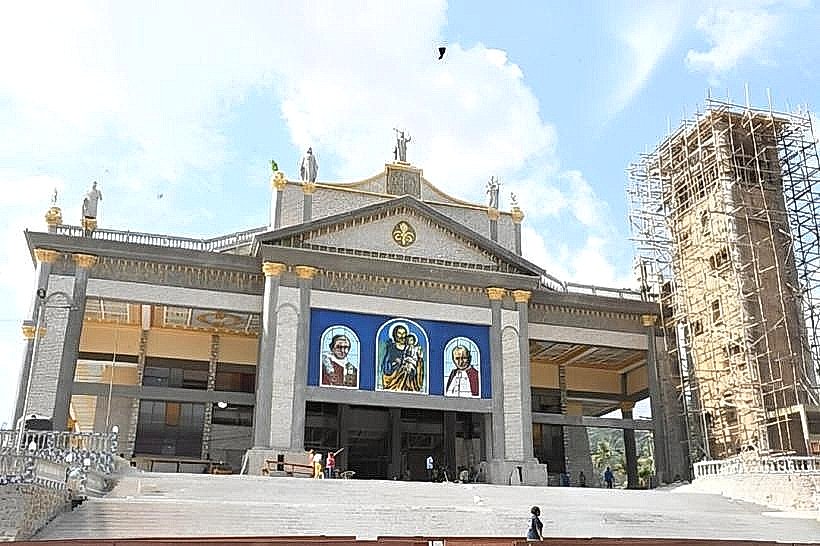
Top City Landmarks
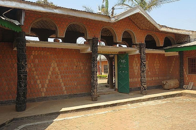
Mankon Fon’s Palace
Bamenda Fort (German-era colonial fort)
Up Station Escarpment Viewpoint
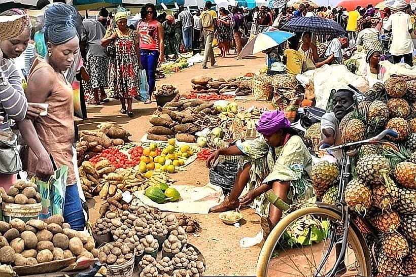
Bamenda Main Market
Cathedral of Saint Joseph
Transportation Network
Movement within the city relies on motorcycle taxis (Benskins) and yellow shared taxis. There is no metro or tram system. Regional transit is facilitated by bus agencies located along the Commercial Avenue. Traffic density is moderate but frequently interrupted by "Ghost Town" lockdowns or security checkpoints. Official taxis are yellow.
Safety & "Red Zones"
The general safety level is currently low due to active civil conflict. Avoid the peripheries and entrance/exit points of the city after 18:00. Explicitly avoid the Nkwen and Mile 2 areas during periods of announced civil protest. Common risks include improvised explosive devices (IEDs), carjackings, and localized skirmishes.
Digital & Financial Infrastructure
Average internet speed is 5-15 Mbps (3G/4G), with frequent government-mandated or conflict-related shutdowns. Main mobile carriers are MTN, Orange, and Camtel. Card acceptance is very low; the economy is almost entirely cash-based (XAF). ATMs are concentrated in the Up Station and Commercial Avenue areas.
Climate & Air Quality
Temperatures range from 15°C to 25°C. The city experiences a temperate highland climate with a heavy rainy season from May to October. Air quality is generally high due to elevation, but can be compromised by dust during the dry season (November–March).
Culture & Social Norms
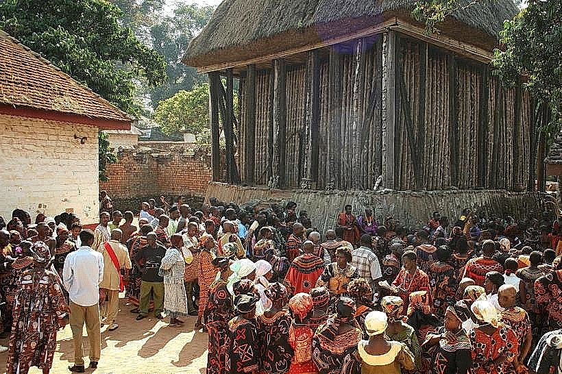
Tipping is not mandatory but 500 XAF is appreciated for service. Handshakes are the standard greeting; titles (Doctor, Chief, Pa/Ma) are strictly used to show respect. Dress code is conservative, often featuring traditional "Atoghu" (grassfields embroidery). Public behavior is heavily influenced by traditional councils and the Fon (King).
Accommodation Zones
Up Station: Recommended for higher security, proximity to administrative offices, and cooler temperatures.
Commercial Avenue: Recommended for logistical access to transport agencies and markets, though higher risk during civil unrest.
Local Cost Index
1 Espresso: 1,000 XAF ($1.65)
1 Standard Lunch: 3,500 XAF ($5.75)
1 Metro/Bus Ticket: 250 XAF ($0.41) - (Standard shared taxi fare)
Nearby Day Trips
Lake Awing (25 km)
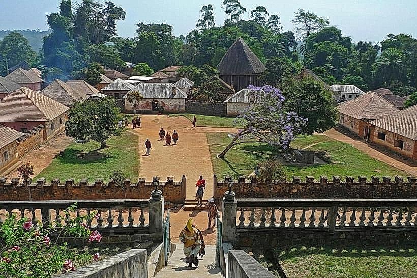
Bafut Fon's Palace (20 km)
Menchum Falls (70 km)
Bali Nyonga (20 km)
Facts & Legends
A verified historical oddity is the Bamenda Fort, built by Germans with volcanic stone; it has served as a prison, administrative office, and military barracks under three different colonial and national flags. Local legend surrounds the "Abumbi" (Fon of Bafut), who is said to possess the power to transform into a leopard to patrol the kingdom’s borders, a belief that reinforces the traditional authority of the grassfields royalty over modern administrative structures.