Information
City: BerlinCountry: Germany
Continent: Europe
Berlin, Germany, Europe
Berlin is the capital and largest city of Germany, located in the northeastern part of the country within the North German Plain. It is a federal state (Stadtstaat) and serves as a major global center for culture, politics, media, and science.
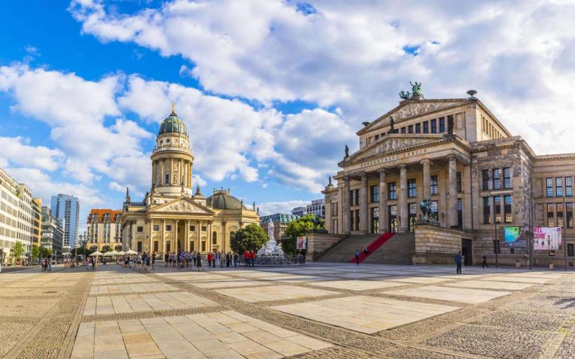
Visual Characteristics
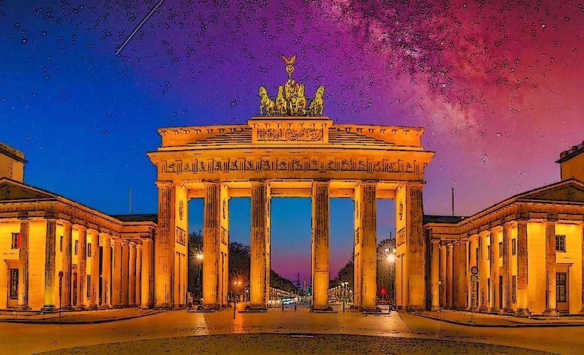
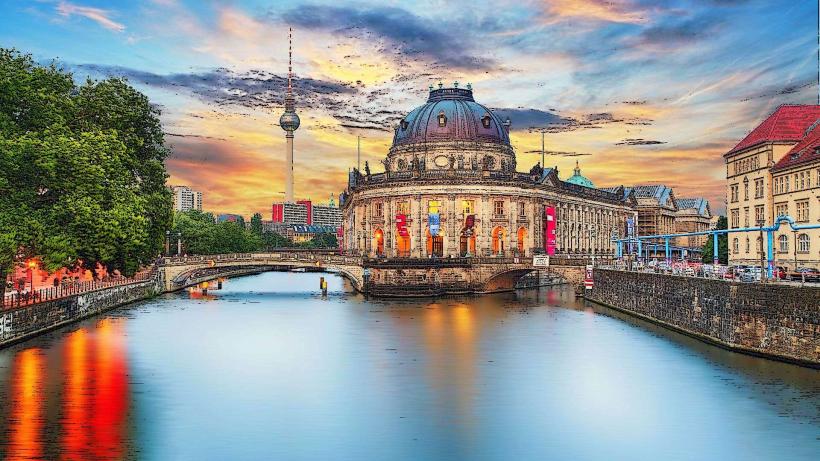
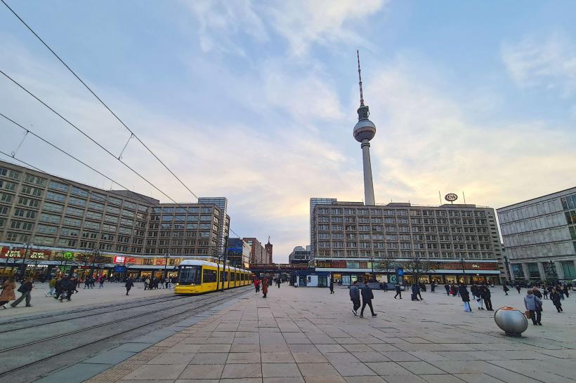
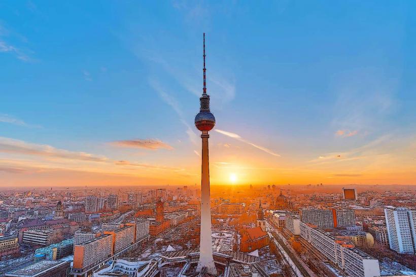
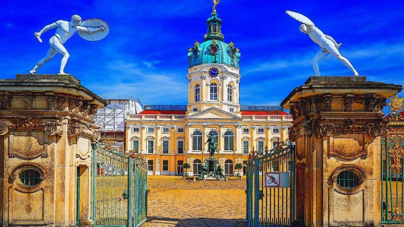
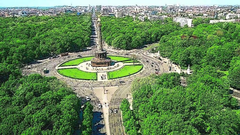
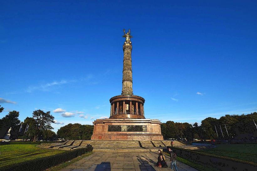
The urban landscape is characterized by a mix of historic Prussian neoclassicism, mid-20th-century Brutalism, and ultra-modern glass-and-steel architecture. The city lacks a single dense core, instead featuring decentralized hubs. Key visual markers include the 368-meter Berliner Fernsehturm (TV Tower), the Brandenburg Gate’s sandstone columns, and the sprawling Tiergarten park. The Spree River and its canals intersect the city, often lined with industrial brick warehouses or contemporary government buildings.
Location & Access Logistics
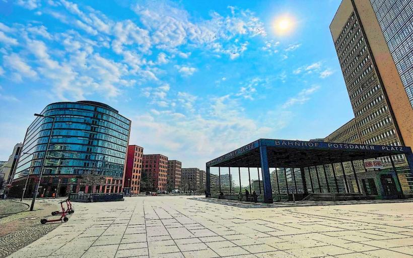
Berlin is situated approximately 70 kilometers west of the Polish border. It is served by Berlin Brandenburg Airport (BER), located 18 kilometers southeast of the city center. The Berlin Hauptbahnhof is the largest crossing station in Europe, providing high-speed ICE connections to Munich, Hamburg, and international destinations like Warsaw and Prague. The BVG transit network operates an integrated system of U-Bahn (subway), S-Bahn (suburban rail), trams, and buses. Vehicle access is managed via the A100 city motorway and an Inner City Environmental Zone requiring emissions stickers.
Historical & Ecological Origin
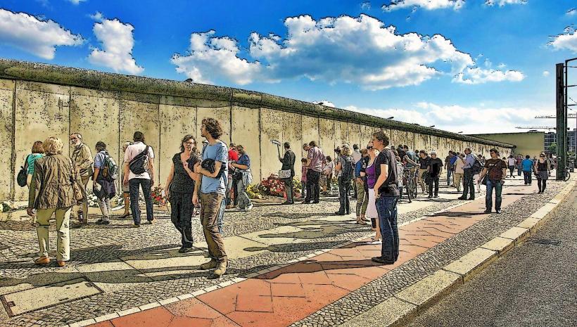
Originally two 13th-century merchant towns (Cölln and Berlin), the city became the capital of the Kingdom of Prussia and later the German Empire. It was the focal point of the Cold War, divided by the Berlin Wall from 1961 to 1989. Geologically, it sits in a glacial valley (Urstromtal) with sandy soil and a high water table, which necessitated the use of iconic pink and blue overground pipes for construction dewatering. One-third of the city’s area consists of forests, parks, gardens, and waterways.
Key Highlights & Activities
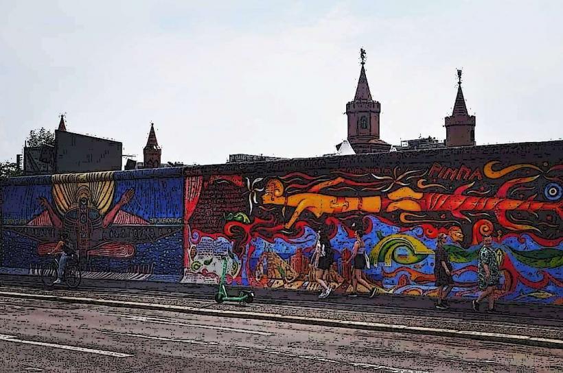
Visitors can access the Reichstag Building to view its glass dome and the surrounding government district. Museum Island, a UNESCO site, houses five major museums including the Pergamon and the Neues Museum. The East Side Gallery features a 1.3-kilometer stretch of the Berlin Wall covered in murals. Recreational activities are concentrated in the Tempelhofer Feld, a former airport converted into a massive public park, and the Mauerpark, known for its Sunday flea market.
Infrastructure & Amenities
The city is equipped with "City Toilets" (Wall AG) throughout the urban core, accessible via coin or app. 5G cellular coverage is comprehensive. The "Jelbi" app integrates various mobility services, including bike-sharing (Nextbike), e-scooters, and car-sharing. Public drinking fountains (Trinkbrunnen) are operated by Berliner Wasserbetriebe during summer months. Retail and services are concentrated in the Kurfürstendamm (west) and Alexanderplatz (east) districts.
Best Time to Visit
May through September offers the most favorable weather for outdoor activities, with temperatures ranging from 18°C to 25°C. December is a peak period for Christmas markets. Photography of the Brandenburg Gate is optimal at sunrise to avoid high pedestrian density. The city experiences a continental climate; winters are often overcast with temperatures frequently dropping below 0°C.
Facts & Legends
Berlin has more bridges than Venice, with approximately 1,700 spans crossing its waterways. A local historical oddity: the "Ampelmännchen" (traffic light man) is a beloved cultural icon originating from East Germany that was preserved after reunification. Legend holds that the "Berliner Weiße" beer was dubbed the "Champagne of the North" by Napoleon’s troops due to its effervescence and sour profile.
Nearby Landmarks
Brandenburg Gate: Central hub/Pariser Platz
Reichstag Building: 0.3km North of Brandenburg Gate
Museum Island: 1.5km East
Checkpoint Charlie: 1.2km South
Alexanderplatz/TV Tower: 2.2km East