Information
City: EagarCountry: USA Arizona
Continent: North America
Eagar, USA Arizona, North America
Eagar is an independent town in Apache County, situated in the Round Valley of the White Mountains in northeastern Arizona. It is an alpine community at an elevation of 2,130 m (7,000 ft), defined by its high-altitude agriculture, its proximity to the Apache-Sitgreaves National Forest, and its shared identity with the adjacent town of Springerville.
Historical Timeline
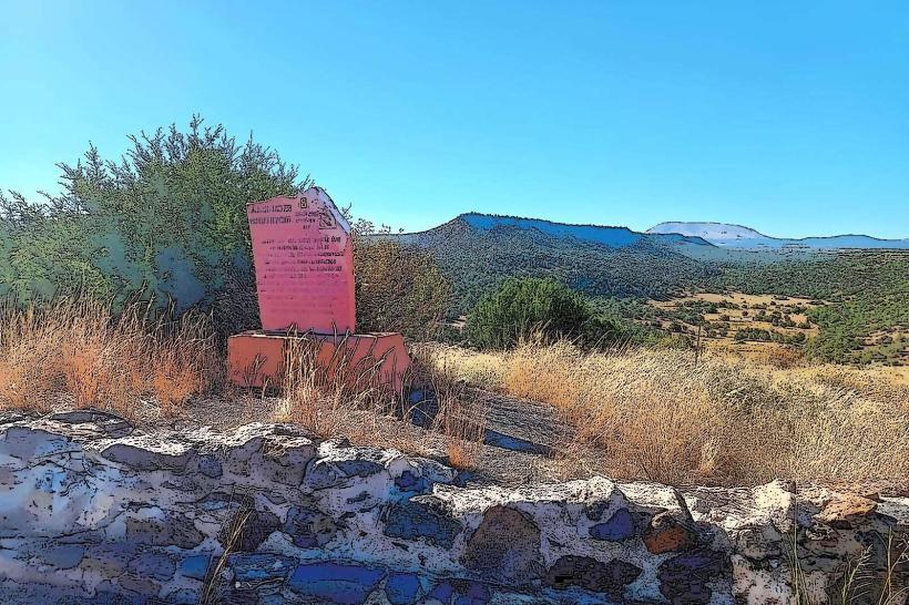
Inhabited by the Ancestral Puebloans, with significant archaeological sites like Casa Malpais nearby. Primary governance eras include its 1871 founding by Mormon pioneers and its 1888 naming after three brothers: John, Joel, and William Eagar. A critical historical event was the late 19th-century "Pleasant Valley War," a range conflict that impacted the local ranching community. The town was incorporated in 1948. In the 20th century, the economy shifted from purely agricultural to a mix of timber, ranching, and power generation with the establishment of the Coronado Generating Station.
Demographics & Population
The population is approximately 4,400. The demographics are White (82%), Hispanic or Latino (12%), and Native American (3%). It is a stable, rural community with a strong emphasis on pioneer heritage and outdoor recreation.
Urban Layout & Key Districts
Eagar and Springerville are often referred to as "Round Valley," functioning as a single metropolitan unit with no physical separation between the towns.
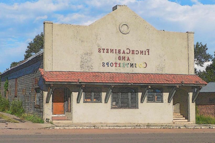
Main Street Corridor: Shared with Springerville, housing the primary local businesses and services.
The High Schools District: Home to the Round Valley Ensphere, the world's only high school domed stadium.
Butler Canyon: A residential area providing direct access to forest trails and higher elevations.
Top City Landmarks
Round Valley Ensphere: A massive domed stadium used for high school sports and regional events; a unique architectural feat for a town of this size.
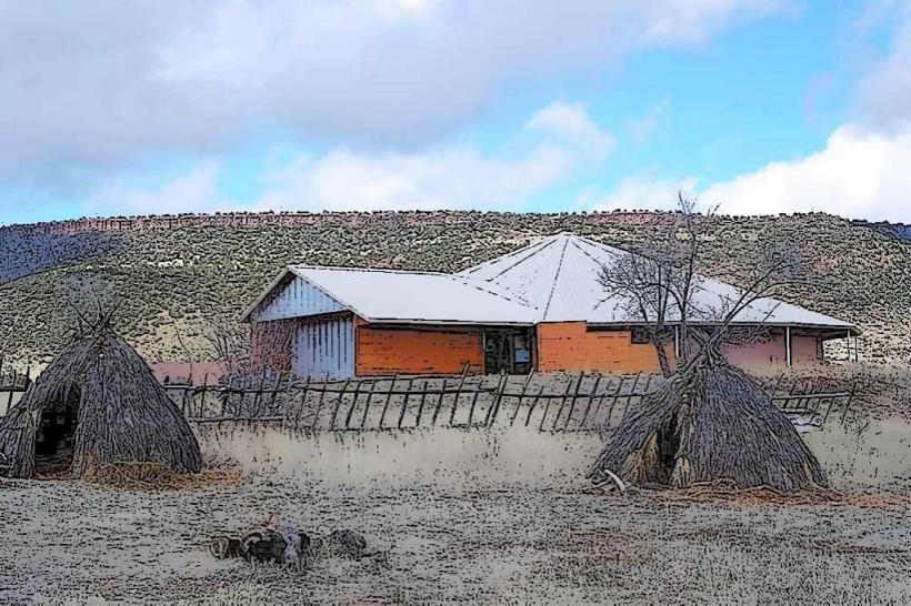
Casa Malpais Archaeological Park: Located on the border with Springerville, featuring a Great Kiva and prehistoric ruins built on a lava flow.
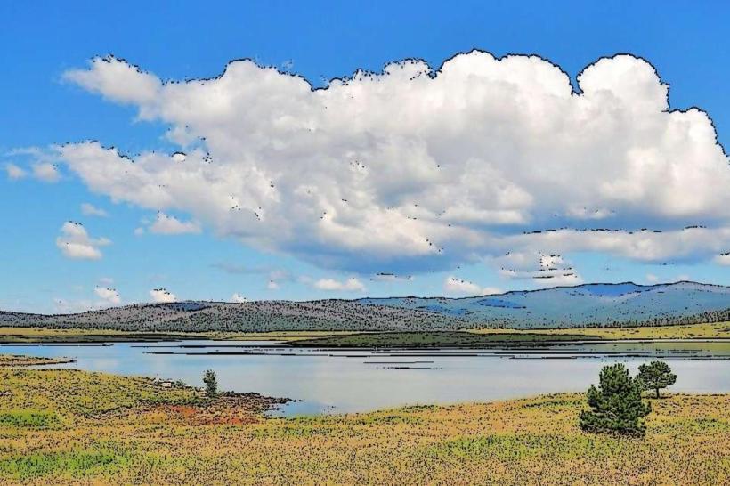
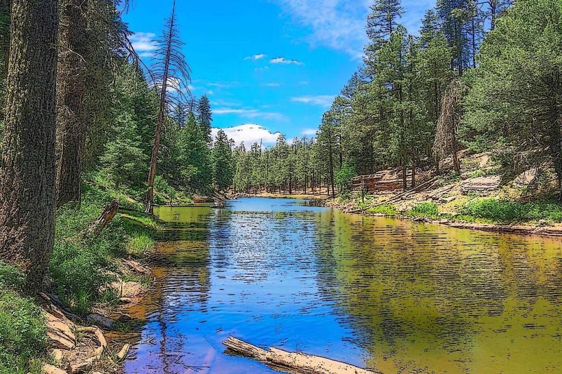
Apache-Sitgreaves National Forest: Surrounding the town, offering immediate access to elk hunting, fishing, and hiking.
Sipe White Mountain Wildlife Area: Located 11 km southeast; a prime location for viewing elk and high-country birds.
Ramsey Park: The primary local park and hub for community events like the July 4th celebration.
Transportation Network
Movement is serviced by private vehicle; there is no local public transit. The town is situated on SR-260 and is near the junction of US-60 and US-191 (The Coronado Trail). Commercial air service is via Show Low Regional Airport (SOW), 75 km west, or Phoenix (PHX), 360 km west. Ride-sharing is non-existent. Traffic is light, though heavy equipment and log trucks are common on regional highways.
Safety & "Red Zones"
The general safety level is very high. Crime rates are significantly lower than the Arizona average. Petty theft and seasonal "cabin prowls" are the primary concerns. There are no designated "red zones." Environmental hazards include extreme winter cold, heavy snowfall, and seasonal wildfire risks. Caution is advised on US-191 (Coronado Trail) due to its status as one of the most winding and dangerous roads in the U.S.
Digital & Financial Infrastructure
Internet speeds average 200 Mbps with service via Sparklight and Frontier. Main mobile carriers are Verizon and AT&T; coverage is reliable in town but disappears quickly in the forest. Card acceptance is universal in established businesses. ATMs are located at local banks along the main corridors.
Climate & Air Quality
Temperatures range from -12°C to 7°C in winter and 10°C to 28°C in summer. Characterized by a high-alpine climate with short growing seasons and intense summer monsoons. Air quality is exceptionally high, though impacted by winter wood-burning smoke and regional forest fires.
Culture & Social Norms
The standard tipping percentage is 18–25%. A handshake is the standard greeting. Dress codes are "Mountain-Pragmatic" (workwear and camouflage are standard attire). The town is culturally defined by its Mormon pioneer roots, its "Round Valley" local pride, and its identity as a premier base for big-game hunting.
Accommodation Zones
Main St / US-60: Recommended for local motels and proximity to Springerville dining.
Forest Periphery: Recommended for cabin rentals and hunting lodges.
Local Cost Index
1 Espresso: $4.25 (USD)
1 Standard Lunch: $15.00 (USD)
1 Gallon of Propane: $2.50–$3.50 (Variable).
Nearby Day Trips
Sunrise Park Resort (Skiing): (40 km west).
Big Lake Recreation Area: (45 km south).
Escudilla Mountain: (20 km south).
Facts & Legends
Eagar is home to the first high school domed stadium in the United States. Historically, the area was a hideout for outlaws like the Clanton Gang due to its remote location. A local legend involves the "Spirit of the Lava Flows," rumored spectral sightings among the jagged rocks of Casa Malpais. Another legend concerns "The Lost Mormon Gold," rumored caches hidden during the late 19th-century federal crackdowns on polygamy.