Information
Landmark: Apache-Sitgreaves National ForestCity: Eagar
Country: USA Arizona
Continent: North America
Apache-Sitgreaves National Forest, Eagar, USA Arizona, North America
Apache-Sitgreaves National Forest – Detailed Overview
Location and General Description
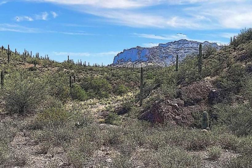
The Apache-Sitgreaves National Forests are two adjacent national forests located in eastern Arizona and western New Mexico, managed as a combined unit by the U.S. Forest Service. Covering roughly 2.76 million acres, this vast forested region offers diverse landscapes ranging from high-elevation alpine environments to rolling grasslands and deep canyons. The forests are named after the Apache people and the Sitgreaves Expedition, reflecting the rich cultural and exploration history of the area.
The forests stretch across portions of Apache, Navajo, Greenlee, and Navajo counties in Arizona, as well as parts of western New Mexico, encompassing mountain ranges such as the White Mountains, the Mogollon Rim, and portions of the Colorado Plateau.
Ecology and Landscape
Elevation and Terrain:
The forests span elevations from approximately 5,000 feet (1,524 meters) to over 11,000 feet (3,353 meters), featuring mountains, plateaus, deep river valleys, and rugged canyons. This elevation gradient creates varied climate zones and diverse ecosystems.
Vegetation:
Dominated by vast expanses of ponderosa pine forests, mixed conifers including Douglas fir, spruce, and fir, as well as aspen groves and piñon-juniper woodlands. The higher elevations boast subalpine forests with spruce and fir, while lower areas transition to grasslands and shrublands.
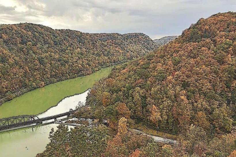
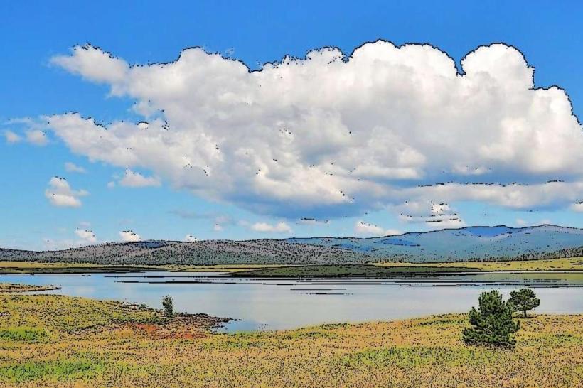
Water Resources:
Numerous lakes, streams, and rivers flow through the forests, including the headwaters of the Little Colorado River and the Black River. The area contains several reservoirs and lakes popular for recreation, such as Big Lake, Fool Hollow Lake, and Black River Reservoir.
Recreation and Activities
The Apache-Sitgreaves National Forests offer a broad range of recreational opportunities year-round:
Hiking and Backpacking:
Hundreds of miles of trails traverse the forests, including parts of the Arizona Trail. Trails range from easy nature walks to challenging backcountry routes. Popular hiking areas include the White Mountains and the Mogollon Rim.
Camping:
Numerous campgrounds and dispersed camping sites are available, from developed facilities with amenities to primitive backcountry spots.
Fishing and Boating:
Lakes and rivers provide excellent fishing for trout, bass, catfish, and other species. Boating and kayaking are popular on larger reservoirs.
Wildlife Viewing:
The forests are home to diverse wildlife including elk, mule deer, black bear, mountain lion, bald eagles, and various songbirds. Seasonal migrations and calving make for spectacular wildlife watching.
Hunting:
Managed hunting seasons attract hunters targeting elk, deer, turkey, and small game, subject to state regulations and permits.
Winter Sports:
In the winter, areas within the forests support snowmobiling, cross-country skiing, snowshoeing, and ice fishing. The nearby Sunrise Ski Resort offers downhill skiing on the slopes of Mount Baldy.
Scenic Drives:
Several scenic byways pass through the forests, such as the White Mountain Scenic Road, Midland Trail (US 60), and the Coronado Trail (US 191), offering panoramic views and access to trailheads.
Important Locations and Features
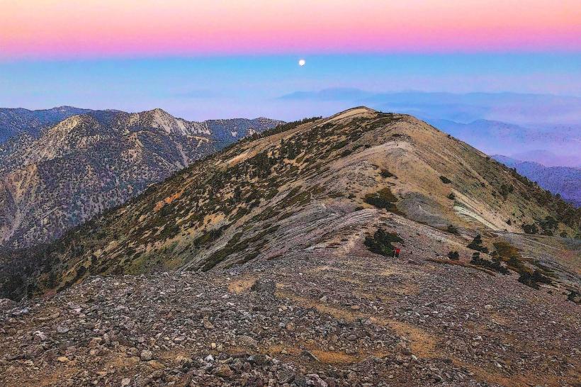
White Mountains:
A major mountain range within the forests, featuring rugged peaks, alpine meadows, and extensive trail networks.
Mount Baldy:
At 11,400 feet, it is one of Arizona’s highest peaks and a popular destination for hikers and skiers.
Black River:
Known for pristine waters and trout fishing, the river flows through scenic canyons and forested landscapes.
Fool Hollow Lake and Big Lake:
Popular reservoirs offering fishing, boating, and camping.
Greer:
A small mountain town surrounded by the forest, serving as a gateway for visitors.
Conservation and Management
The Apache-Sitgreaves National Forests are managed to balance recreation, resource extraction, conservation, and cultural heritage. Efforts focus on:
Sustainable Forestry: Responsible timber harvesting and forest health management.
Fire Management: Both controlled burns and wildfire suppression to maintain ecosystem health and protect communities.
Watershed Protection: Maintaining clean water sources vital to downstream communities and ecosystems.
Wildlife Habitat Preservation: Ensuring habitat for threatened and endangered species.
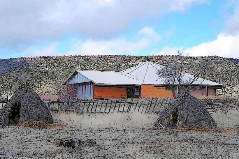
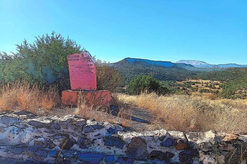
Cultural Resources: Protecting archaeological sites and historic landmarks significant to Native American tribes and early settlers.
Visitor Services and Facilities
Ranger District Offices: Located in towns such as Springerville, Pinetop-Lakeside, Alpine, and Alpine, providing permits, maps, and information.
Campgrounds and Picnic Areas: Developed facilities with amenities such as restrooms, picnic tables, and fire rings.
Trailheads and Visitor Centers: Offer trail information, educational exhibits, and ranger-led programs.
Accessibility: Many sites and trails have accessible facilities for visitors with disabilities.
Climate
Due to the elevation range, the forests experience a wide variety of climates:
Summers are generally mild and pleasant, with daytime temperatures ranging from the 70s to mid-80s Fahrenheit (20–30°C), cooler at higher elevations.
Winters can bring heavy snowfall and cold temperatures, especially in higher elevations, often closing some roads and facilities.
Summary
The Apache-Sitgreaves National Forests represent a vast and ecologically rich area of mountainous terrain in eastern Arizona and western New Mexico. They provide a diverse playground for outdoor recreation amid ponderosa pine forests, alpine meadows, sparkling lakes, and winding rivers. Managed with a focus on sustainability and conservation, these forests are a crucial natural resource supporting wildlife, watershed health, and cultural heritage, while offering visitors opportunities to connect deeply with the natural beauty and outdoor traditions of the American Southwest.