Information
City: EbolowaCountry: Cameroon
Continent: Africa
Ebolowa, Cameroon, Africa
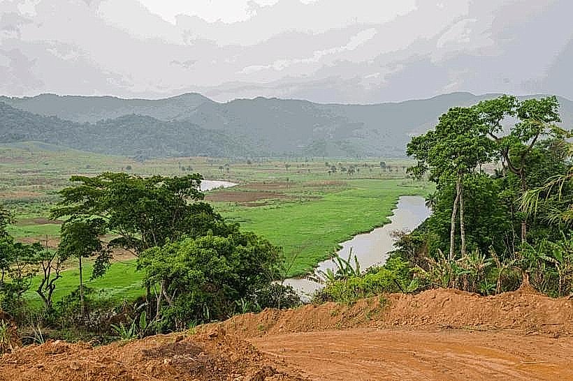
Ebolowa serves as the administrative capital of the South Region of Cameroon and functions as a primary logistics hub for the country’s timber and cocoa trade with neighboring Gabon and Equatorial Guinea. It is situated in the heart of the equatorial rainforest, positioned on a plateau approximately 600 meters above sea level.
Historical Timeline
The city was established as an administrative and missionary post during the German colonial period in the late 19th century. Primary eras of governance include German Kamerun, the French mandate/trusteeship, and the post-independence era since 1960. The most significant urban and architectural expansion occurred in 2011 following the National Agro-Pastoral Show, which triggered massive infrastructure investment. The primary event shaping its current urban form was the mid-20th-century development of the regional road network, positioning the city as a strategic gateway for the Central African Economic and Monetary Community (CEMAC) corridor.
Demographics & Population
The total population within city limits is approximately 130,000 residents. The dominant ethnic demographic is the Bulu (a subgroup of the Beti-Pahuin). The median age of the population is approximately 18.8 years.
Urban Layout & Key Districts
The city is organized around a central administrative core and several major road junctions. Key districts include the Center-Ville (Commercial hub) and the Nko'ovos district (Educational and administrative center). The city's geography is defined by undulating hills and dense forest periphery, with the main axes leading toward Yaoundé to the north and the border towns of Ambam and Kyé-Ossi to the south.
Top City Landmarks
Ebolowa Municipal Lake
Cathedral of Saints Anne and Joachim
The Regional Hospital of Ebolowa (Modern Architectural Site)
The Nko'ovos Market
The South Regional Governor's Residence
Transportation Network
Movement within the city relies on motorcycle taxis (Benskins) and yellow shared taxis. There is no metro or rail system. Official taxis are yellow. Traffic density is moderate, with occasional congestion near the central market and bus terminals. Long-distance transit is managed by private bus agencies located primarily at the northern and southern entrances of the city.
Safety & "Red Zones"
The general safety level is moderate. Petty theft is common in high-density areas such as the Nko'ovos market. There are no specific "red zones," but walking in unlit peripheral forest-bordering neighborhoods after 21:00 is discouraged. Common risks include "highway bandits" on the inter-city roads leading toward the borders during late-night hours.
Digital & Financial Infrastructure
Average internet speed is 10-20 Mbps (4G). Main mobile carriers are MTN, Orange, and Nexttel. Card acceptance is extremely low; the economy is cash-based (XAF). ATMs are available at bank branches (Afriland, BICEC, Société Générale) located in the city center.
Climate & Air Quality
Temperatures range from 22°C to 28°C year-round. The city experiences a humid equatorial climate with two distinct rainy seasons (March–June and September–November). Air quality is generally high due to the surrounding rainforest, though humidity levels often exceed 85%.
Culture & Social Norms
Tipping is not mandatory; 500 XAF is appreciated in restaurants. Handshakes are the standard greeting; formal address is expected when interacting with elders or government officials. Dress code is generally conservative. Public behavior is heavily influenced by the cultural traditions of the Beti people, particularly regarding forest-related social rituals.
Accommodation Zones
Center Ville / Quartier Administratif: Recommended for security and proximity to banks and government offices.
Lake Area (Quartier du Lac): Recommended for quieter surroundings and proximity to recreational sites.
Local Cost Index
1 Espresso: 1,200 XAF ($1.96)
1 Standard Lunch: 4,000 XAF ($6.50)
1 Metro/Bus Ticket: 250 XAF ($0.41) - (Standard shared taxi fare)
Nearby Day Trips
Kyé-Ossi Border Market (120 km)
Nkolandom Tourist Site (20 km)
Mvila River Falls (15 km)
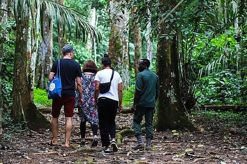
Mengame Gorilla Sanctuary (130 km)
Facts & Legends
A verified historical oddity is that Ebolowa was once the center of a massive German cocoa plantation experiment that fundamentally changed the region's ecology and economy. Local legend speaks of the "Spirits of the Municipal Lake"; it is believed by some that the lake was formed over a sacred site and that the waters contain a protective energy that ensures the stability of the town’s political leaders, provided they respect the traditional customs of the land.