Information
City: EmporiaCountry: USA Kansas
Continent: North America
Emporia, USA Kansas, North America
Emporia serves as the administrative seat of Lyon County and is the primary educational and commercial center for the eastern Flint Hills region. It is situated on the upland between the Neosho and Cottonwood Rivers, approximately 140 km southwest of Kansas City.
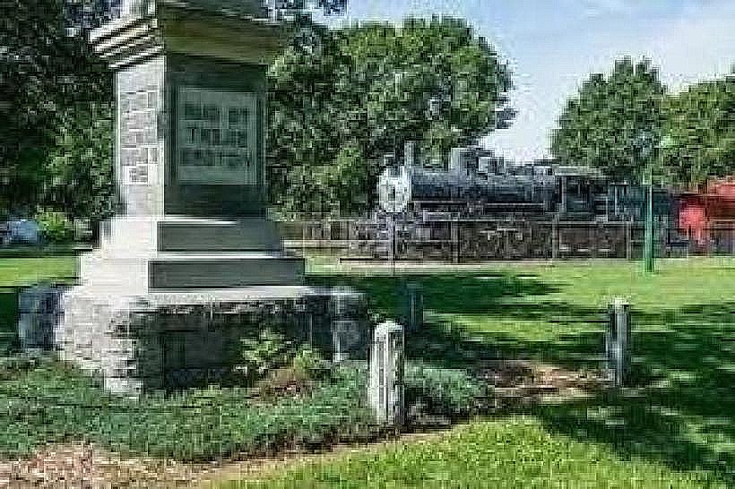
Historical Timeline
Founded in 1857 by the Emporia Town Company, the city was named after the ancient Carthaginian market centers to reflect its intended role as a commercial hub. It was incorporated in 1870 following the arrival of the Missouri-Kansas-Texas Railroad. The primary event shaping the modern urban form was the 1953 tornado, which necessitated the reconstruction of the northwest sector of the city. The city’s identity was further solidified by the 1903 establishment of the first Veterans Day (originally Armistice Day) celebration in the United States, initiated by local resident Alvin J. King.
Demographics & Population
The 2026 estimated population within city limits is 24,057. The primary ethnic demographics are White (55.4%), Hispanic or Latino (35.2%), and Black or African American (2.3%). The median age is 29.1 years, largely influenced by the student population of Emporia State University.
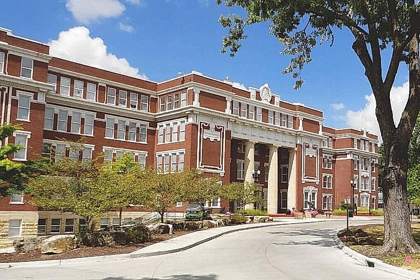
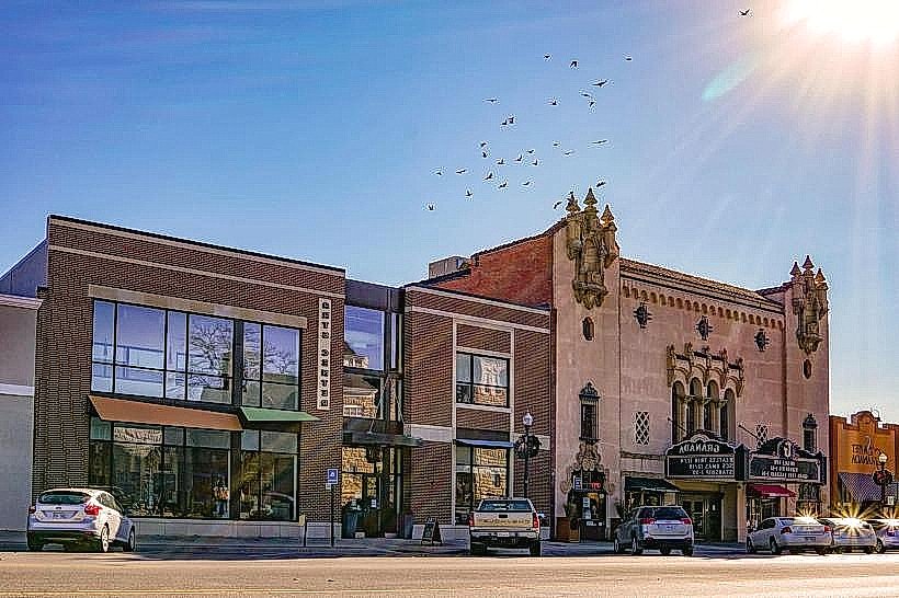
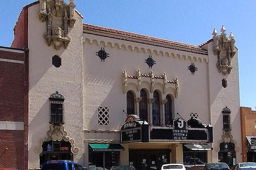
Urban Layout & Key Districts
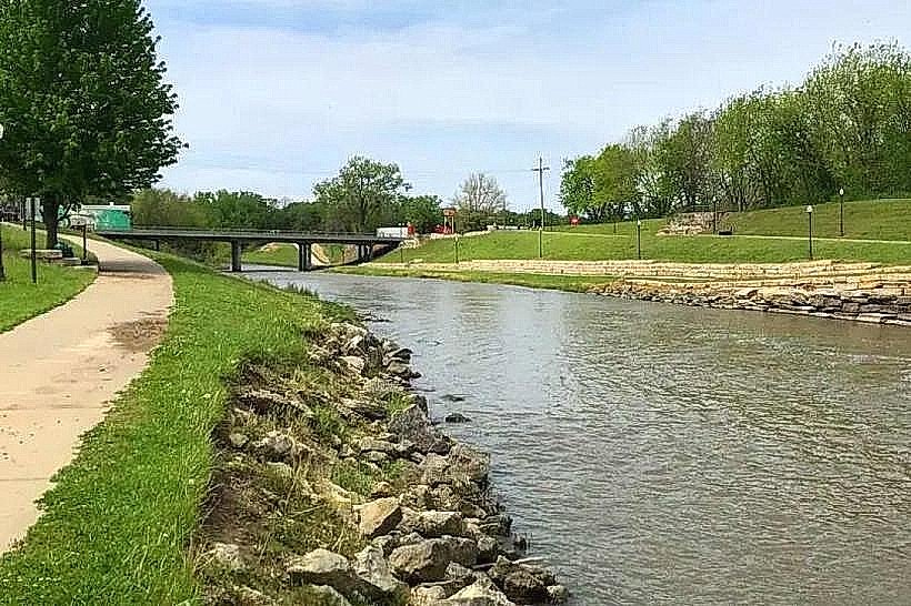
The city is organized on a grid system bisected by Commercial Street (North-South) and 6th Avenue (East-West). The Downtown Historic District (Central) contains the commercial core and historic theaters; the University District (North) houses Emporia State University; and the Industrial Sector (West/Southwest) contains major manufacturing and distribution facilities. The Cottonwood River defines the southern boundary.
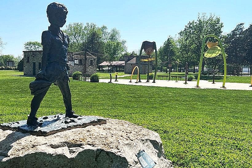
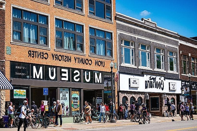
Top City Landmarks
William Allen White State Historic Site
David Traylor Zoo
Lyon County History Center
Emporia State University Memorial Union
Transportation Network
Internal movement is facilitated by the Lyon County Area Transportation (LCAT), which operates fixed-route and demand-response bus services. Ride-sharing via Uber is available but limited during off-peak hours. Taxis are operated by private dispatch and are generally unmarked. Traffic density is low, with localized congestion occurring during "Unbound Gravel," the world's premier gravel cycling race held annually in June.
Safety & "Red Zones"
The general safety level is high. Property crime, specifically bicycle theft and vehicle burglaries, is the primary statistical concern. There are no designated "red zones," though visitors should exercise standard caution in the older residential neighborhoods immediately south of the 6th Avenue corridor at night.
Digital & Financial Infrastructure
Average internet speeds reach up to 1 Gbps via ValuNet Fiber or Sparklight. Main mobile carriers include AT&T, Verizon, and T-Mobile. Card acceptance is high in the downtown and university areas. ATMs are concentrated along Commercial Street and inside the Flinthills Mall.
Climate & Air Quality
Summers (June–August) are hot and humid, with temperatures between 20°C and 34°C. Winters (December–February) are cold and dry, ranging from -6°C to 6°C. The region is subject to significant tornado risks in spring. Air quality is generally "Good," but seasonal prairie burning in the surrounding Flint Hills causes heavy smoke and haze during March and April.
Culture & Social Norms
Tipping of 18–20% is standard in restaurants. Social greetings are informal and characterized by "Midwestern nice." Dress code is casual, with a high prevalence of outdoor and cycling-related apparel. Smoking is prohibited in all public indoor spaces. Alcohol is sold in liquor stores and grocery stores; Sunday sales begin at 12:00 PM.
Accommodation Zones
West Highway 50/I-35 Corridor: Stay here for modern hotel chains and proximity to the interstate.
Downtown/Commercial Street: Stay here for walking access to historic sites, local dining, and the Granada Theatre.
Local Cost Index
Espresso: $4.25 (¥640)
Standard Lunch: $13.50 (¥2,025)
LCAT Bus Ticket: $1.00 (Standard)
Nearby Day Trips
Tallgrass Prairie National Preserve: 30 km (25 mins)
Cottonwood Falls (Historic Courthouse): 32 km (25 mins)
Council Grove (Santa Fe Trail Sites): 60 km (45 mins)
Eisenhower Presidential Library (Abilene): 135 km (1.2 hours)
Facts & Legends
Emporia is the "Gravel Cycling Capital of the World," hosting thousands of international athletes annually for races on the jagged flint rock roads surrounding the city. A local historical oddity involves William Allen White, the Pulitzer Prize-winning editor of the Emporia Gazette, who became so influential that he was known as the "Sage of Emporia." It is a local legend that no U.S. President during his lifetime would dare pass through Kansas without stopping to consult him at his Red Rocks estate.