Information
City: Manhattan KSCountry: USA Kansas
Continent: North America
Manhattan KS, USA Kansas, North America
Manhattan is the regional hub for the Flint Hills of Kansas and serves as the seat of Riley County. It is located at the confluence of the Kansas and Big Blue Rivers, approximately 190 km west of Kansas City.
Historical Timeline
Founded in 1855 by the New England Emigrant Aid Company, the city was originally named Boston but was renamed after a group of investors from Cincinnati joined the settlement. Manhattan transitioned into a major educational center with the founding of Bluemont Central College in 1858, which became Kansas State University in 1863. The urban form was significantly altered by the Great Flood of 1951, which led to modern levee construction and the subsequent commercial development of the downtown area.
Demographics & Population
The city population is approximately 54,700, with a metropolitan area reaching 120,000. Ethnic demographics are White (78.8%), Hispanic (8.3%), Black (4.5%), and Asian (4.3%). The median age is exceptionally low at 25.2 years, reflective of the large university student body.
Urban Layout & Key Districts
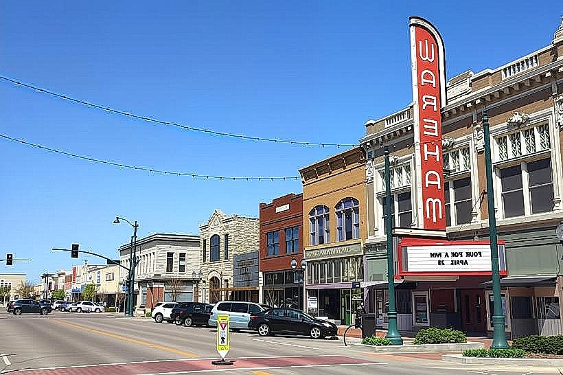
The city is structured on a grid south of the Kansas State University Campus. The primary districts are Aggieville (South of Campus), a high-density entertainment and retail zone; Downtown (Poyntz Avenue), the historic commercial core; and West Manhattan, comprising newer residential developments. The Big Blue River defines the city's eastern boundary.
Top City Landmarks
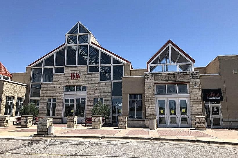
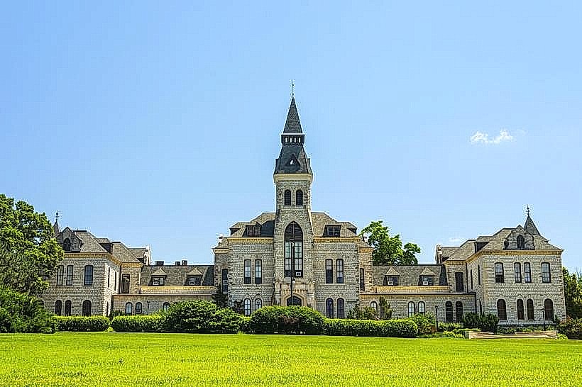
Anderson Hall (K-State)
Bill Snyder Family Stadium
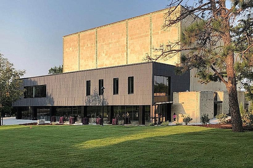
Marianna Kistler Beach Museum of Art
Transportation Network
Public transit is provided by the ATA Bus system, which operates fixed routes and demand-response shuttles. Ride-sharing is dominated by Uber and Lyft, with high availability during university terms. Official taxis are operated by private companies like Bell Taxi, identified by white liveries. Traffic density is moderate but surges significantly during K-State football home games.
Safety & "Red Zones"
The city is generally very safe for residents and visitors. Aggieville can become volatile during late-night hours on weekends due to high alcohol consumption. There are no specific "red zone" neighborhoods, though standard vigilance is advised near the commercial corridors of 3rd and 4th Streets at night.
Digital & Financial Infrastructure
Average internet speeds reach 1 Gbps, with AT&T Fiber offering up to 5 Gbps in select zones. Primary mobile carriers are Verizon, AT&T, and T-Mobile. Card acceptance is nearly 100% across all commercial sectors. ATMs are densely located within the Aggieville and Downtown districts.
Climate & Air Quality
Summers (June–August) are hot and humid with peaks of 33°C to 38°C. Winters (December–February) are cold and windy, ranging from -8°C to 6°C. The city is located in a high-risk tornado zone, with peak activity in May. Air quality is consistently good, though seasonal prairie burning in the Flint Hills causes temporary haze in April.
Culture & Social Norms
Tipping is expected at 18–20% in restaurants. The "K-State Purple" color scheme is the unofficial dress code for public events. Social greetings are informal and friendly. Smoking is banned in all public indoor spaces, and alcohol consumption is strictly regulated to licensed venues, though Aggieville features a high density of open-patio bars.
Accommodation Zones
Aggieville/Mid-Campus: Stay here for walking access to the university and the primary nightlife district.
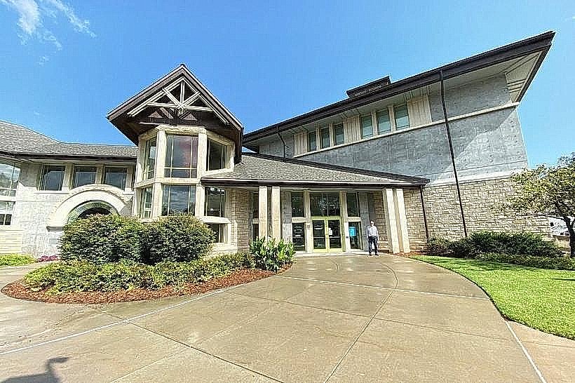
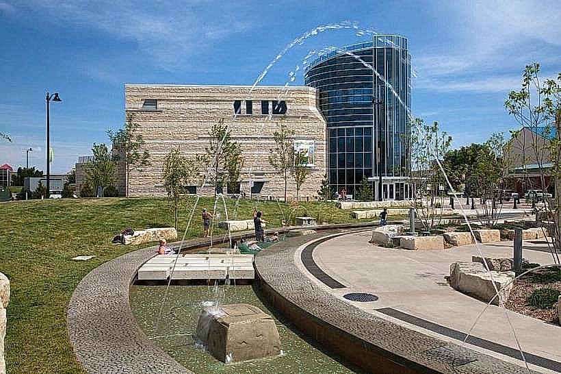
Downtown (Poyntz): Stay here for proximity to the Discovery Center, boutique shopping, and historic hotels.
Local Cost Index
Espresso: $4.25 (¥640)
Standard Lunch: $14.00 (¥2,100)
Metro/Bus Ticket: $1.00 (¥150)
Nearby Day Trips
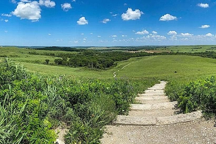
Konza Prairie Biological Station: 13 km (15 mins)
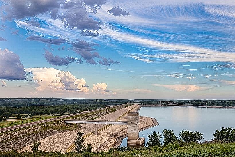
Tuttle Creek State Park: 8 km (10 mins)
Fort Riley: 20 km (20 mins)
Wamego (Oz Museum): 24 km (25 mins)
Abilene (Eisenhower Presidential Library): 70 km (45 mins)
Facts & Legends
Manhattan is colloquially known as "The Little Apple," a nickname adopted in 1977 as a play on New York City's moniker. A local historical oddity involves the "Beecher Bibles"-rifles shipped to early abolitionist settlers in crates marked as Bibles to bypass legal restrictions, many of which were used to defend the city during the pre-Civil War "Bleeding Kansas" conflicts.