Information
City: MarouaCountry: Cameroon
Continent: Africa
Maroua, Cameroon, Africa
Maroua serves as the capital of the Far North Region of Cameroon and functions as the primary administrative and commercial hub for the Lake Chad basin area. It is situated along the banks of the Ferngo and Kaliao seasonal rivers, positioned in the Sahelian savanna zone.
Historical Timeline
The city was established as a traditional settlement of the Fulbe people and rose to prominence as part of the Adamawa Emirate in the 19th century. Primary eras of governance include the pre-colonial Fulbe period, the German colonial period (1902–1916), the French mandate, and the post-independence era. The most significant urban development occurred in the 1970s following the creation of the University of Maroua and the regional administrative expansion. The primary event shaping its current urban form is its role as a strategic military outpost for the multinational joint task force against regional insurgencies.
Demographics & Population
The total population is approximately 450,000 residents. The top three ethnic demographics are the Fulbe (Peul), Giziga, and Kanuri. The median age is 17.6 years.
Urban Layout & Key Districts
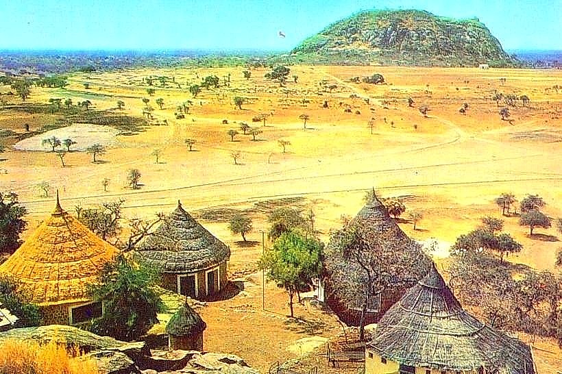
The city is organized into a sprawling, low-density grid divided by seasonal riverbeds (mayos). Key districts include the Center-Ville (Grand Marché area) and the Plateau (Administrative and residential zone) located to the north. The city is bounded by the Maroua hills (Zibi) to the northwest and the Kaliao riverbed to the south.
Top City Landmarks
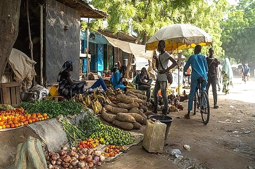
Maroua Grand Marché (Central Market)
The Lamidat of Maroua (Traditional Palace)
Artisanal Tannery District
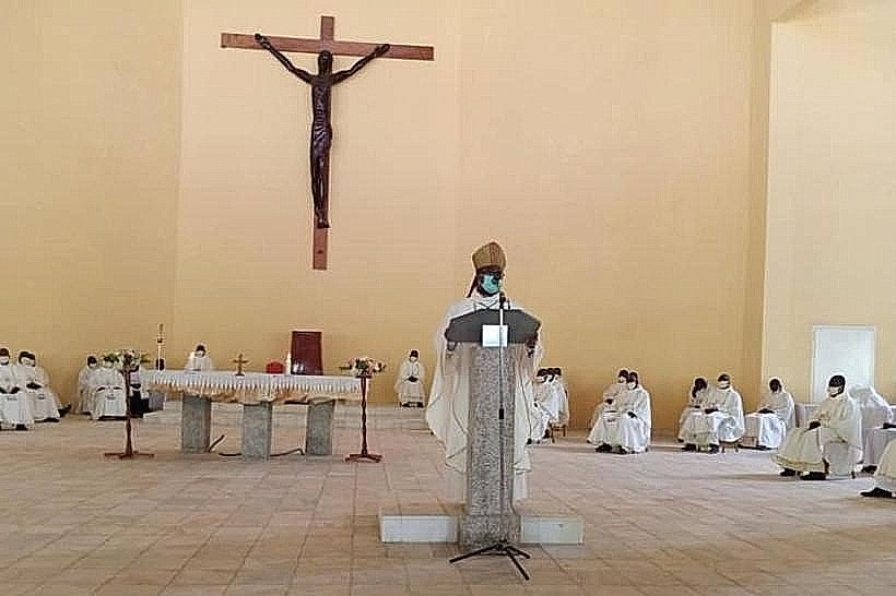
Cathedral of Notre Dame de l'Assomption
Zibi Mountains (Scenic viewpoint)
Transportation Network
Movement within the city relies on motorcycle taxis (Benskins) and yellow shared taxis. There is no metro or rail system. "Clandos" (unlicensed four-wheel vehicles) handle regional transport. Official taxis are yellow. Traffic density is moderate, characterized by high volumes of bicycles and motorcycles. Traffic often slows during the dry season due to sand on the roadways.
Safety & "Red Zones"
The general safety level is low to moderate due to regional instability and the proximity of the Nigerian border. Avoid all peripheral areas after 18:00. Explicitly avoid travel toward the Nigerian border crossings (Mora or Fotokol) without military escorts. Common risks include kidnapping for ransom and sporadic insurgent activity.
Digital & Financial Infrastructure
Average internet speed is 5-15 Mbps (4G). Main mobile carriers are MTN, Orange, and Camtel. Card acceptance is nearly non-existent; the economy is cash-dependent (XAF). ATMs are available at bank branches (Afriland, BICEC) in the city center.
Climate & Air Quality
Temperatures range from 20°C to 45°C. The city experiences extreme Sahelian heat with a short rainy season (July–September). Air quality is severely poor between December and February due to the Harmattan (Saharan dust), which causes high levels of particulate matter and respiratory irritation.
Culture & Social Norms
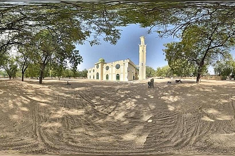
Tipping is not required but 500 XAF is appreciated. Social norms are strictly governed by Islamic traditions; conservative dress is mandatory (long clothing covering limbs). Handshakes are the standard greeting among men; public displays of affection are prohibited. Alcohol is restricted to specific licensed quarters (Quartier Pito).
Accommodation Zones
Plateau: Recommended for security, logistical proximity to the airport, and better infrastructure.
Domayo: Recommended for central commercial access and proximity to the University.
Local Cost Index
1 Espresso: 1,000 XAF ($1.63)
1 Standard Lunch: 3,000 XAF ($4.90)
1 Metro/Bus Ticket: 250 XAF ($0.41) - (Standard shared taxi fare)
Nearby Day Trips
Waza National Park (120 km)
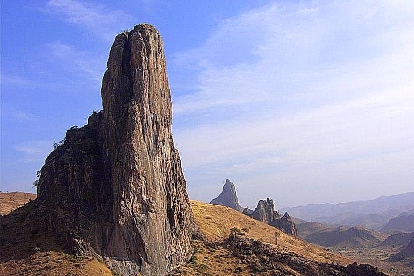
Rhumsiki (Kapsiki Mountains) (110 km)
Mokolo (Traditional Market) (80 km)
Maga Dam and Lake (90 km)
Facts & Legends
A verified historical oddity is Maroua's artisanal tannery district, where leather is still processed using techniques that have remained largely unchanged since the 19th century, supplying high-quality skins to European luxury houses. Local legend speaks of the "Spirits of the Mayos"; it is said that the riverbeds are never truly dry, and that an underground river protected by ancient entities flows beneath the city, emerging only to those who know the correct traditional incantations to reveal hidden water sources during the peak of the drought.