Information
City: Mexican HatCountry: USA Utah
Continent: North America
Mexican Hat, USA Utah, North America
Mexican Hat is a remote census-designated place in San Juan County, situated on the San Juan River along the northern border of the Navajo Nation. It functions as a minimalist staging point for the iconic landscapes of the Four Corners region.
Historical Timeline
The community was established in the late 1800s following the discovery of oil by American settlers. It experienced several dramatic cycles of boom and bust, with its population surging to over 1,000 residents during a 20th-century uranium mining rush. Its name is derived from the "Mexican Hat Rock," a 60-foot-wide sandstone formation that resembles an inverted sombrero. The town founders reportedly chose the English name because the Spanish term sombrero was considered too difficult for early residents to spell consistently.
Demographics & Population
The 2026 projected population is 18, continuing a steep multi-decade decline from 88 in 2000 and 21 in 2020. The current demographic is 100% Native American (American Indian & Alaska Native). The median age of residents is approximately 65 years.
Urban Layout & Key Districts
The River Bend (Central): Located along a curve of the San Juan River; contains the primary service hub including the San Juan Inn and local boat launches.
Mexican Hat Rock Area (North): Situated 3 kilometers north of the town center; consists of primitive camping sites and the trail to the "Hat" pedestal.
Halchita (South): A Navajo community located directly across the river in Arizona, which shares logistical ties with Mexican Hat.
Top City Landmarks
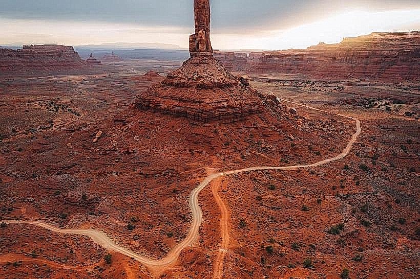
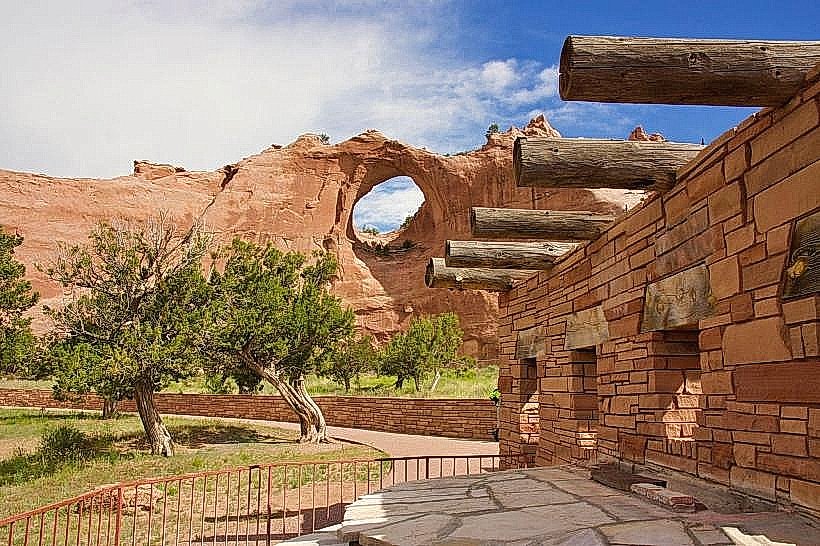
Mexican Hat Rock: A 18-meter-wide sandstone disk balanced on a narrow shale pedestal; it features two established rock climbing routes.
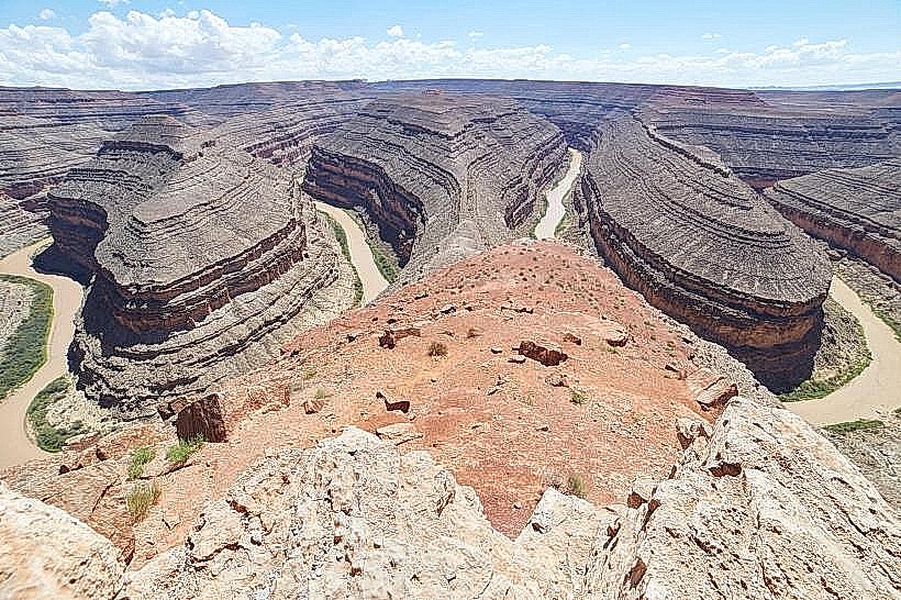
Goosenecks State Park: Located 14 kilometers north; offers a dramatic view of the San Juan River’s entrenched meanders, which drop 300 meters below the rim.
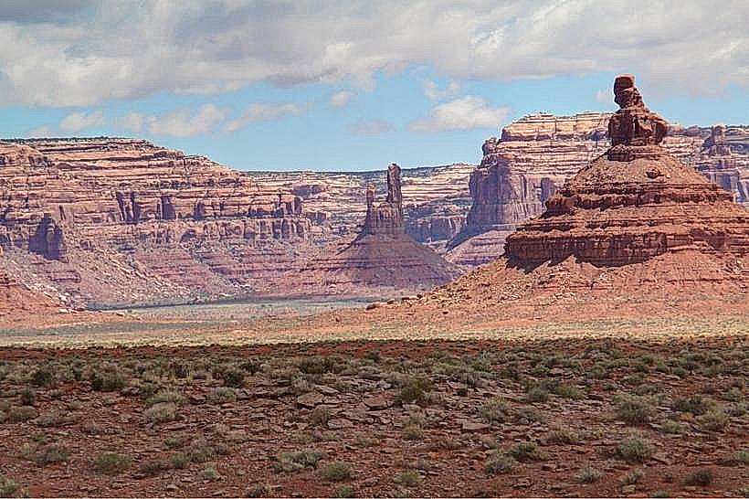
Valley of the Gods: A 27-kilometer gravel loop through towering sandstone buttes, often described as a smaller, unpaved Monument Valley.
Forrest Gump Point: Located 21 kilometers south on US-163; the iconic location where the character Forrest Gump ended his cross-country run.
Moki Dugway: A series of steep, unpaved switchbacks carved into the face of Cedar Mesa, providing expansive views of the river valley.
Transportation Network
Movement is exclusively automotive via US-163. There is no public transit or regional bus service. The town is a critical stop for rafters on the San Juan River, serving as a primary launch or take-out point for multi-day trips. Mexican Hat has very limited fuel and grocery options; travelers are advised to refuel in Bluff (42 km north) or Kayenta, AZ (70 km south). The closest commercial air service is in Moab (165 km).
Safety & "Red Zones"
The general safety level is very high due to the extremely small population. There are no "red zones." The primary risks are environmental: flash floods on unpaved roads like the Valley of the Gods and extreme desert heat. Standard wilderness precautions are required; cellular reception is spotty and disappears entirely once off the main highway.
Digital & Financial Infrastructure
Average internet speed is 50–100 Mbps, with limited satellite and terrestrial wireless services. Mobile coverage (primarily Verizon) is functional in town but unreliable at nearby landmarks like the Goosenecks. Card acceptance is standard at the San Juan Inn and local trading posts. There are no standalone bank branches; the nearest significant financial services are in Bluff or Blanding.
Climate & Air Quality
Temperatures range from -7°C to 8°C in winter (January) and 20°C to 38°C in summer (July). The area is extremely arid. Air quality is consistently "Excellent," providing some of the clearest long-distance visibility in the United States.
Culture & Social Norms
The standard tipping rate is 18–20%. The culture is a quiet intersection of Navajo heritage and the transient traffic of river rafters and European tourists. Dress code is "High Desert Functional." As the town borders the Navajo Nation, travelers should be aware that alcohol is prohibited on the Reservation across the river, though it is legally sold in Mexican Hat.
Accommodation Zones
The San Juan Riverfront: The San Juan Inn is the primary lodging option, offering cliffside views and river access.
Primitive Camping: Located near the Mexican Hat Rock and within the Valley of the Gods (BLM land).
Local Cost Index
1 Espresso: $4.50 (available at specialized cafes)
1 Standard Lunch: $16.50
1 State Park Entry (Goosenecks): $5.00
Nearby Day Trips
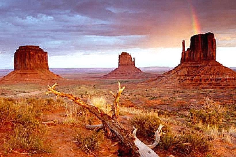
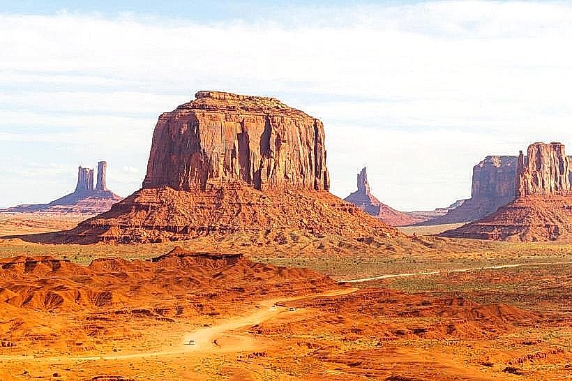
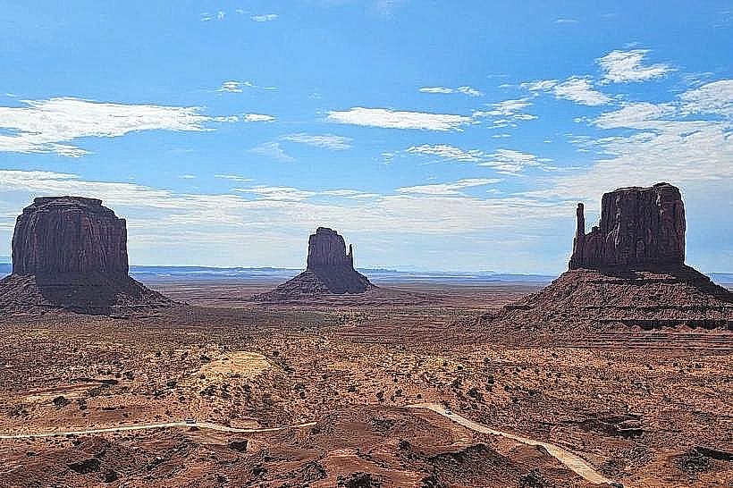
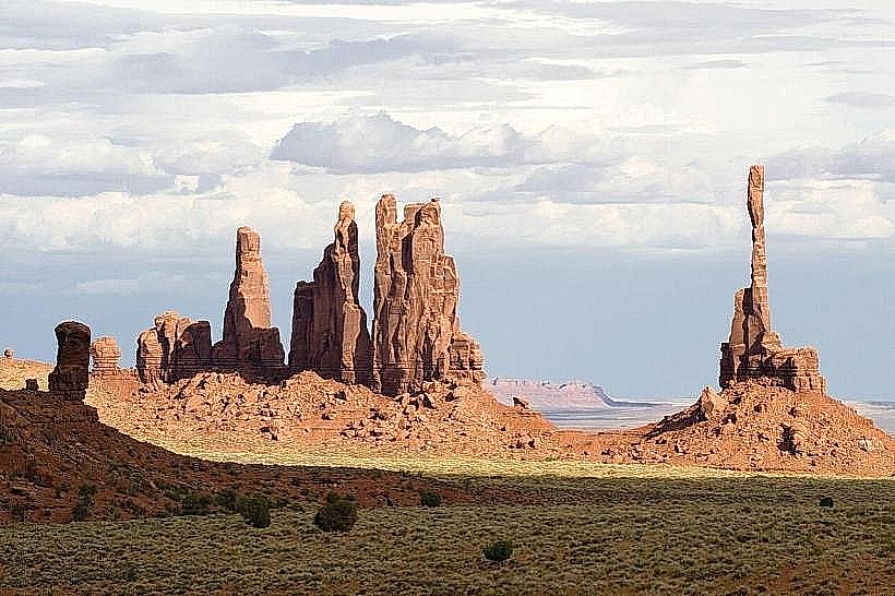
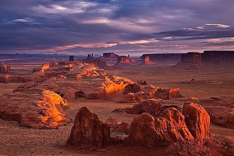
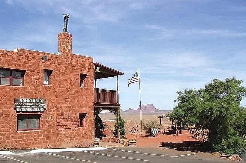
Monument Valley Navajo Tribal Park: (35 km)
Muley Point Overlook: (20 km)
Hovenweep National Monument: (85 km)
Natural Bridges National Monument: (70 km)
Facts & Legends
A local legend claims that the Mexican Hat Rock was formed by a giant who petrified while wearing his favorite sombrero. A verified historical oddity is that the rock's "hat" is so perfectly balanced that it has survived multiple significant earthquakes and decades of high-velocity desert wind without shifting, though geologists classify it as a "temporally limited" structure that will eventually topple due to the erosion of its shale base.