Information
Landmark: Alpe Adria TrailCity: Villach
Country: Austria
Continent: Europe
Alpe Adria Trail, Villach, Austria, Europe
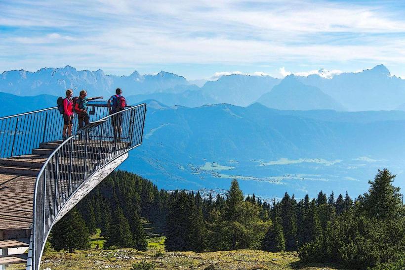
The Alpe Adria Trail is a long-distance hiking route totaling approximately 750 km, connecting the Grossglockner in Carinthia, Austria, to Muggia on Italy's Adriatic coast. The stages surrounding Villach represent the "Meeting Point of Three Cultures" (Austria, Slovenia, Italy).
Visual Characteristics
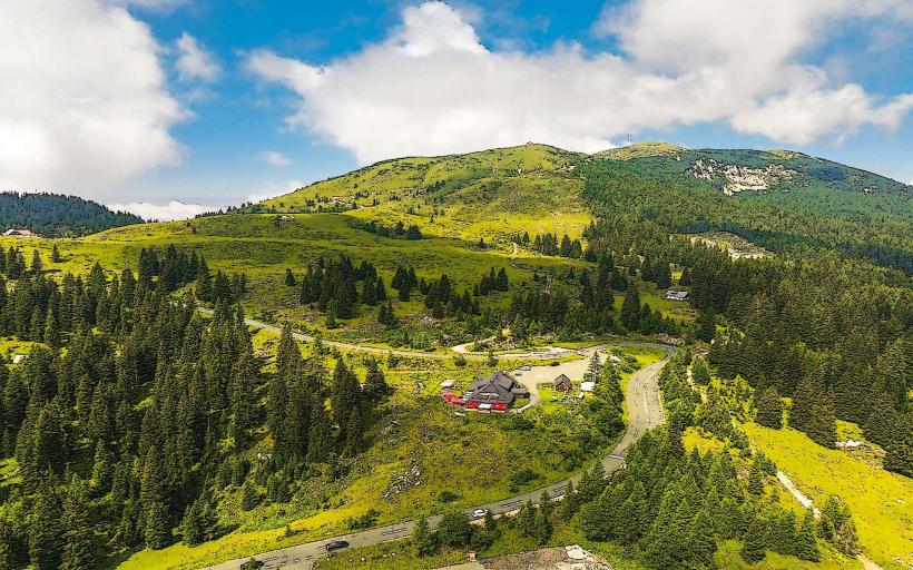
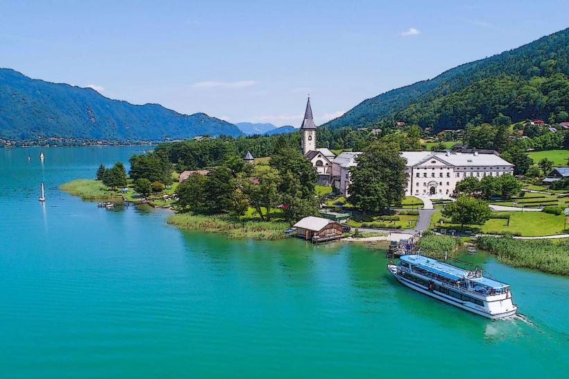
The trail sections near Villach are characterized by diverse topography: turquoise alpine lakes (Lake Faak, Lake Ossiach), the broad Drau River valley, and the rugged limestone peaks of the Karawanken and Julian Alps. The path utilizes a mix of forest tracks, alpine meadows, and historical mule trails.
Location & Access Logistics
Villach serves as a central hub for Stages 21, 22, and 23.
Stage 21 (Velden to Baumgartnerhöhe): Passes through the southern hills overlooking Lake Faak.
Stage 22 (Baumgartnerhöhe to Kranjska Gora): Crosses the border into Slovenia via the Jepca Saddle.
Transit: Villach Hauptbahnhof is the primary rail link. The "Postbus" and specialized Alpe-Adria-Trail shuttles provide transit between stage start/end points.
Arrival: Villach is positioned roughly 2/3 of the way through the trail’s north-south trajectory.
Historical & Ecological Origin
The trail was established as a joint project between the tourism boards of Carinthia, Slovenia, and Friuli-Venezia Giulia. It emphasizes "pleasure hiking" rather than extreme mountaineering. Ecologically, it traverses several protected areas, including the Dobratsch Nature Park west of Villach, which is a critical karst water reservoir for the region.
Key Highlights & Activities
Three-Country Corner (Dreiländereck): A specific trail segment where the borders of Austria, Italy, and Slovenia meet at a single point (elevation 1,508m).
Lake Faak Views: Elevated panoramic views of the lake’s island and the Mittagskogel peak.
Culinary Experience: The trail focuses on "Alpe-Adria Cuisine," blending Carinthian mountain dishes with Mediterranean influences.
Infrastructure & Amenities
The trail is marked with standardized green-and-white signs and the AAT logo. Most stages are designed to end at locations with overnight accommodations and dining.
Digital: A dedicated Alpe-Adria-Trail app provides GPS tracking and offline maps.
Connectivity: 5G/4G coverage is strong in the valleys but can be absent on high-altitude border ridges.
Best Time to Visit
The sections around Villach are best hiked from late May to October.
June: Optimal for alpine wildflower blooms.
September/October: Best for stable weather and high-visibility views (post-summer haze).
Winter: High-altitude sections (Stage 22) are impassable without specialized snow equipment and are not recommended for standard hiking.
Facts & Legends
A technical feature of the Alpe Adria Trail is that it is intentionally "non-technical" (Level T1 or T2), meaning no climbing gear is required. Legend suggests that the paths between Villach and Slovenia were used for centuries by clandestine traders and "smugglers" moving salt and tobacco between the Austrian Empire and the Adriatic coast.
Nearby Landmarks
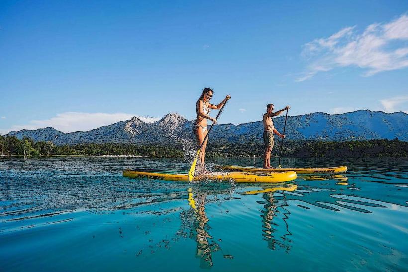
Lake Faak (Faaker See) – Intersected by Stage 21
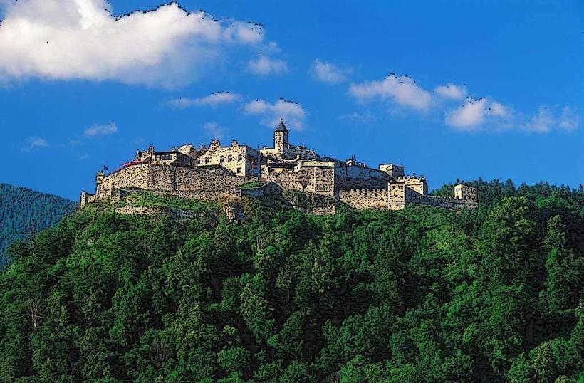
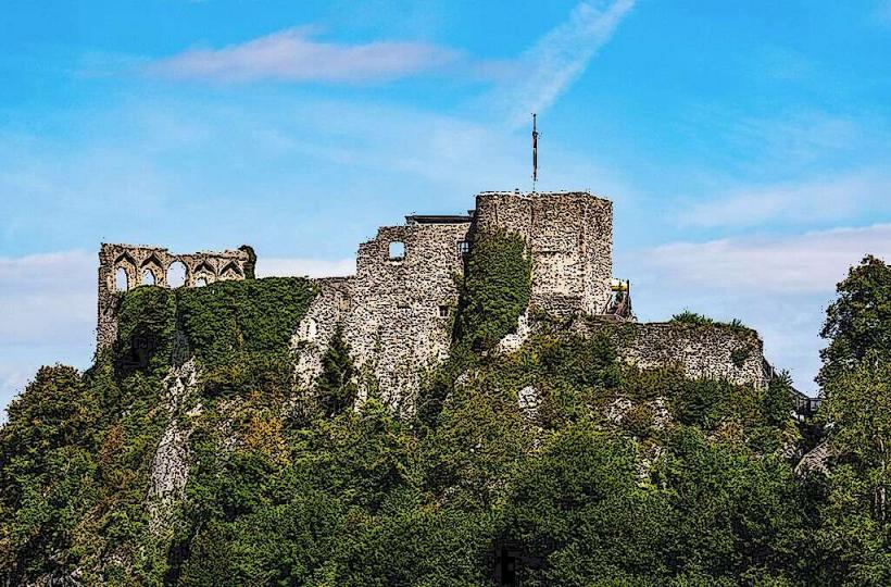
Finkenstein Castle Ruins – 0.5 km from the Stage 21 path
Dobratsch Nature Park – West of the Villach stages
Mount Mittagskogel – Prominent landmark on Stage 22
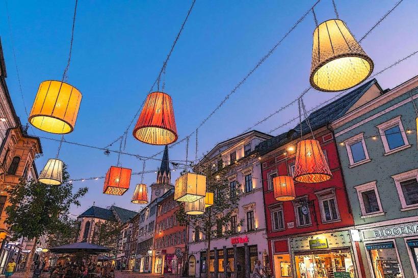
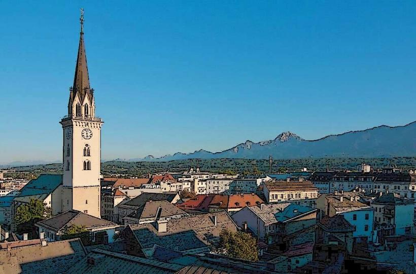
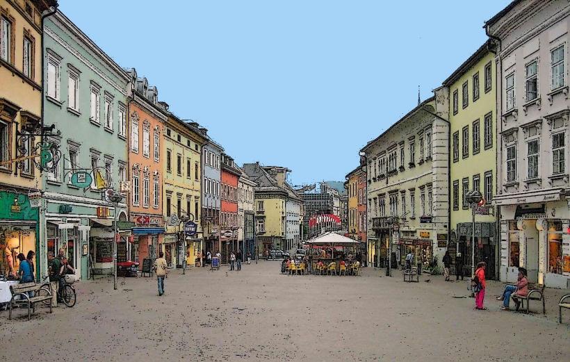
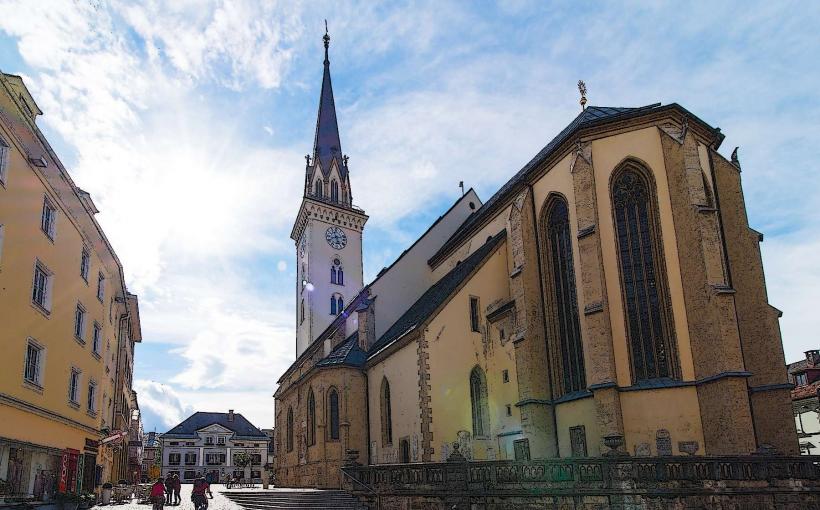
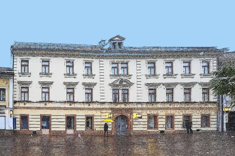
Villach City Center – Primary resupply point between stages