Information
Landmark: Villach Alpine RoadCity: Villach
Country: Austria
Continent: Europe
Villach Alpine Road, Villach, Austria, Europe
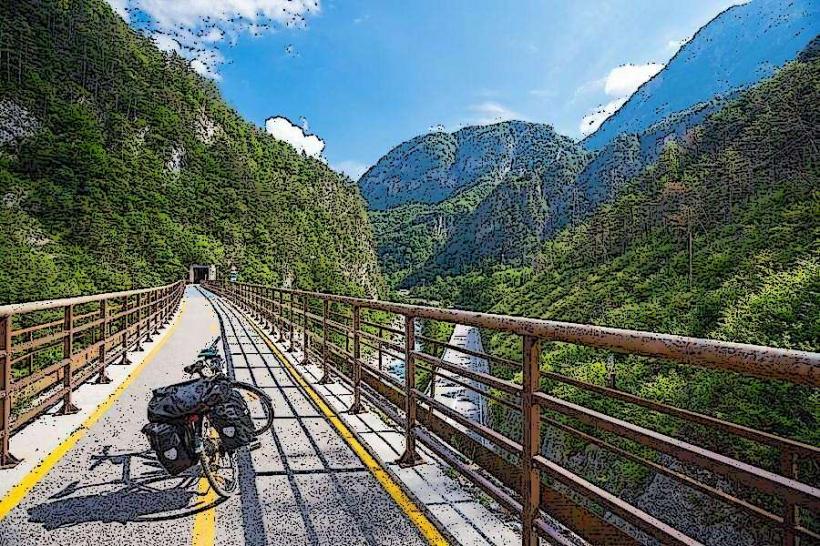
The Villach Alpine Road (Villacher Alpenstraße) is a 16.5-kilometer panoramic toll road located in the Dobratsch Nature Park, leading from the Villach-Möltschach district to the "Rosstratte" plateau on the Dobratsch mountain.
Visual Characteristics
The road is characterized by high-quality asphalt engineering, featuring 7 primary hairpin bends and 116 switchback turns. It ascends approximately 1,200 meters in altitude, with a maximum gradient of 10%. The environment shifts from dense limestone-based mixed forests at the base to open alpine meadows and jagged karst rock faces, specifically the "Red Wall" (Rote Wand), a sheer 400-meter precipice resulting from a massive 1348 earthquake.
Location & Access Logistics
Entry Point: Villacher Alpenstraße 90, 9500 Villach. Located at the western edge of the city.
Vehicle Access: Private toll road; accessible by cars, motorcycles, buses, and bicycles.
Public Transit: During summer (late May to early October), the "Postbus" and the "Nature Park Bus" operate from Villach Hauptbahnhof (Main Station).
Toll System: Fees are mandatory from mid-April to mid-November. In winter, the road is free to drive, but parking fees apply at the summit.
Historical & Ecological Origin
Initial plans for a railway to the summit began in 1912 but were delayed by two world wars. Construction on the current road finally began on June 3, 1961, directed by Franz Wallack (planner of the Grossglockner High Alpine Road). The project required 135 tonnes of explosives to blast through the limestone and was officially opened by Federal President Franz Jonas on July 17, 1965. The road serves as the gateway to Carinthia's oldest nature reserve, the Dobratsch Nature Park.
Key Highlights & Activities
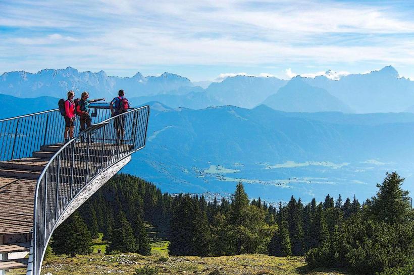
Skywalk (Parking Lot 6): A cantilevered viewing platform at 1,483m extending over the abyss of the Red Wall.
Alpine Garden (Parking Lot 6): Contains over 800 species of alpine plants.
Rosstratte (End of Road, 1,732m): A plateau featuring themed playgrounds, sun loungers, and the starting point for the 1.5-hour hike to the Dobratsch summit (2,166m).
Geology Trail: A barrier-free educational path titled "From an ocean to a mountain."
Infrastructure & Amenities
Parking: 11 designated parking areas along the route.
Sanitation: Restrooms are located at the toll station, the Alpine Garden, Aichingerhütte, and Rosstratte.
Dining: Multiple mountain huts (Aichingerhütte, Rosstrattenstüberl) serve traditional Carinthian cuisine.
Connectivity: Reliable cellular coverage is maintained for emergency and standard use across most of the route.
Best Time to Visit
Photography: Late afternoon provides optimal lighting for the southern alpine vistas (Julian Alps and Karawanks).
Wildlife: Early morning is best for spotting chamois and alpine birds.
Seasons: June for wildflowers (gentians and orchids); September for stable weather and clear visibility.
Night Access: Motorbikes are prohibited between 20:00 and 07:00. General entry is prohibited after 21:30 or 22:00 depending on the season.
Facts & Legends
The road is one of Austria's five "Premium Alpine Roads." A notable fact is that the summit of the Dobratsch, accessible from the end of the road, houses the two highest pilgrimage churches in the Eastern Alps, located within meters of each other (the "German" and "Windish" churches).
Nearby Landmarks
Villacher Alpen Arena: 0.2km (at the base/toll station)
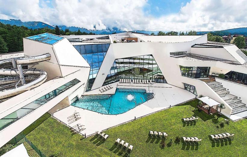
Thermal Spa Warmbad-Villach: 5.0km South
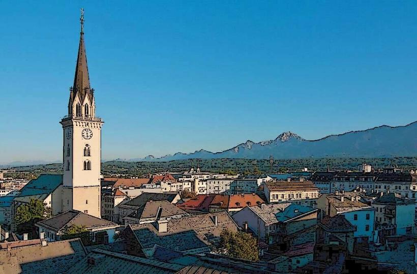
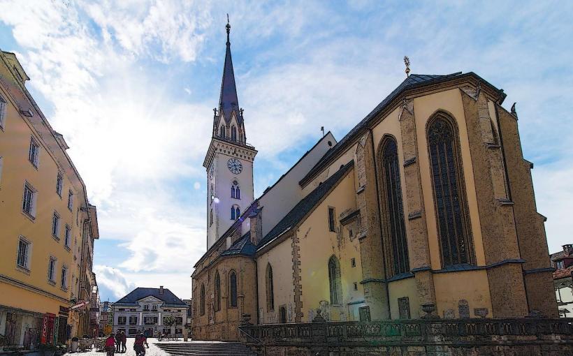
Villach City Center: 6.5km East
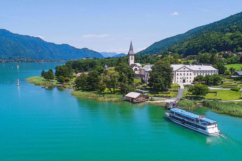
Lake Faak: 12.0km Southeast