Information
Landmark: Anthony LakesCity: Baker City
Country: USA Oregon
Continent: North America
Anthony Lakes, Baker City, USA Oregon, North America
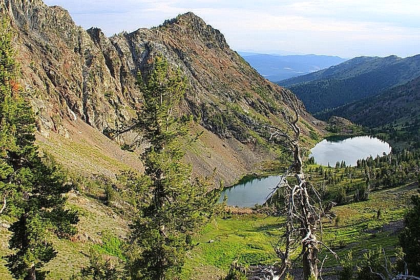
Anthony Lakes is a high-alpine lake located in the Wallowa-Whitman National Forest, near Baker City, Oregon. It is a glacial cirque lake situated at an elevation of 6,970 feet.
Visual Characteristics
The lake itself is characterized by its clear, deep blue water, reflecting the surrounding granite peaks. The shoreline is primarily composed of rocky terrain and sparse alpine vegetation, including subalpine fir and various low-lying shrubs. The elevation contributes to a generally cool climate.
Location & Access Logistics
Anthony Lakes is accessible via the Anthony Lakes Highway (Forest Road 73) from Baker City. The distance from Baker City to the lake is approximately 20 miles. The highway is paved for the initial portion and transitions to gravel. Parking is available at the Anthony Lakes Ski Area base lodge and designated pull-offs near the lake. Public transport is not available; a personal vehicle is required.
Historical & Ecological Origin
Anthony Lakes is a natural glacial cirque lake, formed by the erosive action of glaciers during the Pleistocene epoch. The surrounding peaks are composed of Paleozoic and Mesozoic era sedimentary and volcanic rocks. The area is part of the Blue Mountains ecoregion.
Key Highlights & Activities
Activities include hiking on trails such as the Lakes Basin Trail, fishing for trout (rainbow and brook trout are stocked), and photography. During winter months, the Anthony Lakes Ski Area operates, offering downhill skiing and snowboarding.
Infrastructure & Amenities
Restrooms are available at the Anthony Lakes Ski Area base lodge. Limited shade is present near the lodge and in forested areas away from the immediate shoreline. Cell phone signal is intermittent and generally unreliable. Food vendors are typically associated with the ski area operations during their season; otherwise, no vendors are present at the lake.
Best Time to Visit
For hiking and general lake access, the best months are July through September, when snow has typically receded. Mid-morning offers good lighting for photography as the sun rises over the eastern peaks. The lake is generally ice-free from late May or June through October.
Facts & Legends
A specific geological feature to note is the presence of a small, undeveloped campground located a short distance from the lake, offering primitive camping facilities. The area is known for its dark skies, making it suitable for stargazing.
Nearby Landmarks
- Wallowa-Whitman National Forest Ranger Station (Baker City) - 19km Southwest
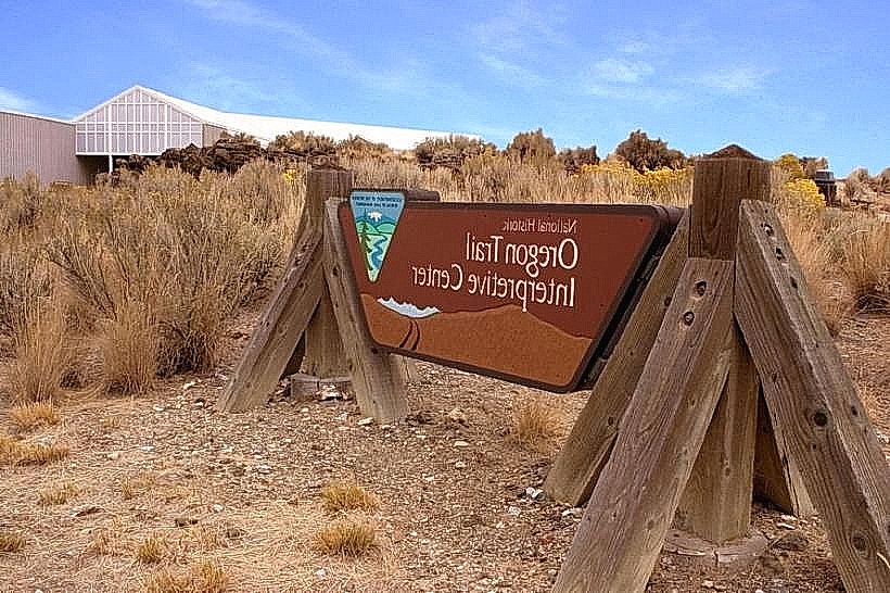
- Oregon Trail Interpretive Center - 22km Southwest
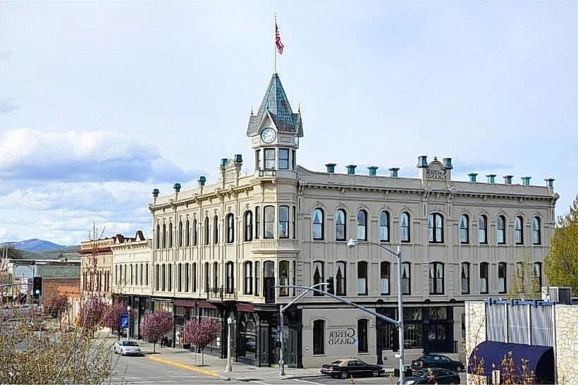
- Geiser Grand Hotel (Baker City) - 20km Southwest
- Powder River Scenic Byway - Access point 15km Southwest