Information
Landmark: Baker City Cycling ClubCity: Baker City
Country: USA Oregon
Continent: North America
Baker City Cycling Club, Baker City, USA Oregon, North America
The Baker City Cycling Club is a network of mountain bike trails located in the foothills surrounding Baker City, Oregon. These trails are designed for recreational cycling and offer varying degrees of difficulty.
Visual Characteristics
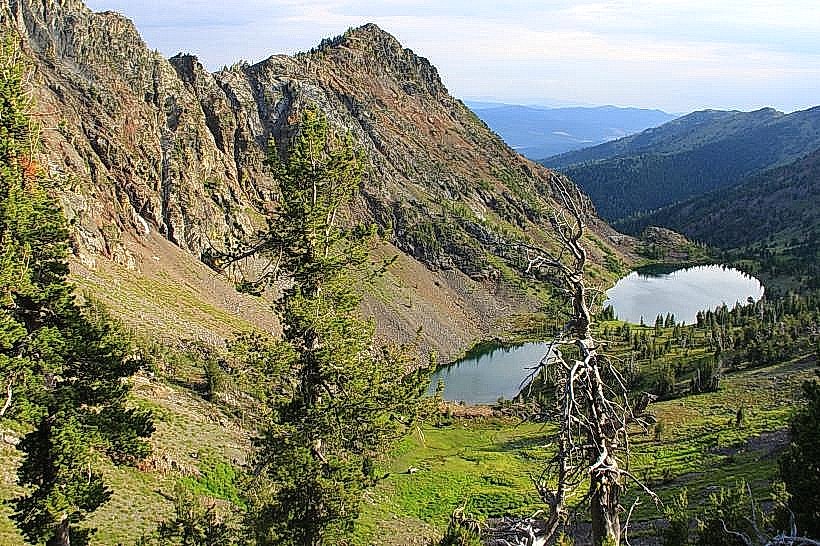
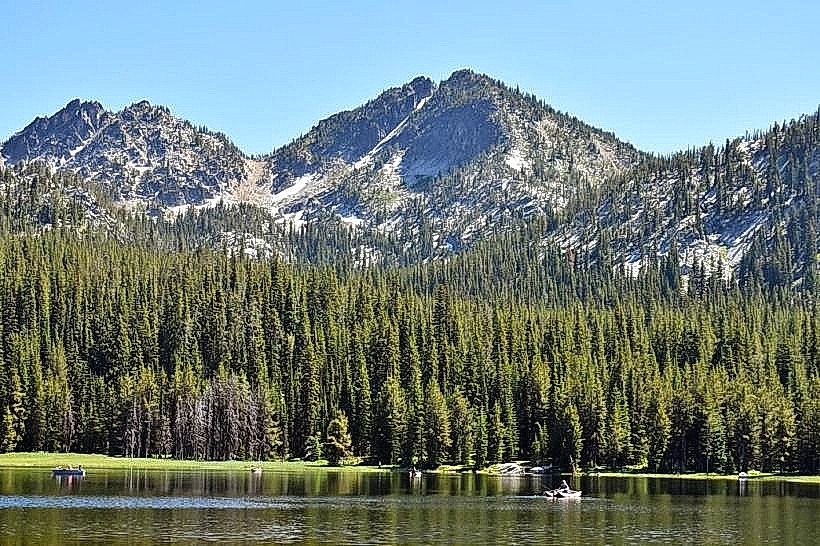
The trails traverse mixed coniferous forest, primarily Douglas fir and Ponderosa pine. The terrain consists of packed dirt, gravel, and exposed rock sections. Elevation gain varies significantly across the trail system, with some routes reaching moderate inclines. Trail widths range from narrow singletrack to wider doubletrack sections.
Location & Access Logistics
Access points are situated approximately 3-5 kilometers east of Baker City's downtown core. Primary access is via the Forest Service Road 6700, which is paved for the initial 2 kilometers before transitioning to maintained gravel. Parking is available at designated pull-offs and a small lot near the main trailhead. Public transport is not available to the trailheads.
Historical & Ecological Origin
The trails were primarily developed and maintained by the Baker City Cycling Club, a volunteer organization, starting in the late 1990s. The area's ecology is characteristic of the Blue Mountain ecoregion, supporting diverse flora and fauna adapted to semi-arid montane conditions.
Key Highlights & Activities
Cycling is the primary activity. Specific trails include "The Ridge Runner" (intermediate, 8km loop), "Creek Bed Crawler" (beginner, 4km out-and-back), and "Summit Scramble" (advanced, 12km loop with significant elevation gain). Trail conditions are best assessed on-site due to seasonal variations.
Infrastructure & Amenities
Basic trail signage is present at junctions. No permanent restrooms or food vendors are located directly at the trailheads. Cell phone signal is intermittent to non-existent on most trails. Limited natural shade is available along the forested sections.
Best Time to Visit
The optimal visiting period is from late spring (May) through early autumn (October), avoiding periods of snowpack or excessive mud. Mid-morning offers good lighting for photography on the eastern-facing slopes. Afternoon can be warmer.
Facts & Legends
A local anecdote suggests that certain rock formations along the "Summit Scramble" trail were used as lookout points by early prospectors during the Oregon Gold Rush era, though this is unverified.
Nearby Landmarks
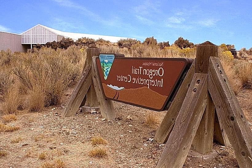
- Oregon Trail Interpretive Center (3.5km Southwest)
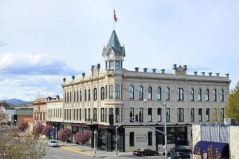
- Geiser Grand Hotel (4.0km West)
- Leo Adler Home Museum (4.2km West)
- Powder River Scenic Byway (Access point 2.0km South)