Information
Landmark: Bachalpsee LakeCity: Grindelwald
Country: Switzerland
Continent: Europe
Bachalpsee Lake, Grindelwald, Switzerland, Europe
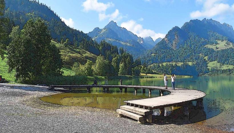
Bachalpsee is a high-alpine lake situated at an elevation of 2,265 meters above the village of Grindelwald. It is characterized by its two distinct basins separated by a natural dam.
Visual Characteristics
The lake is renowned for its turquoise, mirror-like water that reflects the snow-capped peaks of the Schreckhorn, Finsteraarhorn, and Wetterhorn. The surrounding landscape consists of high-altitude moorland, alpine meadows, and jagged rock formations. There are no trees at this elevation; the vegetation is limited to hardy alpine grass and seasonal wildflowers.
Location & Access Logistics
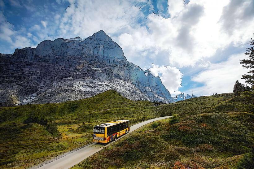
The lake is located in the Bernese Oberland. Access requires a multi-stage transit:
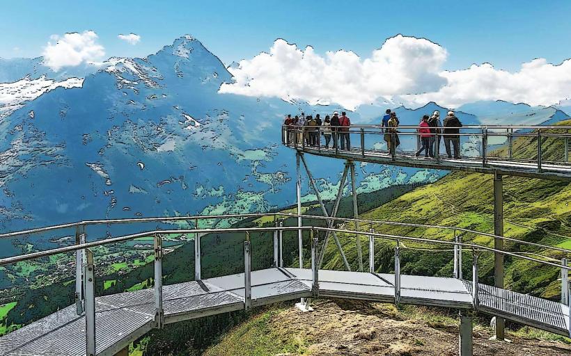
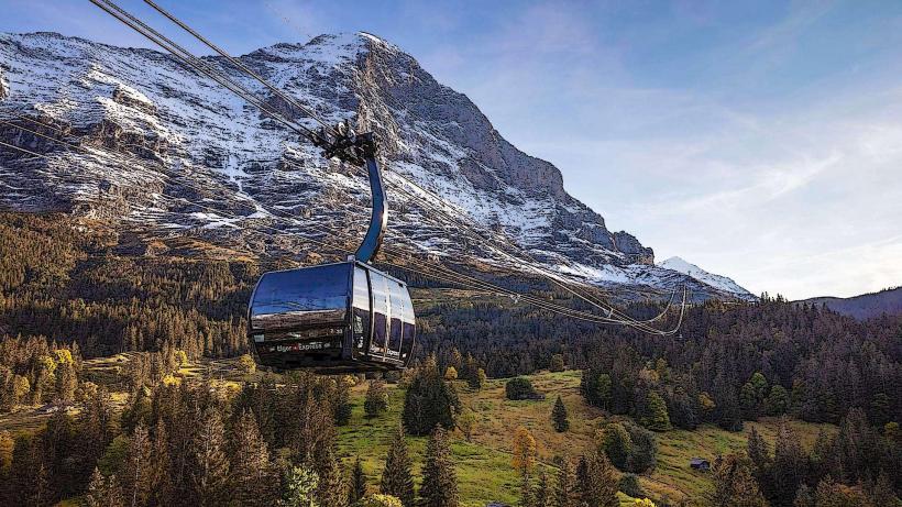
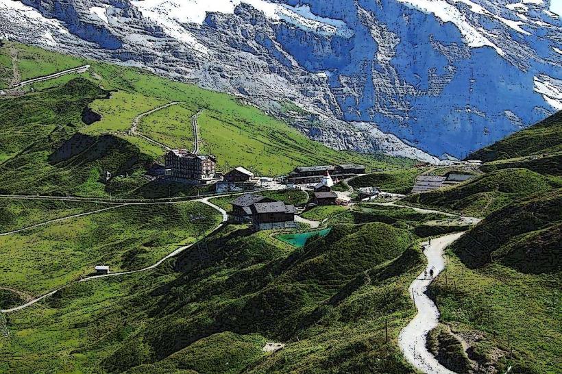
Gondola: Take the Grindelwald–First cableway from the valley to the First summit station (25 minutes).
Hiking: From the First station, a well-maintained gravel path leads to the lake. The hike covers approximately 3 kilometers with a 150-meter elevation gain and takes 50 to 60 minutes one way.
Alternative: Experienced hikers can reach the lake from Faulhorn or Grosse Scheidegg via more demanding alpine trails. There is no vehicle or mountain bike access allowed on the final path to the lake.
Historical & Ecological Origin
The lake was formed by glacial retreat and is fed by snowmelt and natural springs. It is a protected ecological site within a high-moor landscape. The surrounding area is part of the Jungfrau-Aletsch UNESCO World Heritage region. The lake remains frozen for approximately six months of the year, usually from November to May.
Key Highlights & Activities
Photography: The "double peak" reflection is a primary objective for visitors; this phenomenon is most consistent during early morning hours when the water surface is undisturbed by wind.
Hiking: The lake is a central node for the classic "First–Bachalpsee–Faulhorn–Schynige Platte" trek.
Picnicking: There are several benches and flat grassy areas around the shoreline, though no permanent structures or restaurants exist at the lake itself.
Infrastructure & Amenities
Infrastructure at the lake is minimal to preserve the natural environment. A small emergency shelter and basic public toilets are located near the eastern basin. There is no catering or shop at the lake; all supplies must be brought from the First station. 5G cellular coverage is generally available but can be intermittent depending on the specific shoreline position.
Best Time to Visit
Season: Late June to early October for hiking. The trail is typically buried in snow during winter and spring.
Time of Day: Early morning (09:00–10:30) provides the best lighting and the calmest water for reflections.
Atmosphere: Late September offers the clearest air and the first dusting of snow on the surrounding 4,000-meter peaks.
Facts & Legends
The lake is often referred to as the "Blue Jewel" of the Bernese Oberland. A verified ecological fact: the lake supports a population of alpine trout and minnows despite the extreme altitude and long freezing periods.
Nearby Landmarks
First Summit Station – 3.0km Southeast (via trail)
Faulhorn Summit – 3.5km Northwest (via trail)
Schreckhorn – 8.5km South (Visual distance)
Wetterhorn – 6.0km East (Visual distance)
Grindelwald Village – 1,200m below (Vertical distance)