Information
Landmark: Grindelwald GlacierCity: Grindelwald
Country: Switzerland
Continent: Europe
Grindelwald Glacier, Grindelwald, Switzerland, Europe
The Grindelwald Glacier system historically consists of two major ice masses: the Upper Grindelwald Glacier (Oberer Grindelwaldgletscher) and the Lower Grindelwald Glacier (Unterer Grindelwaldgletscher). Both descend from the high peaks of the Jungfrau region toward the Grindelwald valley.
Visual Characteristics
The landscape is defined by deep, narrow gorges, polished limestone walls, and receding ice tongues. The Upper Glacier is noted for its steep ice fall between the Wetterhorn and Mettenberg. The Lower Glacier is characterized by a massive glacial gorge (Gletscherschlucht) where the ice once reached the valley floor but has now retreated high into the mountains, leaving behind a dramatic canyon with vertical rock walls up to 300 meters high.
Location & Access Logistics
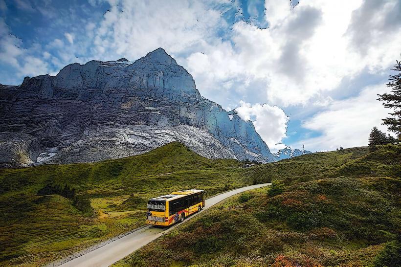
Glacier Canyon (Lower Glacier): Located at the southern end of Grindelwald. Reachable via a 20-minute walk from the village or by local bus (Line 121).
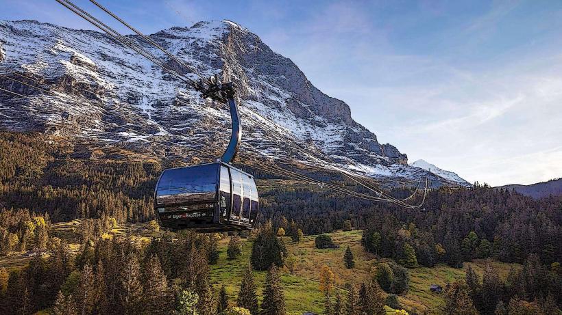
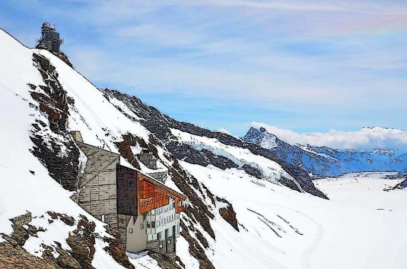
Upper Glacier: Best viewed from Pfingstegg (via cableway) or by hiking toward the Grosse Scheidegg.
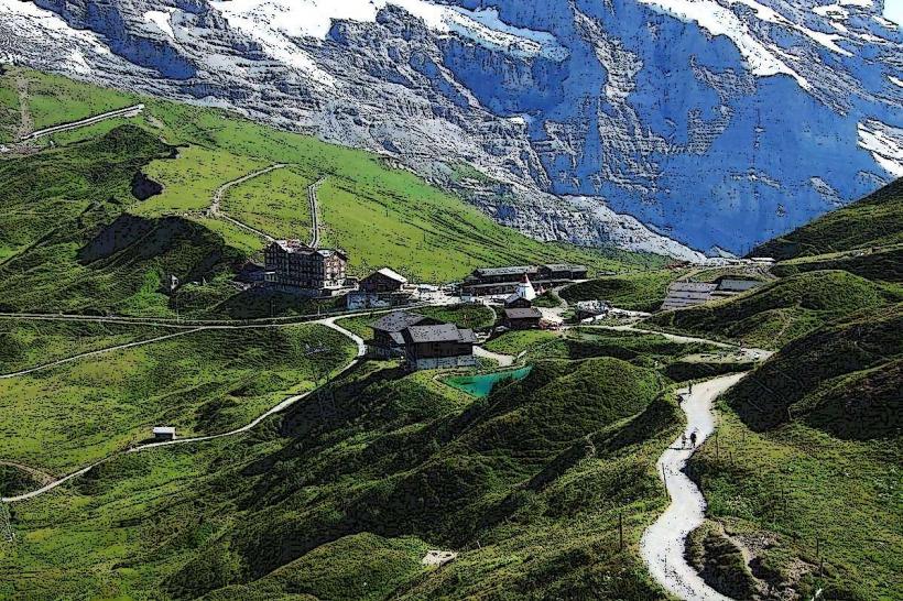
Hiking: The Ischmeer (part of the Lower Glacier system) is accessible via the Eismeer station on the Jungfrau Railway or by a demanding hike to the Bäregg Hut.
Historical & Ecological Origin
During the "Little Ice Age" (mid-19th century), the glaciers extended nearly to the village of Grindelwald, making them some of the most accessible glaciers in Europe. Geologically, they carved the deep U-shaped valley of Grindelwald. Today, they are primary indicators of climate change; the Lower Glacier has experienced a catastrophic retreat, resulting in the formation of a glacial lake and necessitating the construction of a drainage tunnel for flood prevention.
Key Highlights & Activities
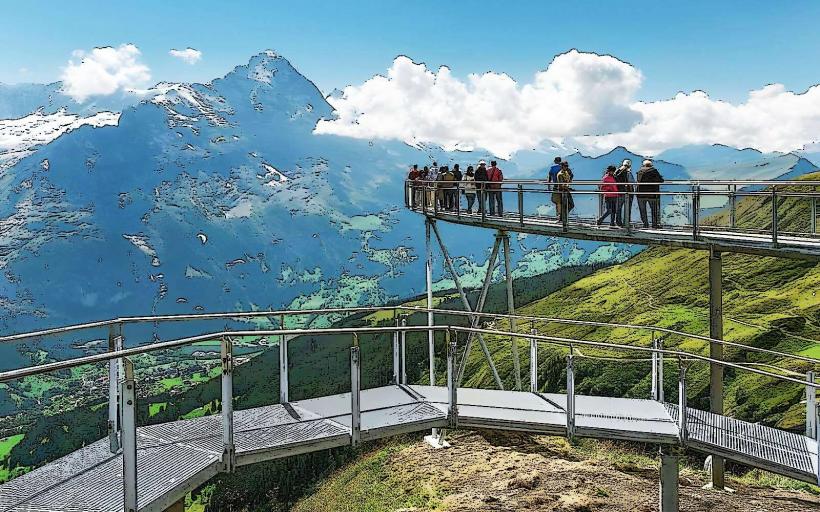
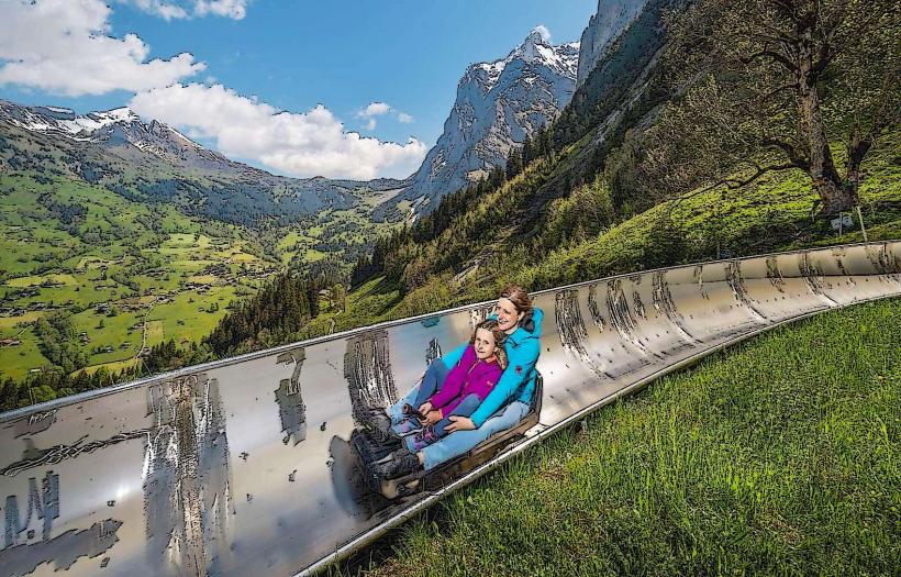
Gletscherschlucht (Glacier Canyon): A developed tourist site featuring a 1-km walkway through the gorge, a "Spiderweb" net suspended over the river, and the "Canyon Swing" (a 90-meter freefall).
Blue Ice Tunnels: Historically, ice caves were carved into the Upper Glacier, though their availability depends on seasonal ice stability.
Bäregg Hut: A hiking destination providing a direct view of the Ischmeer's receding ice and the debris-covered glacier tongue.
Infrastructure & Amenities
The Glacier Canyon site features a restaurant, a mineral museum, and public restrooms. It is equipped with 5G cellular coverage. The canyon walkway is mostly flat and wheelchair accessible. High-alpine viewing points like Bäregg require a high level of physical fitness and alpine equipment.
Best Time to Visit
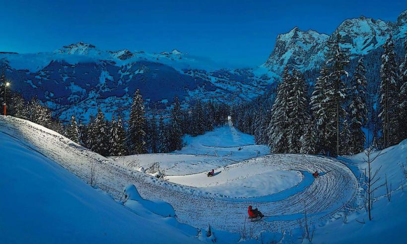
Canyon: Open from May to October. Friday nights often feature "Illuminated Canyon" events.
Viewing: Early summer (June/July) offers the most dramatic meltwater flow through the gorges.
Facts & Legends
In the 18th and 19th centuries, ice from the Grindelwald glaciers was commercially harvested and transported by rail to Paris and other European cities for use in hotels and hospitals. A verified geological fact: the retreat of the Lower Glacier caused a massive rock instability on the eastern flank of the Eiger (the Schlossberglinde), which is monitored constantly by geologists.
Nearby Landmarks
Pfingstegg – 1.5km North
Eiger North Face – 3.0km West
Wetterhorn – 2.0km East
Baye de Montreux – (Non-local; unrelated)
Grindelwald Village – 2.0km North