Information
Landmark: Bajgora MountainCity: Pec
Country: Kosovo
Continent: Europe
Bajgora Mountain, Pec, Kosovo, Europe
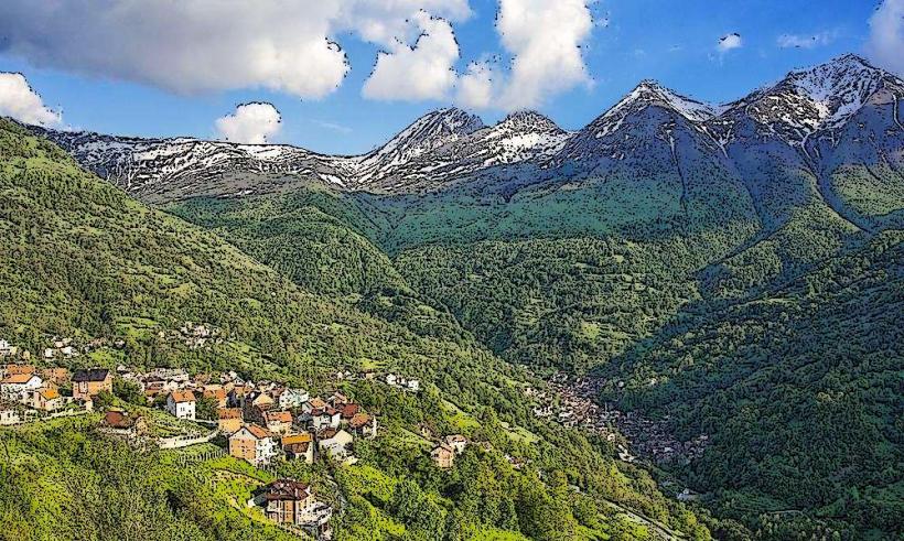
Bajgora Mountain is a high-altitude plateau and mountain range located in the northern part of Kosovo, forming part of the Kopaonik massif. While situated approximately 80 kilometers northeast of Peja (Pec), it is geographically centered near the city of Mitrovica and serves as a critical wind energy hub for the region.
Visual Characteristics
The landscape is characterized by rolling alpine meadows, sparse beech forests, and jagged volcanic rock outcrops. The terrain sits at an average elevation of 1,200 meters, with peaks reaching over 1,700 meters. The area is prominently marked by 27 large-scale white wind turbines, each standing 110 meters tall, which dominate the ridgeline against a backdrop of green pastures and grey stone.
Location & Access Logistics
Access is via the R129 regional road heading north from Mitrovica toward Podujeva. From Peja, the drive takes approximately 1 hour and 45 minutes via the M9 and M2 highways. The mountain roads are paved but steep with numerous hairpin turns; snow tires are mandatory from November to April. There is no formal public transport to the peaks, though local buses run from Mitrovica to the lower village of Bajgora.
Historical & Ecological Origin
Geologically, the area is part of the Vardar Zone, featuring Paleozoic schist and Neogene volcanic rocks rich in mineral deposits. Historically, the region was a significant mining center during the Roman and Ottoman periods due to its proximity to the Trepça mine complex. In 2021, it became the site of Kosovo's largest wind farm project (Selac Wind Farm), significantly altering the local ecological and industrial profile.
Key Highlights & Activities
Mountain biking is common on the service roads built for the wind turbines. Hiking trails lead to the peak of Bare, offering panoramic views of the Plain of Kosovo and the Kopaonik range. Off-road driving (4x4) is a frequent activity on the secondary gravel paths. In winter, the slopes are used for informal snowshoeing and backcountry skiing.
Infrastructure & Amenities
Infrastructure is minimal, consisting primarily of the wind farm technical station and scattered mountain huts. There are no public restrooms or formal visitor centers on the mountain top. Shade is scarce on the open plateau. Cell phone signal (4G/5G) is exceptionally strong due to the telecommunications equipment mounted on high ridges. Food vendors are limited to small taverns in Bajgora village.
Best Time to Visit
The optimal time for visiting is June through September for clear hiking conditions and mild temperatures. For photography of the wind turbines and mountain landscape, the "golden hour" shortly before sunset provides high-contrast lighting. Winter visits are strictly for experienced travelers due to heavy fog and deep snow drifts that frequently block access roads.
Facts & Legends
Bajgora is known as one of the windiest locations in the Balkans, with average wind speeds exceeding 7 meters per second. Local shepherds maintain a traditional transhumance lifestyle, moving livestock to these high pastures in summer. A local historical oddity is the presence of ancient "Saxon" mining shafts scattered across the slopes, remnants of medieval German miners brought to the region by Serbian kings.
Nearby Landmarks
Trepça Mine Museum – 15.0km Southwest
Zvečan Fortress – 18.0km Southwest
Batlava Lake – 22.0km Southeast
Kopaonik National Park (Border) – 12.0km North