Information
Landmark: Bamna RiverCity: Barishal
Country: Bangladesh
Continent: Asia
Bamna River, Barishal, Bangladesh, Asia
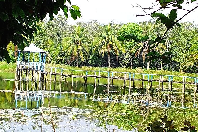
The Bamna River is a waterway located in the Barishal Division of Bangladesh. It serves as a significant drainage channel and transportation route within the region.
Visual Characteristics
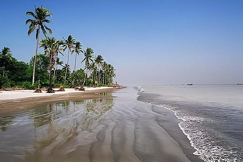
The river's width varies, typically ranging from 50 to 150 meters. Its water color is generally brown, influenced by sediment load from surrounding agricultural lands. The banks are characterized by alluvial soil, supporting dense vegetation including rice paddies, jute fields, and scattered trees such as mango and jackfruit.
Location & Access Logistics
The Bamna River flows through the southern part of the Barishal Division. Access is primarily via local roads connecting to the main highway N8. From Barishal city center, travel time by road is approximately 1.5 to 2 hours, depending on traffic. Limited parking is available at ferry terminals and local jetties. Public transport includes local buses to towns along the river and numerous small engine boats (locally known as 'engine boats') for riverine travel.
Historical & Ecological Origin
The Bamna River is a natural fluvial system, part of the Ganges-Brahmaputra-Meghna delta. Its formation is a result of alluvial deposition over millennia, shaped by the complex network of rivers and distributaries in the delta. Historically, it has been crucial for local irrigation and as a transport artery for goods and people.
Key Highlights & Activities
Boat tours along the river are the primary activity, offering views of rural life and agricultural practices. Fishing is common among local residents. Observing the daily movement of goods and people via various watercraft is a notable aspect.
Infrastructure & Amenities
Basic amenities are available at larger riverine towns. These include small tea stalls and local markets. Restrooms are generally not standardized and are often rudimentary. Cell phone signal (2G/3G) is present in most populated areas along the river, but can be intermittent in more remote stretches. Shade is provided by trees along the banks and by the boats themselves.
Best Time to Visit
The dry season, from November to March, offers more stable weather conditions and lower water levels, making boat travel more predictable. The monsoon season (June to October) sees higher water levels and stronger currents. For photography, early morning and late afternoon provide softer light.
Facts & Legends
Local folklore suggests that the river's currents can change unpredictably, sometimes attributed to mythical river spirits. A practical tip is to confirm boat departure times in advance, as schedules can be flexible based on passenger numbers and river conditions.
Nearby Landmarks
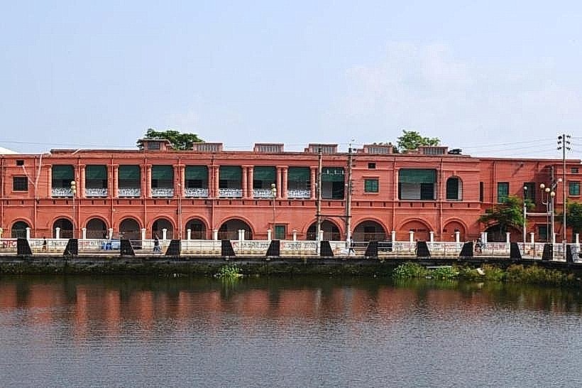
- Barishal Sadar Upazila Complex (15km Northwest)
- Sher-e-Bangla AK Fazlul Huq Memorial Museum (18km Northwest)
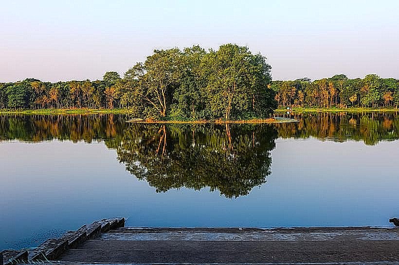
- Durgasagar Lake (25km Southwest)
- Chandramohan Park (16km Northwest)