Information
Landmark: Kuakata BeachCity: Barishal
Country: Bangladesh
Continent: Asia
Kuakata Beach, Barishal, Bangladesh, Asia
Kuakata Beach is a sandy expanse located in the Patuakhali District of Bangladesh, bordering the Bay of Bengal.
Visual Characteristics
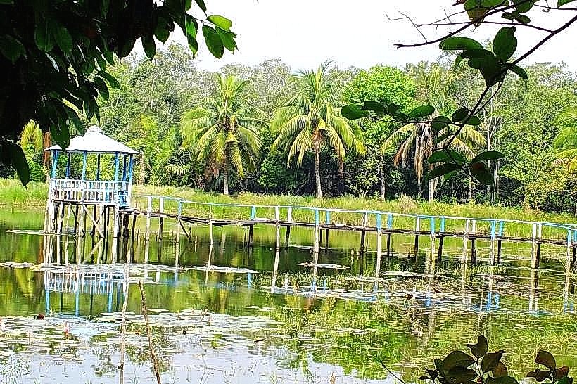
The beach stretches approximately 18 kilometers in length. The sand is fine-grained and light brown. The water of the Bay of Bengal is typically a muted blue-green. Vegetation, primarily mangrove forests and palm trees, borders the western and eastern ends of the beach.
Location & Access Logistics
Kuakata Beach is situated approximately 320 kilometers south of Dhaka. Access from Barishal city involves a ferry crossing of the River Tetulia, followed by a bus or car journey on local roads, primarily National Highway 1 and then regional roads towards Kuakata. The total travel time from Barishal can range from 6 to 8 hours. Parking is available at designated areas near the main tourist access points, with fees typically applied. Public transport options include direct bus services from major cities like Dhaka and Barishal to Kuakata town, from where local rickshaws or auto-rickshaws provide transport to the beach itself.
Historical & Ecological Origin
Kuakata Beach is a natural formation, part of the deltaic coastline of Bangladesh. Its ecological significance lies in its role as a coastal ecosystem, supporting various marine and avian life. The name "Kuakata" is derived from a Rakhine community legend about a princess who dug a well (kua) here, hence "Kuakata."
Key Highlights & Activities
Sunrise and sunset viewing are primary activities due to the beach's orientation. Swimming is possible in designated areas. Boat trips to nearby islands like Gangamati Char are available. Walking the length of the beach is a common activity. Photography of the coastal landscape is also popular.
Infrastructure & Amenities
Restrooms are available at various points along the main beach access. Shade is provided by natural vegetation and some temporary structures. Cell phone signal (4G) is generally available. Food vendors and small restaurants are located in the immediate vicinity of the beach access points, offering local seafood and snacks.
Best Time to Visit
The best time for weather is between October and March, avoiding the monsoon season. For photography, early morning (sunrise) and late afternoon (sunset) offer optimal lighting conditions. There are no specific tide requirements for general beach access, but low tide can expose a wider sandy area.
Facts & Legends
A local legend states that the beach was named after a Rakhine princess who dug a well here for freshwater. The beach is one of the few places in Bangladesh where both sunrise and sunset can be observed over the water.
Nearby Landmarks
- 0.8km West: Kuakata Buddhist Temple
- 2.5km East: Gangamati Char (Island)
- 4.0km North: Jhaudanga Village
- 4.5km Northwest: Fatrar Char (Island)