Information
Landmark: Biokovo Nature ParkCity: Makarska
Country: Croatia
Continent: Europe
Biokovo Nature Park, Makarska, Croatia, Europe
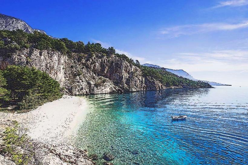
Biokovo Nature Park is a protected mountainous region situated directly above the Makarska-riviera_makarska" class="underline">Makarska Riviera. It encompasses the Biokovo mountain range, a massive karst formation that is part of the Dinaric Alps, separating the Adriatic coast from the Dalmatian hinterland.
Visual Characteristics
The park is defined by a stark, high-altitude landscape of white limestone peaks, deep sinkholes, and caves. The vegetation transitions from Mediterranean shrubs and Aleppo pines at the base to beech and black pine forests at higher elevations. The most distinctive visual element is the sheer vertical drop of the cliffs toward the sea, providing an aerial perspective of the central Dalmatian islands (Brač, Hvar, Korčula, and Vis).
Location & Access Logistics
The main entrance is located at the 6th kilometer of the Makarska–Vrgorac state road (D512).
Access: The park is primarily traversed via the Biokovo Road, the highest paved road in Croatia. It is narrow, features numerous hairpin turns, and operates with a one-way-at-a-time traffic regulation in specific sections.
Vehicle Restrictions: Entrance is limited by an hourly quota for cars and motorcycles. Buses are prohibited; only small shuttle vans are permitted.
Tickets: Must be purchased online in advance due to the daily visitor capacity limit.
Historical & Ecological Origin
The park was established in 1981 to protect its unique geomorphology and biodiversity. It contains over 1,500 plant species, including the endemic Biokovo bellflower (Edraianthus pumilio). Geologically, it is a textbook example of karst topography, featuring over 400 registered caves and pits, some of which contain permanent ice.
Key Highlights & Activities
Skywalk Biokovo: A horseshoe-shaped glass walkway protruding 12 meters over the cliff edge at an altitude of 1,228 meters (Ravna Vlaška viewpoint).
Sveti Jure: The highest peak at 1,762 meters, accessible by road or hiking trails, offering views as far as Italy on exceptionally clear days.
Hiking: A network of over 40 marked trails. The most popular include the ascent from Makarska to Vošac (1,422m).
Kotišina Botanical Garden: Located at the foot of the mountain (0.4km from the village of Kotišina), featuring indigenous mountain flora and the remains of a 17th-century fortification.
Infrastructure & Amenities
Road Safety: The Biokovo Road is 23km long and extremely narrow; drivers must be experienced in mountain navigation.
Facilities: A small info center and basic restrooms are located at the main entrance and the Skywalk. There is no running water or gas stations within the park.
Connectivity: 5G/4G coverage is intermittent and often drops to zero in deep karst depressions.
Best Time to Visit
Photography: Sunrise or sunset at the Skywalk provides the most dramatic lighting for the coastline and islands.
Conditions: May, June, and September offer the best visibility and manageable temperatures. In July and August, the mountain can be significantly hotter than the coast despite the altitude.
Winter: The park road is frequently closed from November to April due to snow and ice.
Facts & Legends
A climatic oddity is the Bura, a powerful wind that can reach 200 km/h as it crests the mountain, creating "cloud waterfalls" over the peaks. Local legend speaks of the "Biokovo Vilas" (fairies) who dwell in the deepest pits and guard the mountain's secrets. A verified historical fact is the "Ice Caves," which were used by locals for centuries to harvest ice blocks, which were then transported by donkeys to hotels in Makarska before the invention of refrigeration.
Nearby Landmarks
Skywalk Biokovo – Located at the 13th km of the Biokovo Road.
Sveti Jure Peak – Located at the 23rd km of the Biokovo Road.
Kotišina Botanical Garden – 3km East of Makarska center.
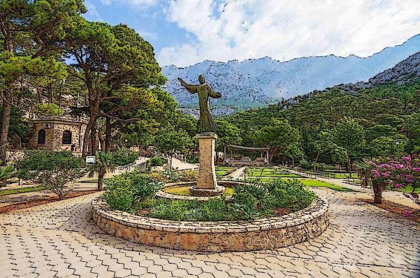
Vepric Shrine – 2km Northwest of Makarska (at the base).
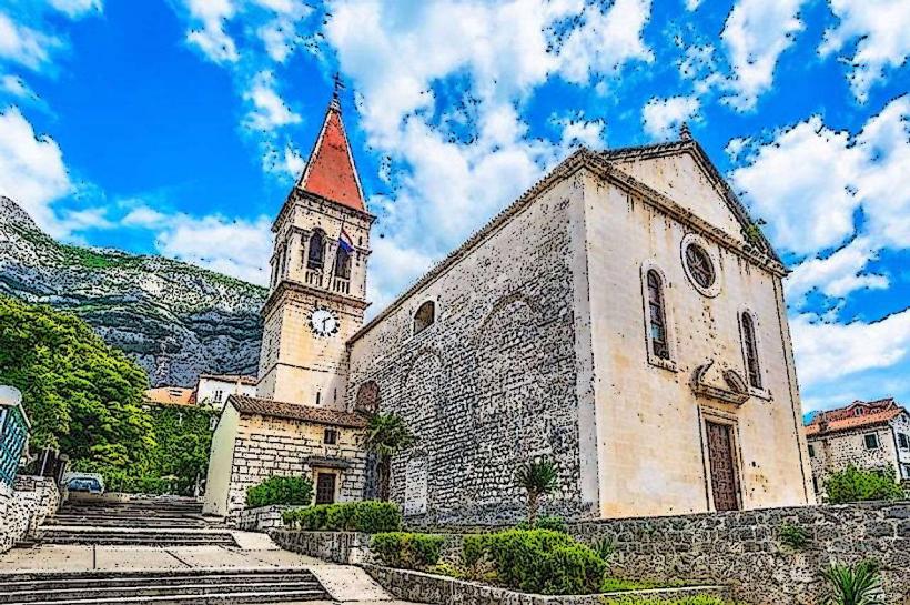
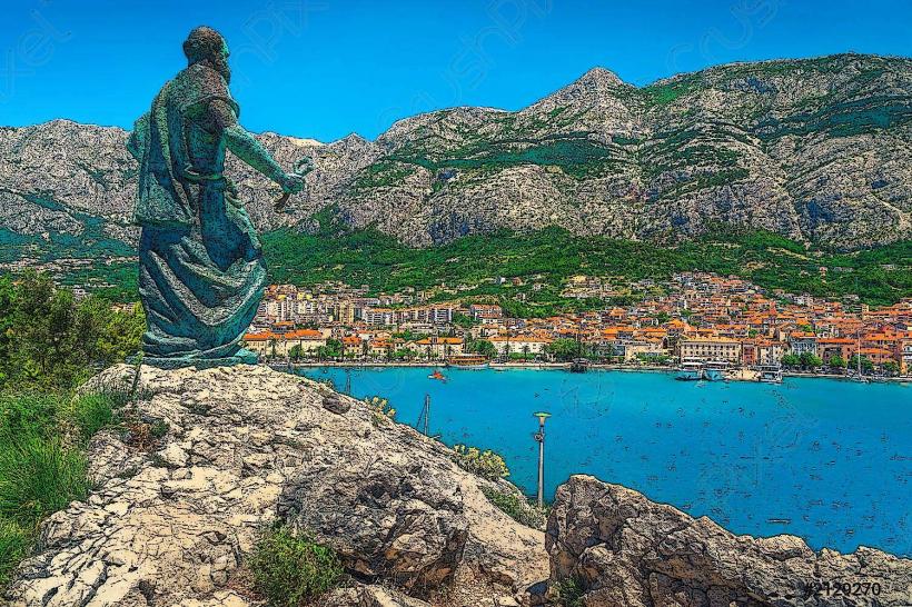
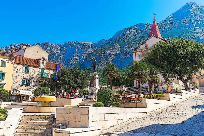
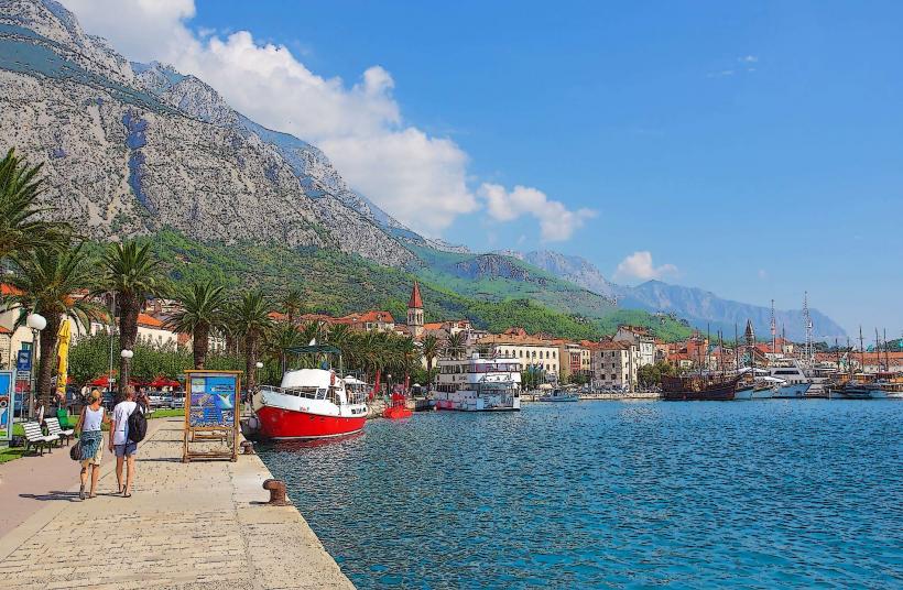
Makarska Old Town – 6km West of the main park entrance.