Information
Landmark: Makarska RivieraCity: Makarska
Country: Croatia
Continent: Europe
Makarska Riviera, Makarska, Croatia, Europe
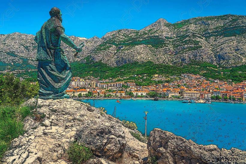
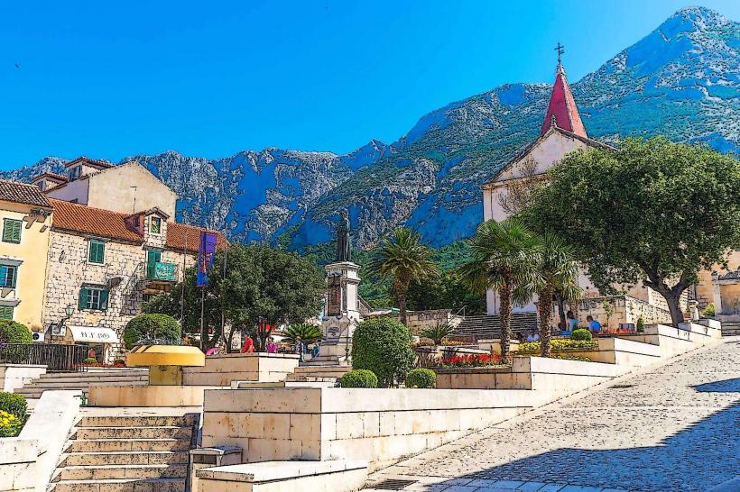
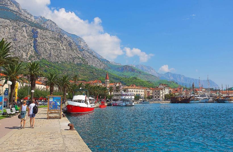
The Makarska Riviera is a 60-kilometer stretch of the Adriatic coastline in central Dalmatia. It is defined by a narrow coastal strip situated between the Biokovo mountain range and the sea, extending from Brela in the northwest to Gradac in the southeast.
Visual Characteristics
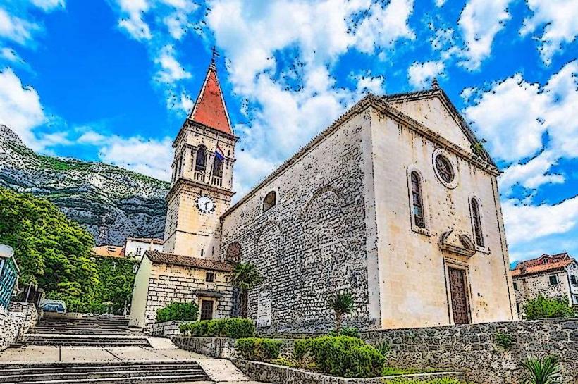
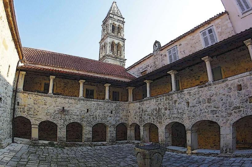
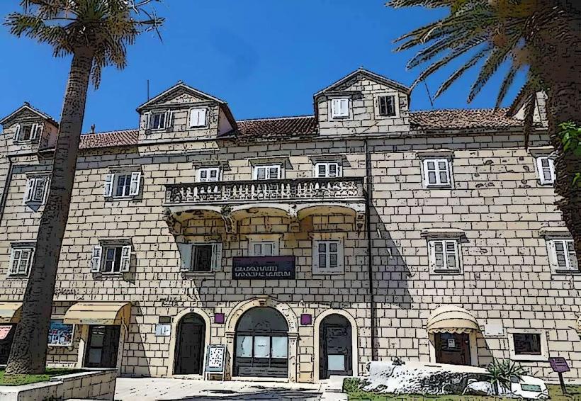
The landscape is characterized by a stark contrast between the towering, gray limestone peaks of Mount Biokovo (rising to 1,762 meters) and the turquoise waters of the Adriatic. The shoreline consists primarily of white pebble beaches bordered by dense Aleppo pine forests. The urban areas are a mix of Mediterranean stone architecture in old village cores and modern multi-story tourist infrastructure concentrated along the waterfronts.
Location & Access Logistics
Makarska is the central hub of the Riviera, located approximately 60km southeast of Split and 150km northwest of Dubrovnik.
Road: The Jadranska Magistrala (D8) highway runs the entire length of the Riviera. The A1 motorway (Zagreb–Dubrovnik) is accessed via the Sveti Ilija tunnel.
Public Transport: Frequent intercity bus lines connect all Riviera settlements with Split, Dubrovnik, and Mostar.
Maritime: A ferry line connects Makarska to Sumartin (Island of Brač), and Drvenik connects to Sućuraj (Island of Hvar).
Parking: Heavily restricted in summer. Paid parking lots are located at the Makarska central waterfront and near the primary beaches in Brela and Baška Voda.
Historical & Ecological Origin
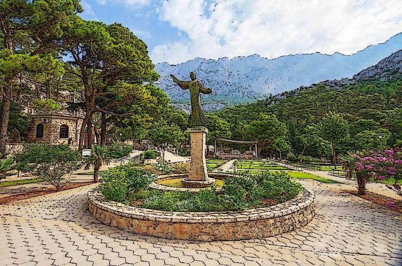
The region has been inhabited since antiquity, with significant Roman and Illyrian remains. During the Middle Ages, it was a stronghold for the Neretvan pirates. The modern tourism industry began in the early 20th century, accelerated by the construction of the Adriatic Highway in the 1960s. Ecologically, the area is dominated by the Biokovo Nature Park, a karst landscape with high endemic biodiversity and specific microclimates created by the mountain barrier.
Key Highlights & Activities
Beaches: Punta Rata in Brela is frequently cited as one of the world's top pebble beaches.
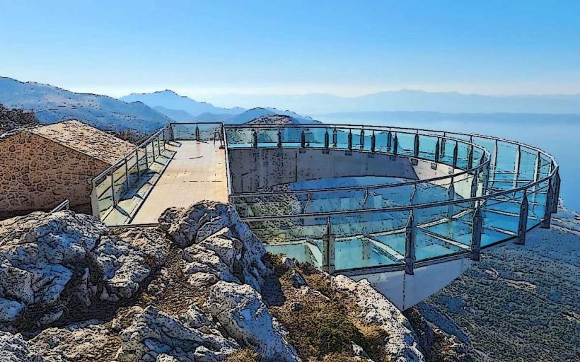
Hiking: Numerous marked trails lead from the coast into the Biokovo mountains, including the Skywalk Biokovo glass lookout.
Water Sports: The deep, clear waters are utilized for scuba diving, parasailing, and jet-skiing.
Nightlife: Makarska city serves as the primary entertainment hub, featuring clubs built into natural seaside caves.
Infrastructure & Amenities
The Riviera is a highly developed tourism zone. It contains a high density of hotels, private apartments, supermarkets, and pharmacies. 5G cellular coverage is excellent along the coast but drops significantly upon entering the Biokovo mountain interior. Public restrooms and showers are available at most major blue-flag beaches.
Best Time to Visit
Swimming: July and August offer the highest water temperatures, though crowd density is at its peak.
Active Tourism: May, June, and September provide manageable temperatures for hiking Biokovo.
Photography: Early morning offers the clearest views of the islands across the Brac Channel before the midday haze develops.
Facts & Legends
A geographical oddity is the "Bura" wind, a cold, dry northeasterly wind that can reach hurricane speeds as it tumbles down the Biokovo cliffs toward the sea. Local legend claims the mountain is inhabited by the "Vila" (mountain nymphs) who protect the hidden water springs within the karst caves.
Nearby Landmarks
Biokovo Skywalk – 15km East (via mountain road)
Vepric Shrine – 2km Northwest of Makarska
Kotišina Botanical Garden – 3km East
Punta Rata Beach – 12km Northwest
Blue and Red Lakes (Imotski) – 40km Northeast