Information
Landmark: Boardman River TrailCity: Traverse City
Country: USA Michigan
Continent: North America
Boardman River Trail, Traverse City, USA Michigan, North America
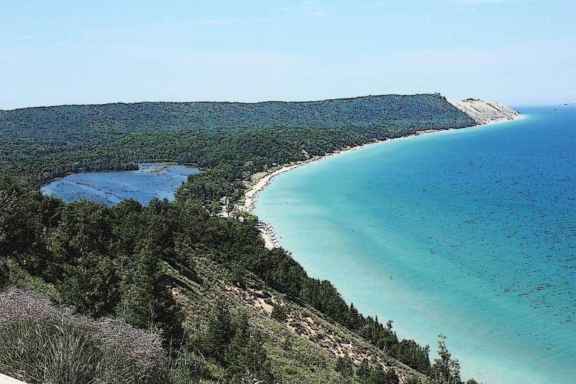
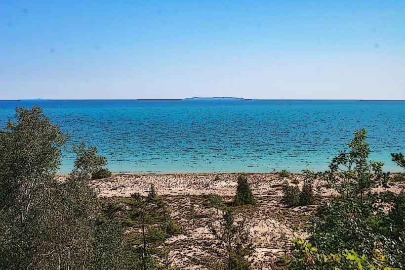
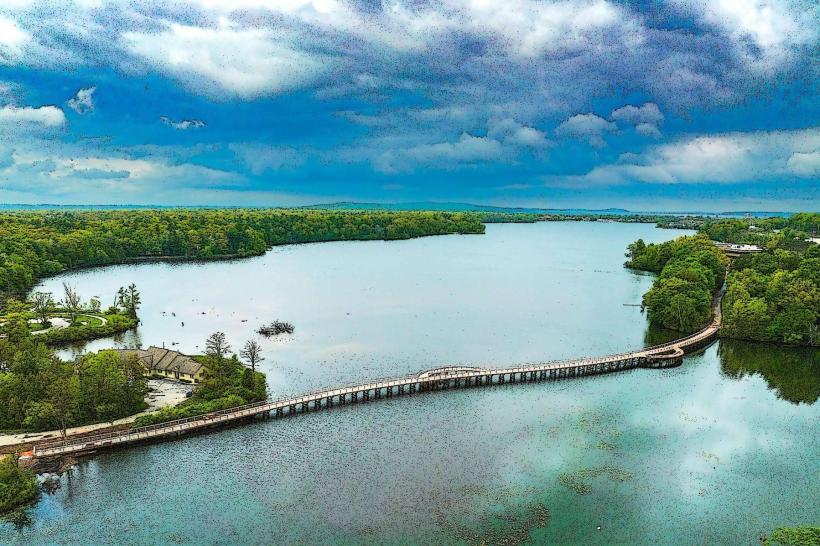
The Boardman River Trail is a multi-use recreational path located in Traverse City, Michigan. It follows the course of the Boardman River through urban and natural landscapes.
Visual Characteristics
The trail surface varies, consisting of paved asphalt in developed areas and crushed limestone or packed dirt in more natural sections. The river itself is typically clear with a sandy or gravelly bottom. Surrounding vegetation includes deciduous trees, grasses, and some riparian shrubs. The trail's width ranges from 8 to 12 feet.
Location & Access Logistics
The Boardman River Trail extends approximately 5 miles within Traverse City. Access points are numerous. The main trailhead is located at the corner of South Union Street and East Front Street, 0.5km East of the city center. Parking is available at designated lots along the trail, including the lot at the Union Street trailhead and the lot near the Grand Traverse Commons. Public transport options include the Traverse City Bay Area Transportation Authority (TCBATA) Route 1, which stops near several access points along Front Street.
Historical & Ecological Origin
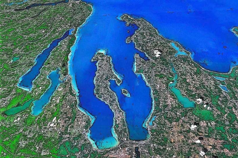
The Boardman River is a natural waterway that has historically supported both human settlement and diverse aquatic ecosystems. Portions of the trail utilize former railway beds, repurposed for recreational use. The river's ecological significance lies in its role as a habitat for various fish species and its contribution to the local watershed.
Key Highlights & Activities
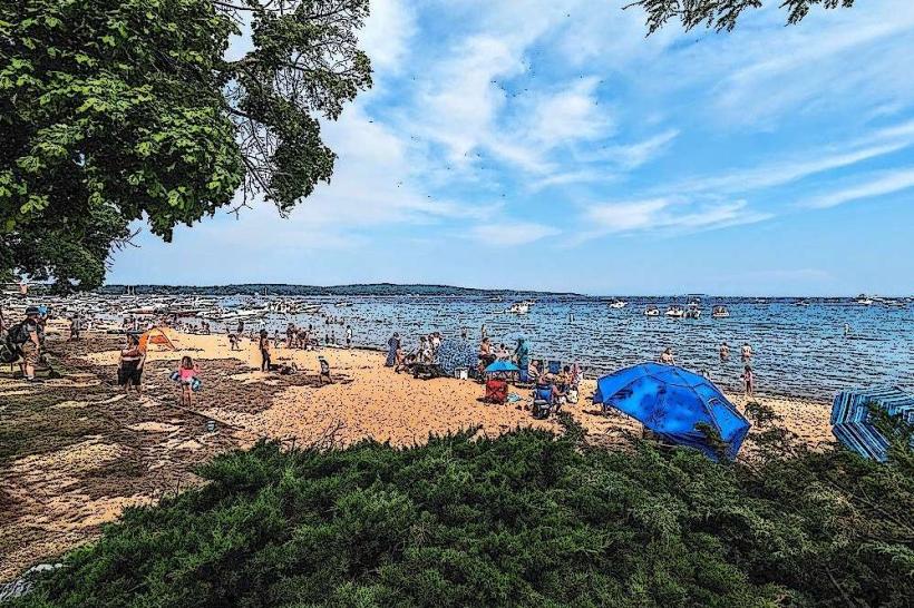
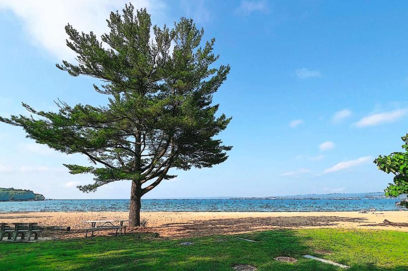
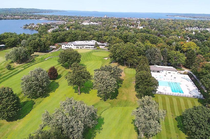
Activities include walking, jogging, cycling, and inline skating. Birdwatching is possible along the riverbanks. Fishing is permitted in designated areas of the Boardman River. The trail connects to the Traverse City State Park and the Grand Traverse Commons, offering extended exploration opportunities.
Infrastructure & Amenities
Restrooms are available at the Union Street trailhead and at the Grand Traverse Commons. Benches are situated at regular intervals along the paved sections. Shade is provided by mature trees in natural areas. Cell phone signal (4G/5G) is generally consistent along the trail within Traverse City limits. Food vendors and restaurants are concentrated near the Front Street access points.
Best Time to Visit
For photography, early morning or late afternoon light offers optimal conditions. The best months for comfortable outdoor activity are May through October. High tide is not a relevant factor for trail use. Winter months can see snow accumulation, making the trail suitable for snowshoeing or cross-country skiing.
Facts & Legends
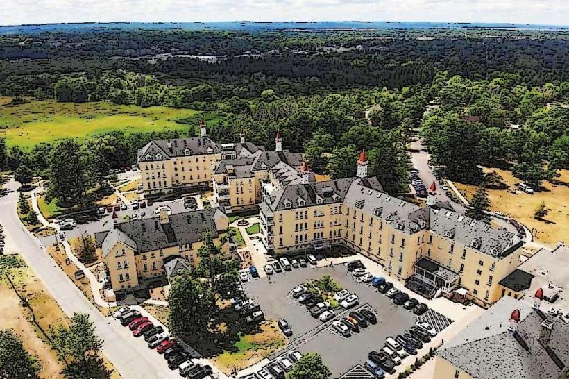
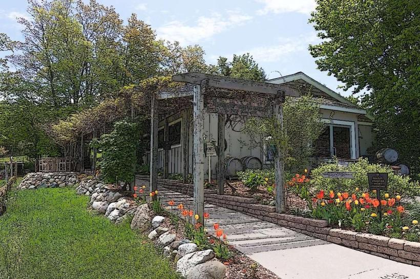
A notable historical feature is the presence of remnants from the former Traverse City State Hospital, now part of the Grand Traverse Commons, which the trail passes near. Local lore sometimes speaks of the river's historical importance to the Anishinaabek people.
Nearby Landmarks
- Grand Traverse Commons (0.2km West)
- Traverse City State Park (1.5km East)
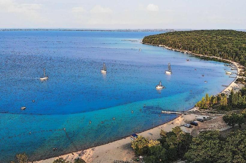
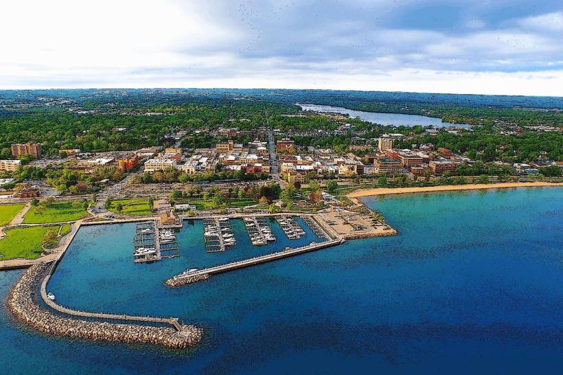
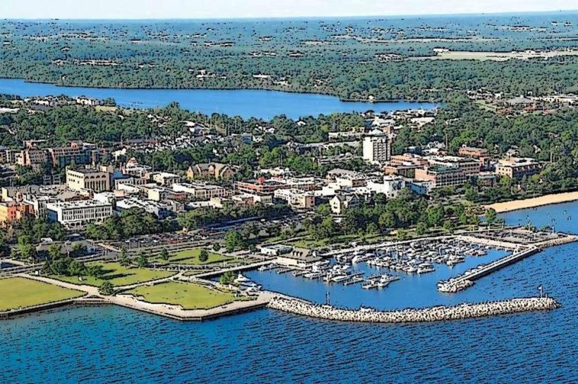
- Clinch Park Marina (0.8km North)
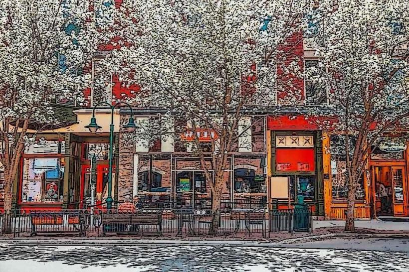
- Old Town Traverse City (1.0km North)
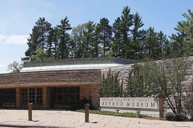
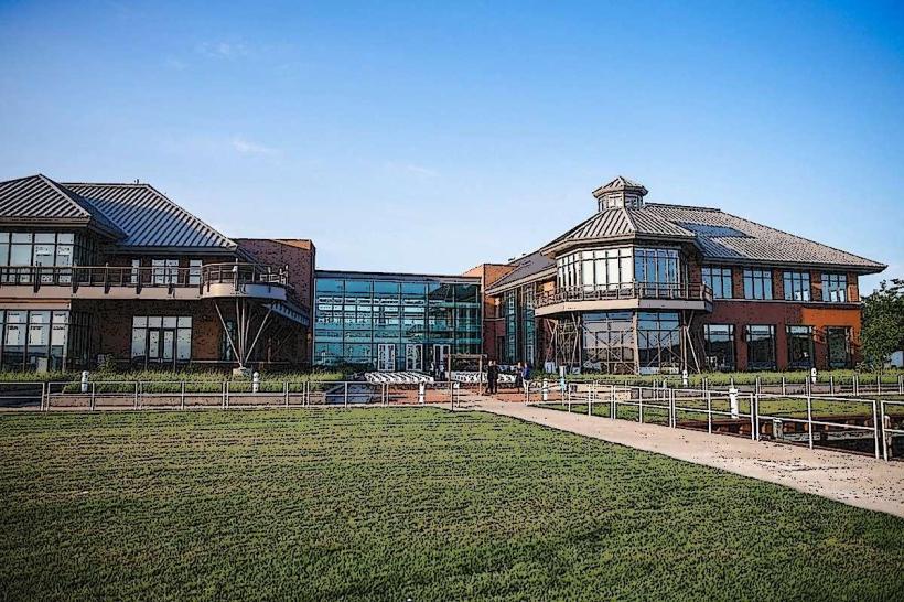
- Dennos Museum Center (1.2km North)