Information
Landmark: Booth Falls TrailCity: Vail
Country: USA Colorado
Continent: North America
Booth Falls Trail, Vail, USA Colorado, North America
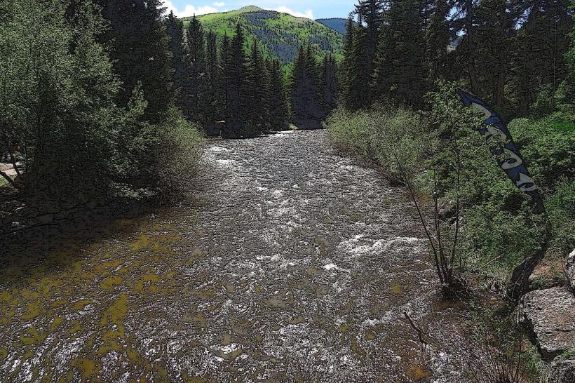
Booth Falls Trail is a hiking route located in Vail, Colorado, USA. It leads to a waterfall within the White River National Forest.
Visual Characteristics
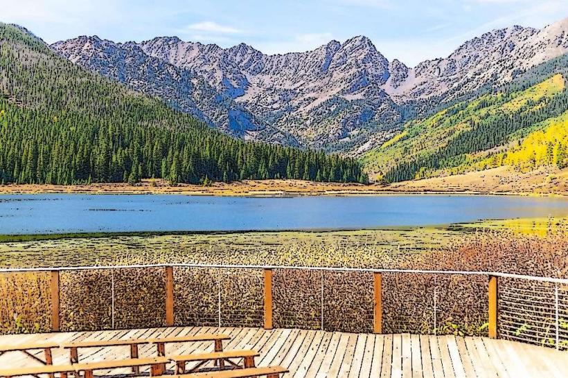
The trail traverses a coniferous forest, primarily composed of Engelmann spruce and subalpine fir. The path itself is a dirt track, varying in width from 0.5 to 1.5 meters. Rock outcroppings are present along sections of the route. The waterfall, Booth Falls, is a cascade over granite rock faces, with water flow volume dependent on seasonal snowmelt. The surrounding terrain is mountainous, with elevations reaching approximately 9,000 feet (2,743 meters) at the trailhead.
Location & Access Logistics
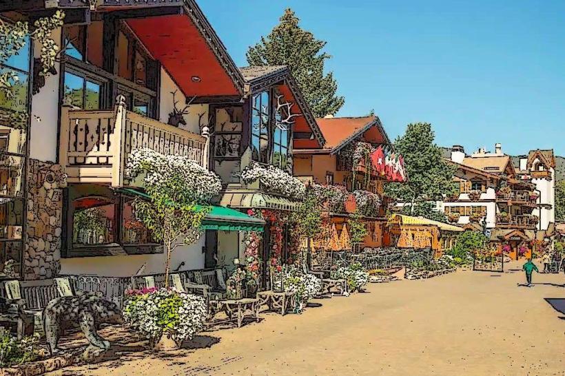
The trailhead is situated at the end of Booth Creek Road, approximately 3 miles (4.8 km) east of Vail Village. Access is via Vail's free in-town bus system, specifically the eastbound route to the Booth Creek stop. From the bus stop, it is a 0.2-mile (0.3 km) walk to the trailhead. Parking is available at the trailhead, with approximately 20 designated spots. During peak season, overflow parking may be available at the Vail Nordic Center, requiring an additional 0.5-mile (0.8 km) walk to the trailhead.
Historical & Ecological Origin
Booth Falls Trail is located within the White River National Forest, established in 1905. The trail follows the Booth Creek drainage, a natural watercourse. The geological formations are characteristic of the Rocky Mountains, primarily composed of Precambrian metamorphic and igneous rocks. The ecological zone is subalpine forest, supporting a specific range of flora and fauna adapted to high altitudes and cold climates.
Key Highlights & Activities
Hiking to Booth Falls is the primary activity. The trail is rated as moderate difficulty. The round trip distance to the falls is approximately 4 miles (6.4 km). Observation points are available at the base of the waterfall. Photography is permitted. No swimming is advised due to cold water temperatures and strong currents.
Infrastructure & Amenities
Restrooms are available at the trailhead. There are no designated shade structures along the trail itself, though the forest canopy provides natural shade. Cell phone signal is intermittent to non-existent along most of the trail. No food vendors are present at the trailhead or along the trail. A picnic table is located at the trailhead.
Best Time to Visit
The best months for hiking are typically June through October, after the spring snowmelt has receded. For optimal waterfall flow, late May and June are recommended. Mid-morning offers good lighting for photography as the sun rises higher in the sky. The trail can be icy and snow-covered in early spring and late fall.
Facts & Legends
Booth Creek is named after a prospector named Booth who is said to have prospected in the area in the late 19th century. Local lore suggests he discovered a small gold vein, though no significant mining operations were ever established.
Nearby Landmarks
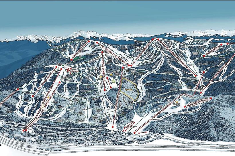
- Vail Village (3.5km West)
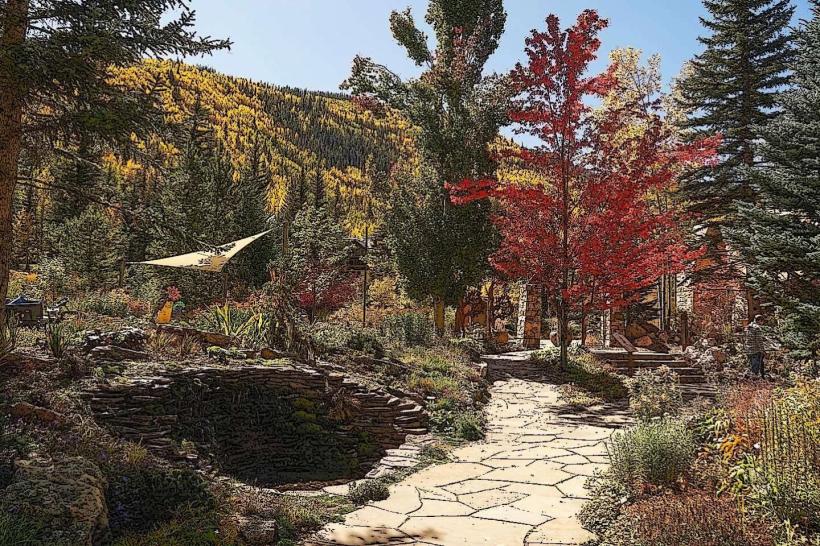
- Betty Ford Alpine Gardens (3.0km West)
- Gore Creek (adjacent to trailhead)
- Vail Nordic Center (0.5km West)