Information
Landmark: Shrine Mountain TrailCity: Vail
Country: USA Colorado
Continent: North America
Shrine Mountain Trail, Vail, USA Colorado, North America
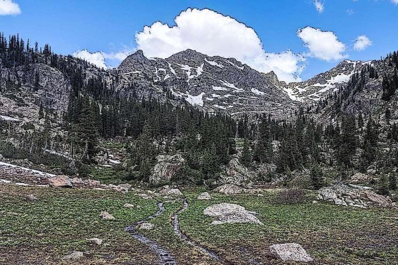
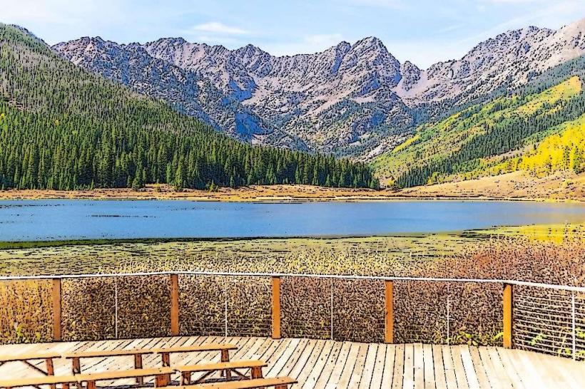
Shrine Mountain Trail is a hiking route located in the White River National Forest, near Vail, Colorado. It provides access to a high-alpine environment and historical structures.
Visual Characteristics
The trail traverses subalpine forest transitioning to alpine tundra. Expect open meadows with wildflowers during summer months. The summit area features rocky terrain and the remnants of stone structures. Elevation gain is approximately 1,500 feet over 3.5 miles.
Location & Access Logistics
The trailhead is situated off Shrine Ridge Road, accessible from Vail via US Highway 6 East for approximately 8 miles, then turning onto Shrine Ridge Road. The road is unpaved and can be rough; high-clearance vehicles are recommended. Parking is available at the trailhead, which can fill quickly during peak season. No public transport directly serves the trailhead.
Historical & Ecological Origin
The trail leads to the Shrine of the Pines, a small stone structure built in the 1930s by the Civilian Conservation Corps as a memorial. The surrounding ecosystem is alpine tundra, characterized by low-growing vegetation adapted to harsh conditions, including strong winds and short growing seasons.
Key Highlights & Activities
Hiking the main trail to the Shrine of the Pines is the primary activity. Observation of alpine flora and fauna is possible. Photography of the landscape is a common pursuit. The trail is also used for snowshoeing and cross-country skiing in winter.
Infrastructure & Amenities
Restrooms are not available at the trailhead or along the trail. There is no designated shade on the trail itself. Cell phone signal is intermittent to non-existent. No food vendors are present at the trailhead; visitors should carry all necessary supplies.
Best Time to Visit
The trail is typically snow-free from late June through September. For wildflower viewing, late July and August are optimal. Mid-morning offers good lighting for photography before the sun becomes directly overhead. High winds are common in the afternoon.
Facts & Legends
The Shrine of the Pines was constructed as a quiet place for reflection. Local lore suggests that the area was a favored spot for contemplation by early settlers and forest rangers. The stone structure itself is simple, designed to blend with the natural surroundings.
Nearby Landmarks
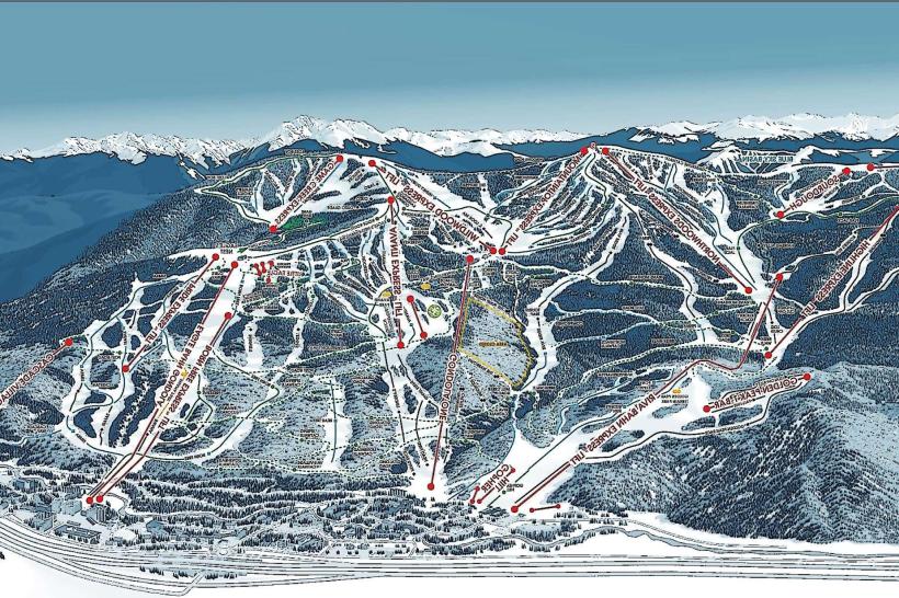
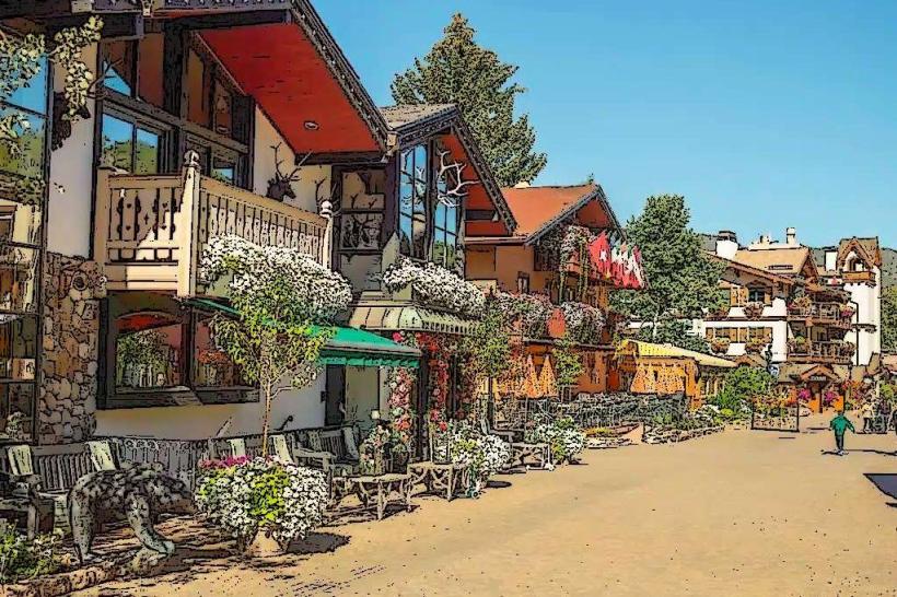
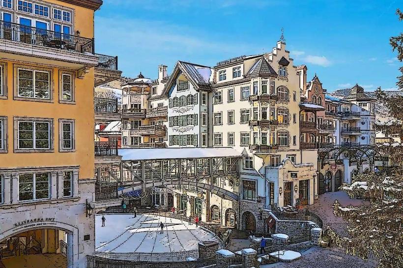
- Vail Ski Resort (8km West)
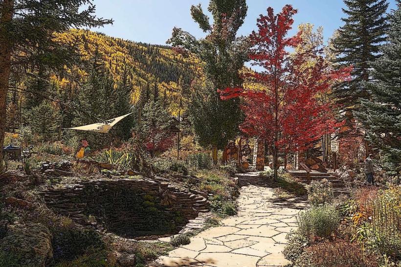
- Betty Ford Alpine Gardens (8km West)
- Eagle Vail Golf Club (10km West)
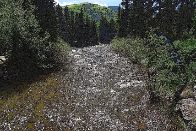
- Gore Creek (adjacent to US Highway 6)