Information
Landmark: Cabrits National ParkCity: Roseau
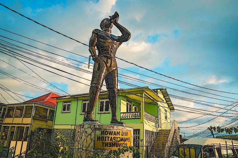
Country: Dominica
Continent: North America
Cabrits National Park, Roseau, Dominica, North America
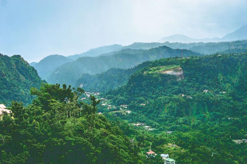
Cabrits National Park is a protected area located on the northwestern peninsula of Dominica, near the town of Portsmouth.
This park encompasses a volcanic island connected to the mainland by a narrow isthmus, featuring a diverse range of ecosystems.
Visual Characteristics
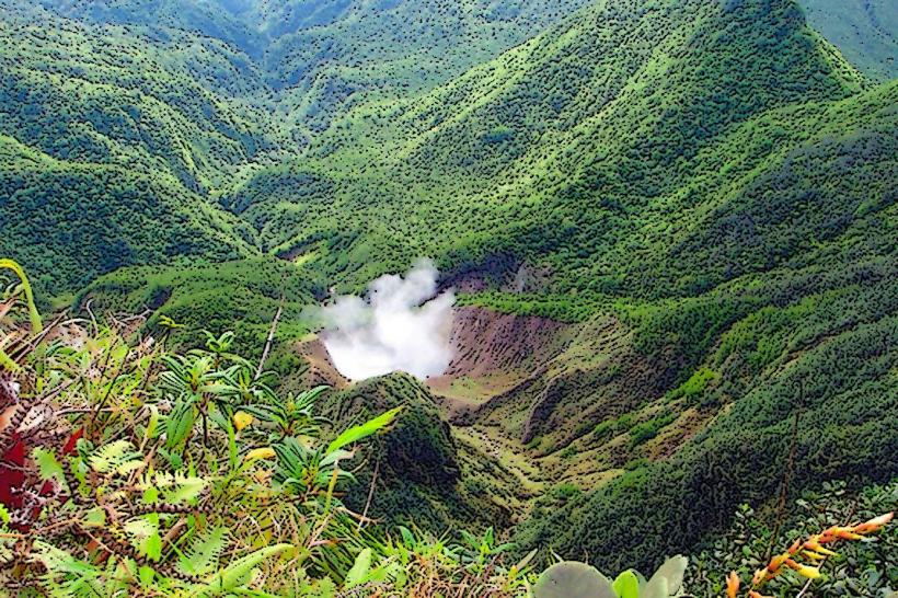
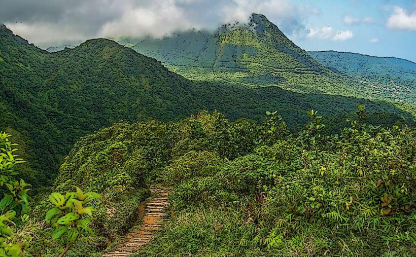
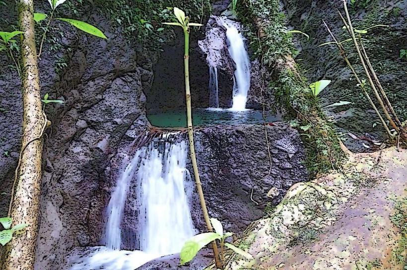
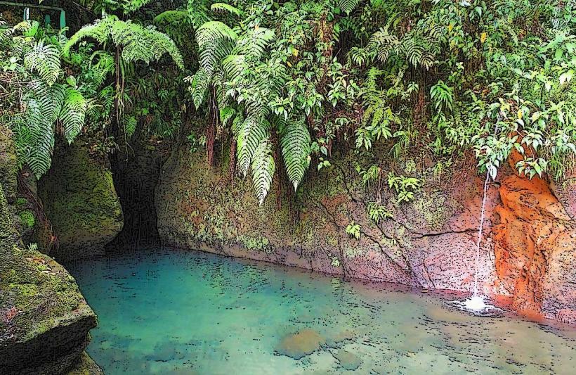
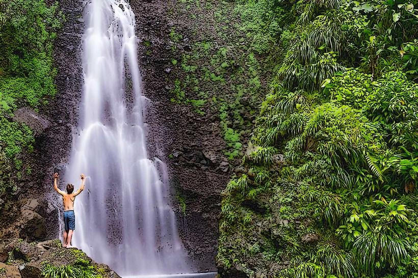
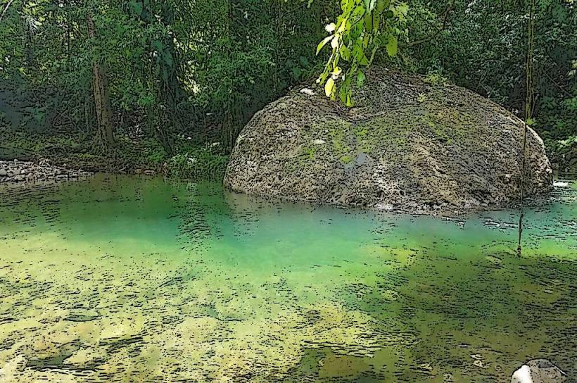
The park's landscape includes a dormant volcanic cone, dense tropical rainforest, and coastal areas with volcanic rock formations. The coastline features black sand beaches and clear, deep blue waters. The vegetation is characterized by a high density of broadleaf evergreen trees, including species like gommier and giant tree ferns. The central feature is the Cabrits volcano, rising to an elevation of 400 meters.
Location & Access Logistics
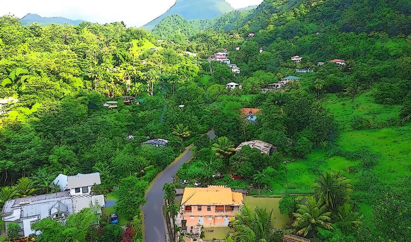
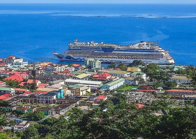
Cabrits National Park is situated approximately 4 kilometers north of Portsmouth. Access is via the Syndicate Road, which branches off from the main coastal road (W.E.B. Du Bois Highway). The park entrance is clearly marked. Parking is available at the main visitor center and at designated points within the park, such as near Fort Shirley. Public transportation options are limited; taxis are the most common method of reaching the park from Portsmouth or Roseau. There are no direct bus routes to the park entrance.
Historical & Ecological Origin
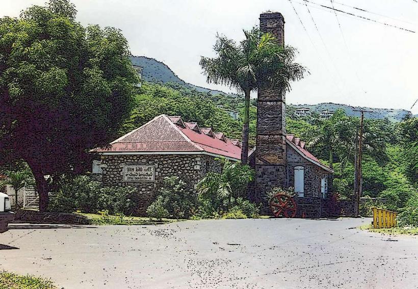
The park's geological origin is volcanic, formed by the eruption of the Cabrits volcano. The area was designated a national park in 1986 to protect its unique biodiversity and historical significance. The most prominent historical structure is Fort Shirley, a British military fortification constructed between 1770 and 1815. Its original purpose was to defend the strategic harbor of Prince Rupert Bay.
Key Highlights & Activities
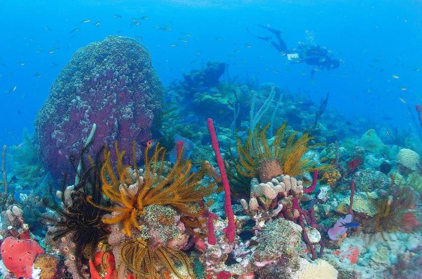
Hiking trails are available, including the Cabrits Swamp Trail (1.5km loop) and the Fort Shirley Trail (2km loop). Snorkeling and diving are possible in the marine areas surrounding the park, particularly near Douglas Bay. Birdwatching is a significant activity, with opportunities to observe species like the Imperial Amazon parrot. Exploration of the ruins of Fort Shirley is a primary focus for visitors.
Infrastructure & Amenities
Restrooms are available at the Fort Shirley visitor center. Shaded areas are present along some trails and at picnic spots. Cell phone signal (4G/5G) is generally available within the park, though it can be intermittent in denser forest areas. Food vendors are not typically found within the park itself, but options exist in nearby Portsmouth.
Best Time to Visit
The best time of day for photography, particularly of Fort Shirley and the surrounding landscape, is in the late afternoon when the light is softer. The dry season, from February to May, offers the most favorable weather conditions with less rainfall. High tide is not a critical factor for access or most activities within the park.
Facts & Legends
A specific historical detail is that Fort Shirley was abandoned by the British in 1854 and subsequently fell into disrepair before its restoration efforts began in the late 20th century. Local lore sometimes speaks of the spirits of former soldiers still guarding the fort.
Nearby Landmarks
- Fort Shirley (within park boundaries)
- Prince Rupert Bay (0.5km West)
- Portsmouth (4km South)
- Indian River (6km South)
- Cabrite Point (1km North)