Information
Landmark: Three RiversCity: Roseau
Country: Dominica
Continent: North America
Three Rivers, Roseau, Dominica, North America
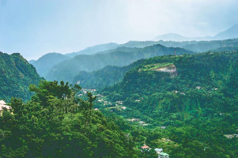
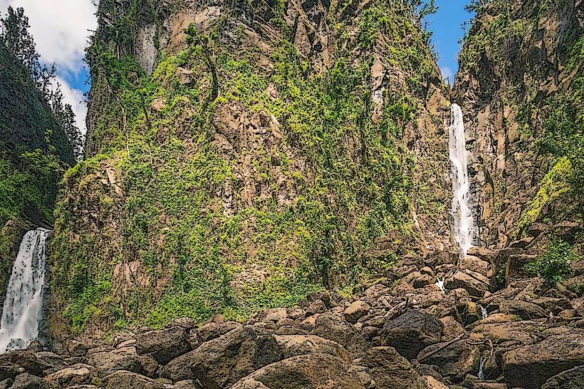
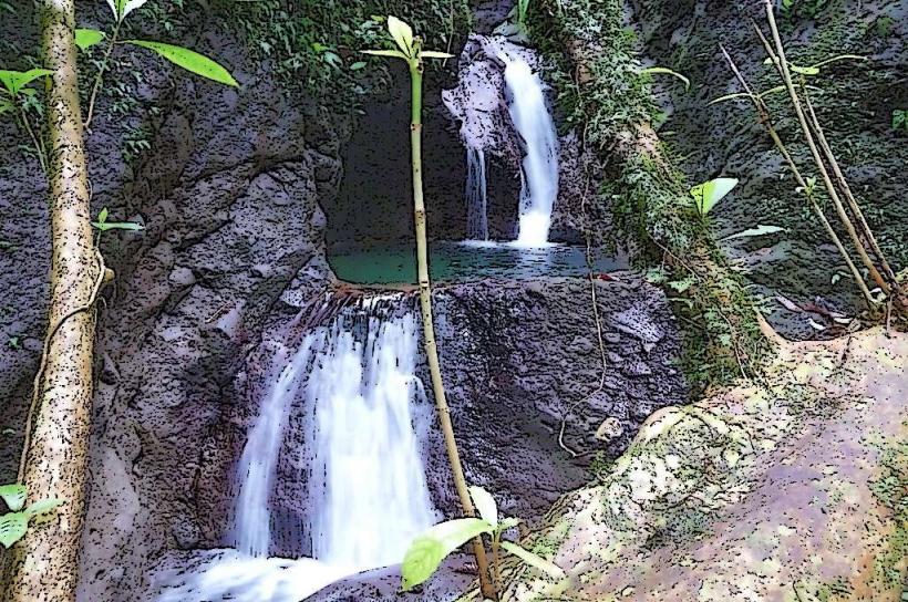
The Three Rivers is a geographical confluence located near Roseau, Dominica. It marks the point where three distinct river systems merge.
Visual Characteristics
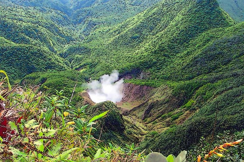
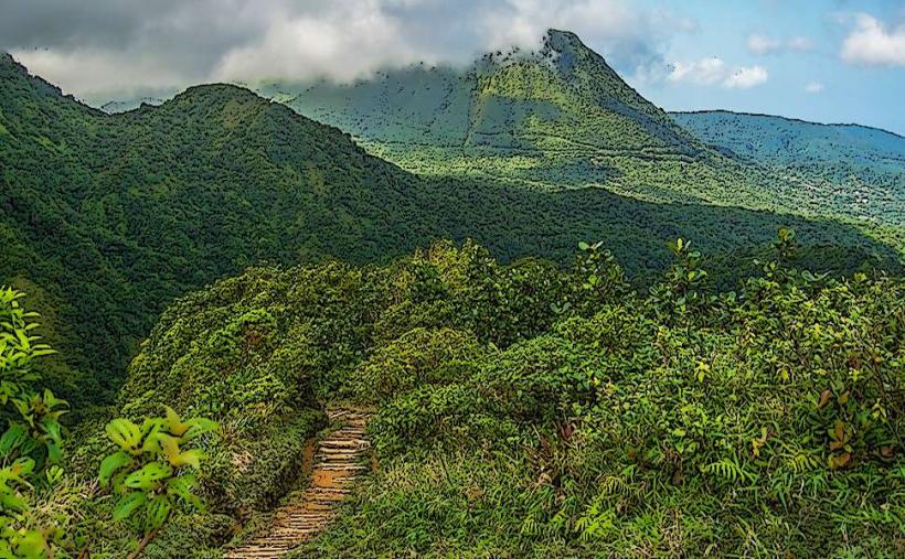
The confluence is characterized by the meeting of three bodies of water, each exhibiting varying sediment loads and water clarity. The surrounding vegetation is dense tropical rainforest, with a canopy height averaging 25 meters. The terrain is uneven, with exposed rock formations and a substrate of alluvial soil.
Location & Access Logistics
The Three Rivers is situated approximately 8 kilometers inland from Roseau, accessible via the Eastern Main Road (Highway 3). Turn off onto the unpaved River Road, which extends for 2 kilometers to a small parking area. Public transport is limited; the nearest bus stop is at the junction of Eastern Main Road and River Road, requiring an additional 2-kilometer walk.
Historical & Ecological Origin
This site is a natural geological formation, representing the erosional processes of three separate river basins converging. The rivers originate in the central mountainous region of Dominica, fed by rainfall and subterranean springs. The ecological classification is a freshwater riverine ecosystem within a tropical rainforest biome.
Key Highlights & Activities
Observation of the water mixing is the primary activity. Hiking along the riverbanks is possible on established, though unmaintained, trails. Birdwatching is feasible due to the dense surrounding forest cover.
Infrastructure & Amenities
There are no dedicated facilities at the Three Rivers site. Restrooms, shade structures, and food vendors are not present. Cell phone signal (4G/5G) is intermittent to non-existent.
Best Time to Visit
The best time for visual observation of the distinct river colors is during the dry season, from January to April, when sediment loads are typically lower. Mid-morning offers consistent lighting conditions for photography. Access can be challenging during the wet season (June to November) due to potential flash flooding and increased river flow.
Facts & Legends
Local folklore suggests that the distinct colors of the three rivers are due to different mineral deposits from their respective mountain sources, though scientific analysis has not confirmed this. A specific tip for visitors is to wear sturdy, waterproof footwear due to the uneven and often muddy terrain.
Nearby Landmarks
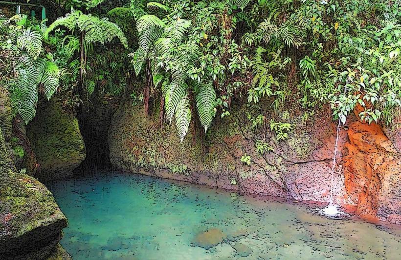
- Emerald Pool (3.2km Southwest)
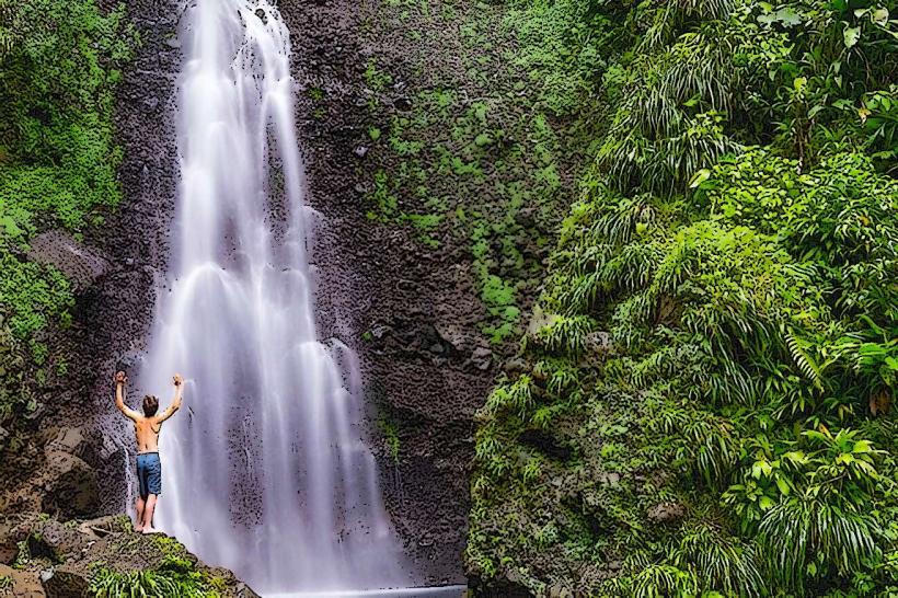
- Trafalgar-falls_roseau" class="underline">Trafalgar Falls (4.1km West)
- Wotton Waven Hot Springs (4.8km Northwest)
- Morne Trois Pitons National Park (5km West)