Information
Landmark: Roseau RiverCity: Roseau
Country: Dominica
Continent: North America
Roseau River, Roseau, Dominica, North America
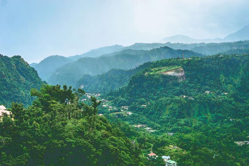
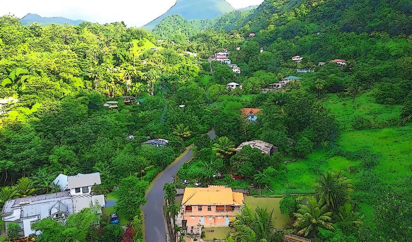
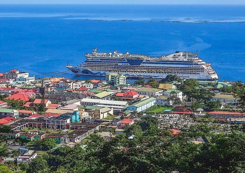
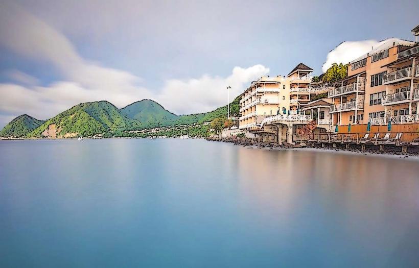
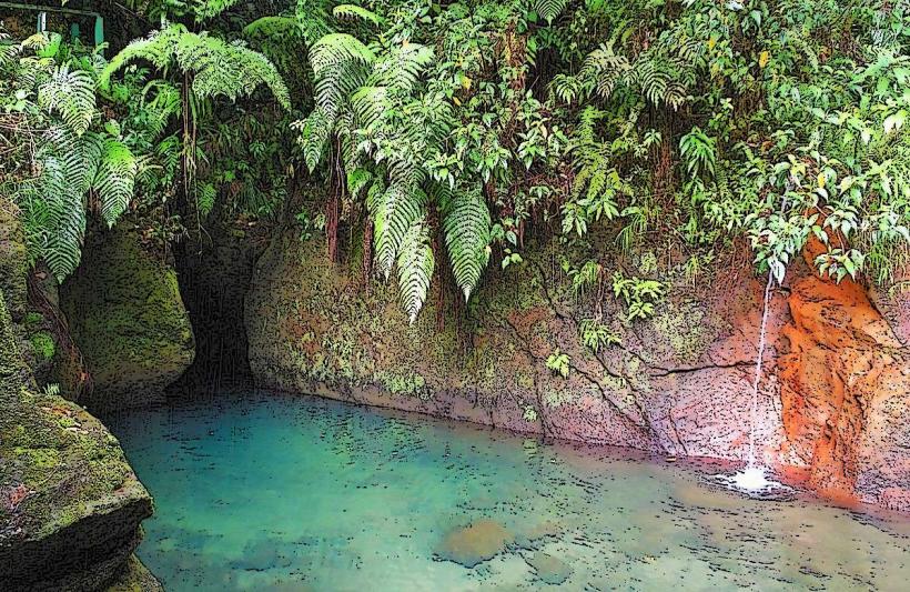
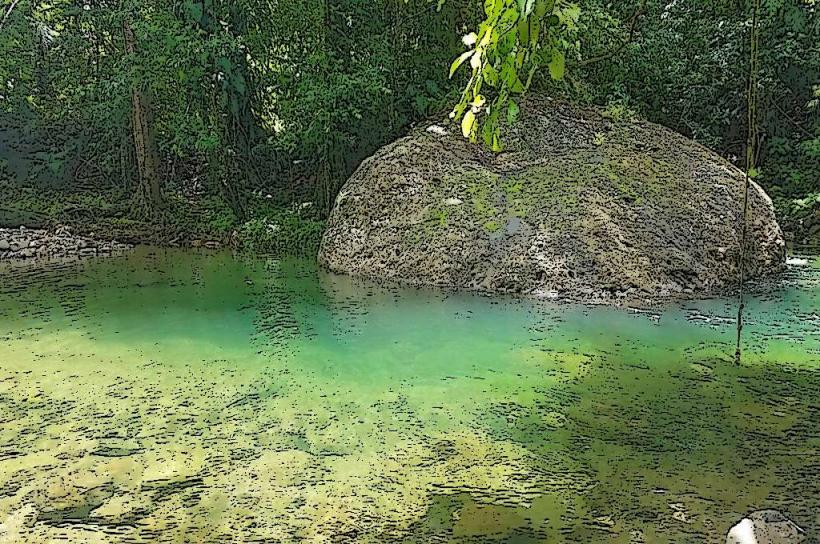
The Roseau River is a significant waterway flowing through the capital city of Roseau, Dominica. It serves as a primary drainage channel and a historical point of reference within the urban landscape.
Visual Characteristics
The river's width varies, averaging 15 meters in the city center, widening to approximately 30 meters before its estuary. Water color is typically brown to grey, influenced by sediment load from upstream runoff. The riverbanks are predominantly concrete embankments within the city, transitioning to natural vegetation further downstream. The riverbed consists of gravel and silt.
Location & Access Logistics
The Roseau River bisects the city of Roseau. Access points are numerous along the waterfront promenade and various city streets. Parking is available in designated city lots, with rates varying by location. Public transport, including local buses, stops frequently within the city center, providing access to areas adjacent to the river.
Historical & Ecological Origin
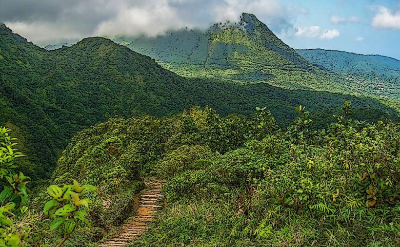
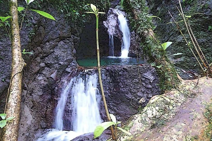
The river's current course and embankments are largely a result of 20th-century urban development and flood control measures. Ecologically, it is a tropical river system originating in the central mountainous rainforests of Dominica, characterized by high rainfall and rapid runoff. Its formation is a product of fluvial erosion over millennia.
Key Highlights & Activities
Observation of urban river dynamics is the primary activity. Limited recreational boating may occur in the estuary. The riverfront promenade offers pedestrian access for viewing the water. Fishing is not a common or recommended activity due to water quality.
Infrastructure & Amenities
Restrooms are available in public parks and commercial establishments along the waterfront. Shade is provided by trees and buildings adjacent to the river. Cell phone signal (4G/5G) is generally strong throughout the city. Food vendors are present along the main city streets and the waterfront.
Best Time to Visit
For photography, early morning or late afternoon offers softer light. The river's water level and sediment content are highest during the rainy season (June to November). The dry season (December to May) generally results in lower water levels and clearer water.
Facts & Legends
Local folklore suggests that during heavy rainfall, the river's flow can increase dramatically, sometimes reaching the height of the lower bridges. A specific historical oddity is the presence of remnants of older, stone-lined channels visible in some sections, indicating earlier attempts at river management.
Nearby Landmarks
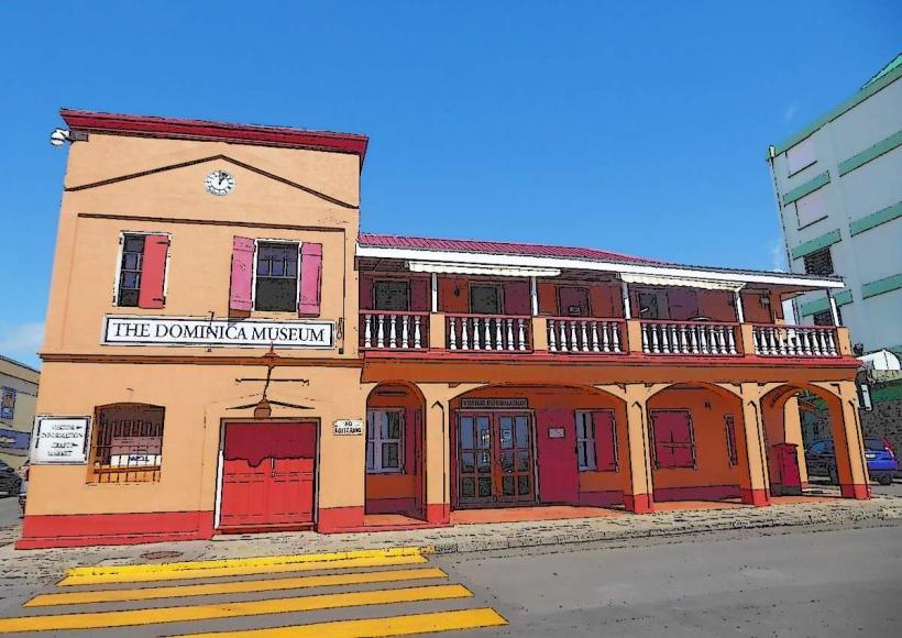
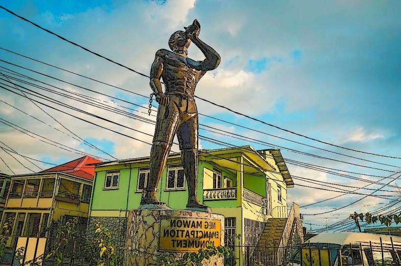
- Dominica Museum (0.2km West)
- Roseau Cathedral (0.4km Northwest)
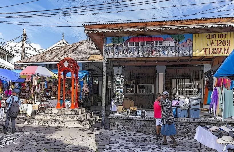
- Old Market Square (0.3km West)
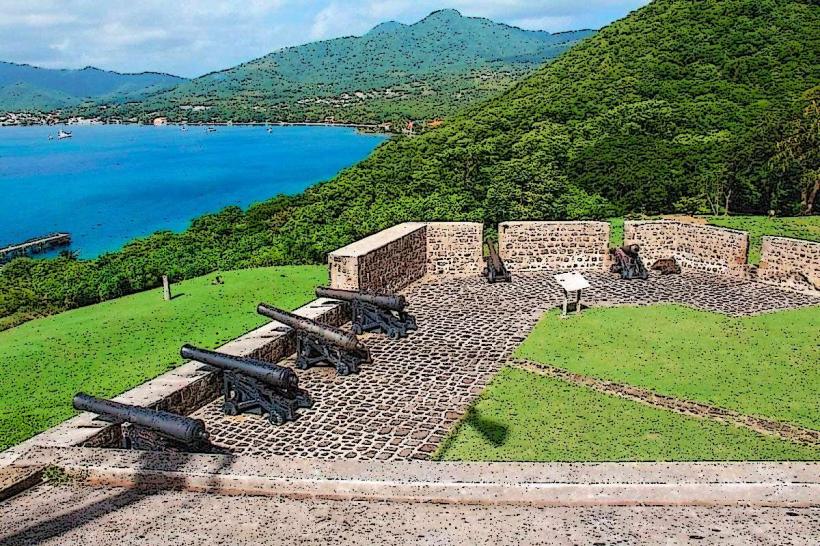
- Fort Young Hotel (0.5km Southwest)
- Botanical Gardens (1.5km North)