Information
Landmark: Cache la Poudre RiverCity: Fort Collins
Country: USA Colorado
Continent: North America
Cache la Poudre River, Fort Collins, USA Colorado, North America
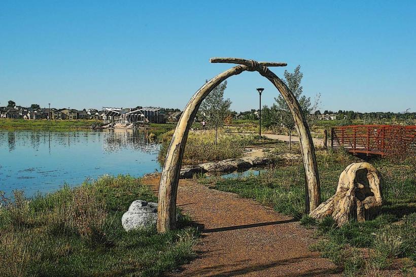
The Cache la Poudre River is a designated National Wild and Scenic River flowing through northern Colorado, originating in the Rocky Mountains and passing near Fort Collins.
It is the only river in Colorado to be designated as a National Wild and Scenic River.
Visual Characteristics
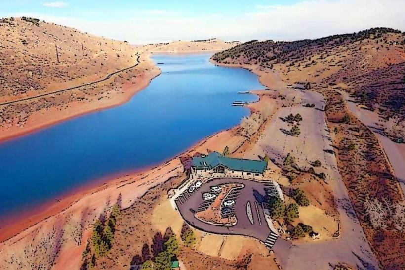
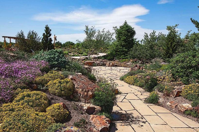
The river's appearance varies significantly with elevation and season. In its upper reaches, it is characterized by granite bedrock, steep canyons, and clear, fast-flowing water. As it descends towards the plains, the river widens, its gradient lessens, and the water carries sediment, giving it a more turbid appearance. Vegetation along its banks ranges from dense coniferous forests in the mountains to riparian cottonwood groves and grasslands on the plains.
Location & Access Logistics
The Cache la Poudre River flows for approximately 126 miles. Access points are numerous. In the mountainous section, State Highway 14 (Poudre Canyon Road) follows the river for about 45 miles west of Fort Collins. This road provides access to trailheads and pull-offs. Within Fort Collins, the Poudre River Trail system offers pedestrian and bicycle access along sections of the river. Public transport options directly to remote canyon access points are limited; however, local bus routes within Fort Collins can reach parks adjacent to the river.
Historical & Ecological Origin
The river's name originates from a French fur trading expedition in the 1830s, where traders allegedly cached (hid) their gunpowder along its banks. Geologically, the river's course was shaped by glacial activity and erosion over millennia. Ecologically, it supports a diverse range of flora and fauna adapted to montane and plains environments, including trout species, various bird populations, and riparian vegetation.
Key Highlights & Activities
Activities include whitewater rafting and kayaking in designated sections of Poudre Canyon (seasonal, typically May-August). Fishing for trout is permitted in many areas. Hiking trails are available along the river, such as the Greyrock Trail and the various access points along the Poudre River Trail. Birdwatching is common along the riparian corridors.
Infrastructure & Amenities
Within Poudre Canyon, amenities are sparse, with limited picnic areas and vault toilets at some trailheads. Cell phone signal is unreliable in much of the canyon. Within Fort Collins, the Poudre River Trail is well-developed with paved paths, restrooms, water fountains, and numerous parks offering shade and seating. Food vendors and restaurants are readily available in Fort Collins adjacent to the river trail system.
Best Time to Visit
For whitewater activities, the optimal period is late spring to mid-summer (May to August) when snowmelt provides sufficient water flow. For hiking and fishing, late spring, summer, and early fall offer pleasant conditions. Photography is best in the early morning or late afternoon for softer light, particularly in the canyon sections.
Facts & Legends
A notable historical event is the 1997 flood, which caused significant damage to the canyon and surrounding areas, highlighting the river's dynamic nature. A local legend speaks of a Native American maiden who drowned in the river while trying to retrieve a sacred artifact, her spirit said to still linger near the water.
Nearby Landmarks
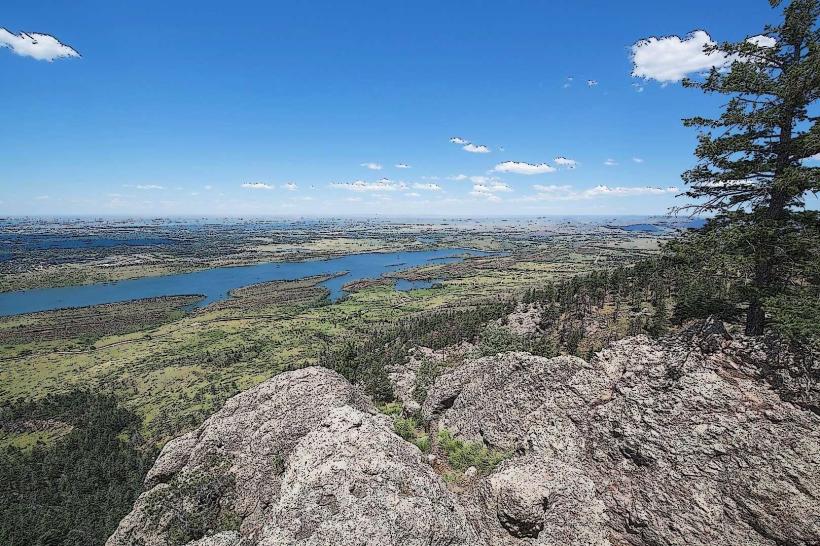
- 0.5km North: Horsetooth Mountain Open Space
- 2.0km West: Lory State Park
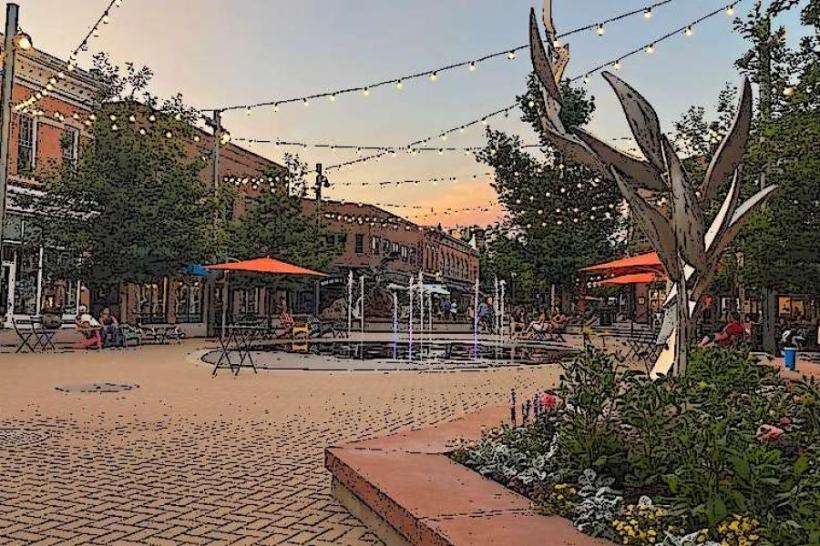
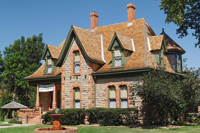
- 15.0km East: Old Town Fort Collins
- 25.0km Southwest: Rocky Mountain National Park (Estes Park entrance)