Information
Landmark: Lory State ParkCity: Fort Collins
Country: USA Colorado
Continent: North America
Lory State Park, Fort Collins, USA Colorado, North America
Lory State Park is a protected natural area situated west of Fort Collins, Colorado. It encompasses approximately 2,591 acres of varied terrain.
Visual Characteristics
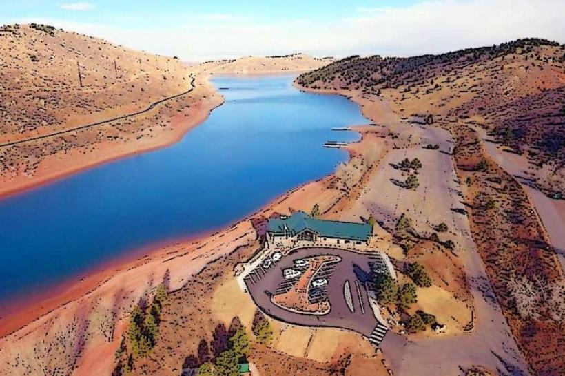
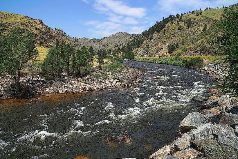
The park features foothills transitioning into higher mountain elevations. Vegetation includes ponderosa pine, Douglas fir, and aspen groves. Rock formations are primarily sandstone and granite. Several reservoirs, including Horsetooth Reservoir, are visible from higher elevations. The terrain is characterized by canyons, ridges, and open meadows.
Location & Access Logistics
Lory State Park is located approximately 10 miles west of downtown Fort Collins. Access is via West County Road 38E, which becomes the park's main entrance road. Parking is available at the main entrance lot and at trailheads throughout the park. There is an entrance fee per vehicle. Public transportation options to the park entrance are limited; the nearest bus route stops several miles from the park.
Historical & Ecological Origin
The land that now constitutes Lory State Park was historically used for ranching and mining. It was established as a state park in 1961. Ecologically, the area represents a transition zone between the Great Plains and the Rocky Mountains, supporting diverse flora and fauna adapted to semi-arid conditions and higher altitudes.
Key Highlights & Activities
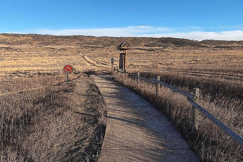
Hiking is a primary activity, with over 20 miles of trails. Popular trails include the Arthur's Rock Trail (summiting Arthur's Rock for panoramic views) and the Timber Ridge Trail. Rock climbing is permitted on designated formations. Birdwatching and wildlife viewing are common. The park also provides access points to Horsetooth Reservoir for boating and fishing, though these are managed by Larimer County.
Infrastructure & Amenities
Restrooms are available at the main entrance and at some trailheads. Shaded picnic areas are located near the entrance. Cell phone signal is intermittent within the park, with better reception near the entrance and on higher elevations. There are no food vendors within the park; visitors should bring their own supplies.
Best Time to Visit
For hiking and general exploration, spring (April-May) and fall (September-October) offer moderate temperatures and fewer crowds. Summer (June-August) can be hot, especially at lower elevations, and thunderstorms are common in the afternoon. Winter (November-March) offers opportunities for snowshoeing and cross-country skiing, but trails may be icy. Arthur's Rock summit is best photographed in the morning for direct sunlight on the eastern approaches.
Facts & Legends
Arthur's Rock, a prominent geological feature within the park, is a large granite dome that was once a popular destination for early settlers. Local lore suggests that the rock formation resembles a seated figure, though this is subjective. A verified historical fact is the presence of remnants from early mining operations scattered throughout the park's backcountry.
Nearby Landmarks
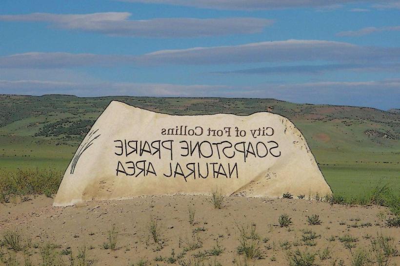
- Horsetooth Mountain Open Space (0.1km West)
- Horsetooth Reservoir (1km East)
- Devil's Backbone Open Space (8km Southeast)
- Poudre River Trail (10km East)
- Colorado State University Campus (11km East)