Information
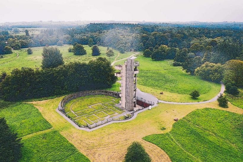
Landmark: Cavan Burren ParkCity: Leitrim
Country: Ireland
Continent: Europe
Cavan Burren Park, Leitrim, Ireland, Europe
Correction: Cavan Burren Park is located in County Cavan, not County Leitrim. It is situated near Blacklion in West Cavan and forms part of the Marble Arch Caves Global Geopark.
Visual and Geological Characteristics
The park is a high-altitude relict landscape ($250$–$300$ meters above sea level) featuring Carboniferous limestone pavement.
Geology: Similar to the Clare Burren but characterized by a higher concentration of glacial erratics-massive sandstone boulders deposited on the limestone by retreating glaciers $13,000$ years ago.
Topography: Features a mix of limestone pavement, deep sinkholes, and sandstone plateaus overlooking the MacNean Valley.
Location & Access Logistics
Address: Blacklion, Co. Cavan, Ireland.
Position: Located off the N16 (Sligo-Enniskillen road), approximately $4$ km from Blacklion village.
Transit: No public transport to the park. Private vehicle is necessary.
Parking: A large, paved public car park is located at the visitor center.
Accessibility: The park is notable for its high accessibility. It features over $10$ km of trails, including several kilometers of multi-access boardwalks and gravel paths suitable for wheelchairs and strollers.
Archaeological Significance
The park contains a high density of prehistoric monuments, spanning from the Neolithic to the early Christian periods.
Giant’s Leap Wedge Tomb: A well-preserved Neolithic burial chamber located at the edge of a deep limestone cleft.
Promontory Fort: A defensive structure situated on a natural limestone cliff edge.
Megalithic Tombs: The park contains several portal tombs and cist burials integrated into the rocky landscape.
Rock Art: Prehistoric cup-and-ring marks are visible on several sandstone surfaces within the park.
Key Trails
The park features four main waymarked trails:
Calf House Loop (Yellow, 1.3 km): Easiest trail, featuring the Calf House dolmen and significant glacial erratics.
Giant’s Leap Loop (Orange, 1.3 km): Focuses on the wedge tomb and the limestone chasm.
Promontory Fort Loop (Blue, 2.9 km): Offers panoramic views of Lough MacNean and Cuilcagh Mountain.
Cavan Burren Trail (Green, 1.6 km): Traverses the core limestone pavement sections.
Infrastructure & Amenities
Visitor Centre: An unstaffed, open-air interpretive center with high-quality digital and physical displays detailing the area's geology and history.
Sanitation: Public restrooms are available at the visitor center hub.
Connectivity: 4G signal is generally stable at the trailhead but can be intermittent in the deeper limestone valleys.
Safety: Visitors are advised to stay on marked paths due to deep grykes and hidden sinkholes in the limestone.
Technical Details
The "Pre-Glacial River" feature in the park demonstrates how water once flowed across the surface before the limestone became perforated by sinkholes. The site is geologically unique because it displays the "Sandstone-Limestone Contact," where two distinct geological eras meet.
Nearby Landmarks
Marble Arch Caves – $6$ km East
Cuilcagh Boardwalk (Stairway to Heaven) – $8$ km East
Shannon Pot (Source of the River Shannon) – $12$ km West
Blacklion Village – $4$ km North