Information
Landmark: Slieve AnierinCity: Leitrim
Country: Ireland
Continent: Europe
Slieve Anierin, Leitrim, Ireland, Europe
Slieve Anierin (Sliabh an Iarainn) is a mountain located on the eastern shore of Lough Allen in County Leitrim. Rising to $585$ meters ($1,919$ ft), it is the primary peak of the Iron Mountains and forms part of the Cuilcagh-Anierin uplands.
Visual and Geological Characteristics
The mountain is composed of layers of Carboniferous sandstone and shale, topped by millstone grit.
Topography: The western face is defined by steep glacial scree slopes and deep gullies (shucks) that drain into Lough Allen.
Iron Deposits: Its name translates to "Mountain of Iron." It contains significant iron ore and coal deposits that were industrially exploited for centuries.
Plateau: The summit consists of a broad, peat-covered plateau with high-altitude blanket bog.
Location & Access Logistics
Address: Near Drumshanbo and Ballinaglera, Co. Leitrim.
Access Points: * Aghacashel: Popular eastern approach via the Sliabh an Iarainn Visitor Centre.
Ballinaglera: Western approach for steeper, direct ascents.
Transit: No public transport serves the mountain base. A private vehicle is required to reach the trailheads.
Parking: Limited parking is available at the Aghacashel community center or the designated starting points for the "Looped Walks."
Accessibility: Not suitable for mobility devices. The terrain is wet, boggy, and lacks paved paths.
Historical & Industrial Significance
Mining: Iron mining was active here from the 17th century until the mid-19th century. Ore from the mountain supplied the ironworks at Drumshanbo and Creevelea.
Coal Mining: Small-scale "bell pit" coal mining continued in the higher strata until the 20th century.
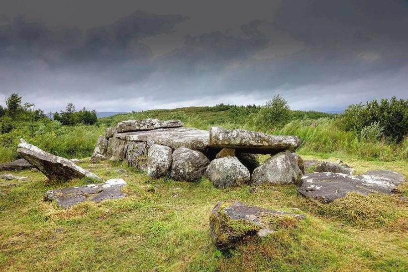
Mythology: In the Lebor Gabála Érenn, the Tuatha Dé Danann are said to have landed on Slieve Anierin in a "dark cloud," bringing the four treasures of Ireland with them.
Key Activities & Trails
The Miner’s Way: A long-distance walking trail ($118$ km) that passes through the mountain, following the historical paths used by miners to reach the pits.
Aghacashel Looped Walks: Features three marked loops (Yellow, Blue, and Red) of varying difficulty that provide views of the Arigna Mountains and Lough Allen.
Hillwalking: Navigating the summit plateau requires a compass or GPS due to frequent low cloud cover and the absence of a distinct summit peak.
Infrastructure & Amenities
Sliabh an Iarainn Visitor Centre: Located in Drumshanbo ($10$ km south). It provides historical context on the mining and musical heritage of the mountain.
Sanitation: No facilities on the mountain. Restrooms are available in Drumshanbo or Aghacashel.
Connectivity: Signal is intermittent. 4G is generally available on western slopes facing Lough Allen but is lost in the gullies and eastern valleys.
Technical Details
The mountain is a "mesa-like" structure. The presence of shale makes the ground exceptionally soft and prone to saturation. The iron ore found here is primarily "siderite" (iron carbonate), found in nodules within the shale layers.
Nearby Landmarks
Lough Allen – Immediately West
Drumshanbo (The Shed Distillery) – $10$ km South
Arigna Mining Experience – $15$ km Southwest
Cuilcagh Mountain (Stairway to Heaven) – $25$ km North