Information
Landmark: Cerro de la CruzCity: Tarija
Country: Bolivia
Continent: South America
Cerro de la Cruz, Tarija, Bolivia, South America
Cerro de la Cruz is a prominent hill located on the eastern edge of Tarija, Bolivia. It serves as a viewpoint overlooking the city and the surrounding valley.
Visual Characteristics
The hill is characterized by its arid, scrub-covered slopes. At its summit, a large white cross, approximately 10 meters in height, is the dominant feature. The cross is constructed from concrete and painted white.
Location & Access Logistics
Cerro de la Cruz is situated approximately 2 kilometers east of Tarija's city center. Access is primarily via the paved road, Avenida Las Américas, which leads directly to the base of the hill. From Avenida Las Américas, a well-maintained dirt path ascends the final 500 meters to the summit. Limited parking is available at the trailhead. Public transport options to the base of the hill include local bus lines that run along Avenida Las Américas; disembark at the stop nearest to the ascent path.
Historical & Ecological Origin
The cross was erected in the mid-20th century as a religious monument. The hill itself is composed of sedimentary rock formations typical of the region, with sparse xerophytic vegetation adapted to the dry climate.
Key Highlights & Activities
The primary activity is ascending to the summit for panoramic views of Tarija and the Guadalquivir River valley. Photography is a common pursuit due to the expansive vistas. The ascent path is suitable for walking.
Infrastructure & Amenities
Restrooms are not available at the summit. There is no natural shade on the ascent or at the summit. Cell phone signal (4G/5G) is generally available. No food vendors are present at the site; visitors should bring their own provisions.
Best Time to Visit
For optimal lighting conditions for photography, the late afternoon (approximately 16:00 to 18:00) provides softer light and longer shadows. The dry season, from May to October, offers the most pleasant weather with minimal rainfall. Mid-morning can also be suitable to avoid the midday sun.
Facts & Legends
A local tradition involves individuals making the ascent on foot as a form of pilgrimage or personal reflection. It is said that on clear nights, the city lights below create a distinct pattern visible from the summit.
Nearby Landmarks
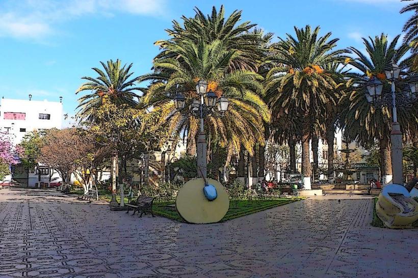
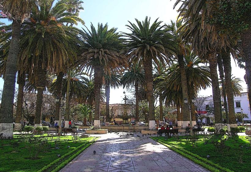
- Plaza Luis de Fuentes y Vargas (2.5km West)
- Museo de Paleontología y Arqueología (2.8km West)
- Catedral de San Bernardo (3.0km West)
- Mercado Central (3.2km West)