Information
Landmark: Parque Nacional Cordillera de SamaCity: Tarija
Country: Bolivia
Continent: South America
Parque Nacional Cordillera de Sama, Tarija, Bolivia, South America
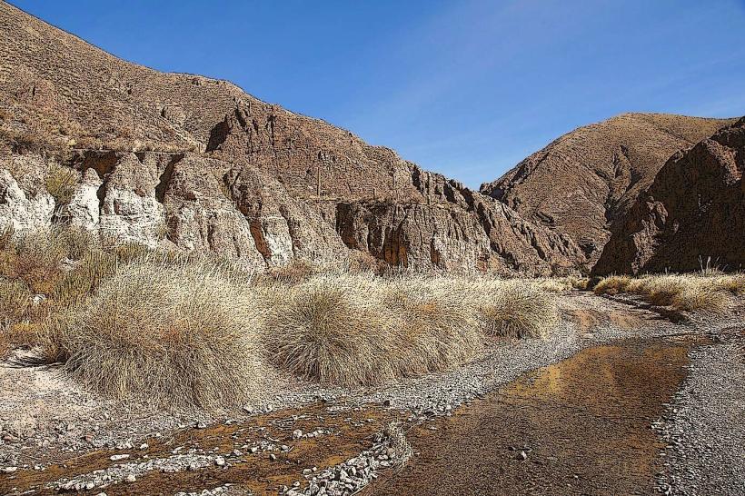
Parque Nacional Cordillera de Sama is a protected area located in the Tarija Department of Bolivia. It encompasses a significant portion of the Sama mountain range.
Visual Characteristics
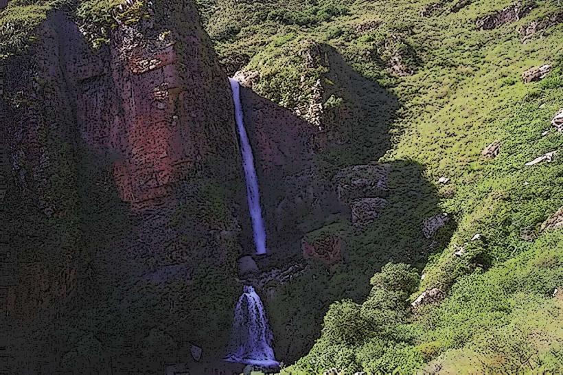
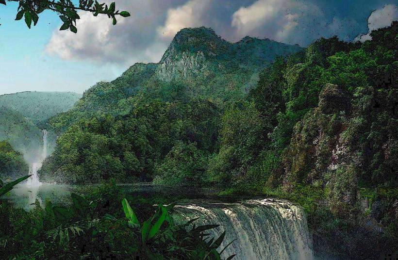
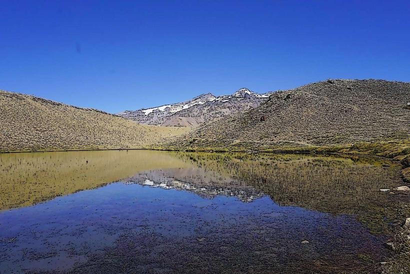
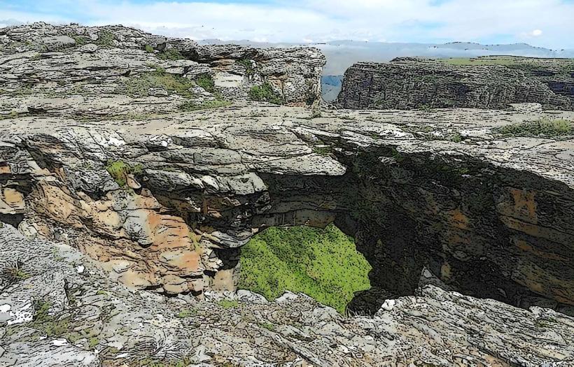
The park's terrain is characterized by steep mountain slopes, deep canyons, and high-altitude plateaus. Vegetation varies with elevation, ranging from dry scrubland and cacti at lower altitudes to grasslands and sparse forests at higher elevations. Rock formations are predominantly sedimentary and metamorphic.
Location & Access Logistics
The park is situated approximately 20 kilometers west of the city of Tarija. Access is primarily via the Ruta 1 national highway, turning onto unpaved secondary roads leading into the park. The main entrance is approximately 1 hour drive from Tarija. Limited parking is available at designated trailheads. Public transport directly into the park is not available; private vehicles or organized tours are necessary.
Historical & Ecological Origin
The Cordillera de Sama is a geological formation of the Andes mountain range, shaped by tectonic uplift and erosion over millions of years. The park was established in 1979 to conserve its unique biodiversity and water resources, particularly the headwaters of several important rivers supplying the region.
Key Highlights & Activities
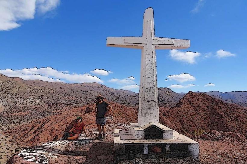
Hiking is a primary activity, with trails ranging from short walks to multi-day treks. Birdwatching is significant due to the diverse avian species. Photography opportunities exist for the varied landscapes. Wildlife observation, including vicuñas and condors, is possible.
Infrastructure & Amenities
Basic infrastructure within the park is minimal. Designated campsites are available in some areas. Restrooms are not consistently available outside of the visitor center near the main entrance. Shade is limited in open plateau areas. Cell phone signal is unreliable and generally absent in most of the park.
Best Time to Visit
The dry season, from April to October, offers the most stable weather conditions for visiting. The best time of day for photography is generally early morning or late afternoon for optimal lighting on the mountain slopes. High altitudes can experience significant temperature drops at night year-round.
Facts & Legends
The park is a critical watershed, providing water for the city of Tarija and surrounding agricultural areas. Local folklore speaks of ancient spirits guarding the mountain peaks, influencing weather patterns.
Nearby Landmarks
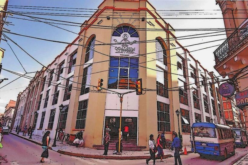
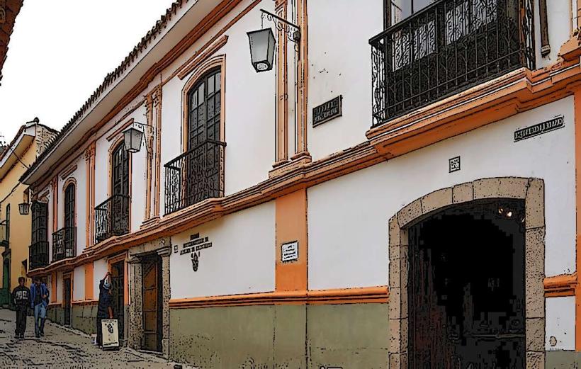
- Torre de la Independencia (Tarija) - 20km East
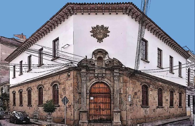
- Museo de Paleontología y Arqueología (Tarija) - 21km East
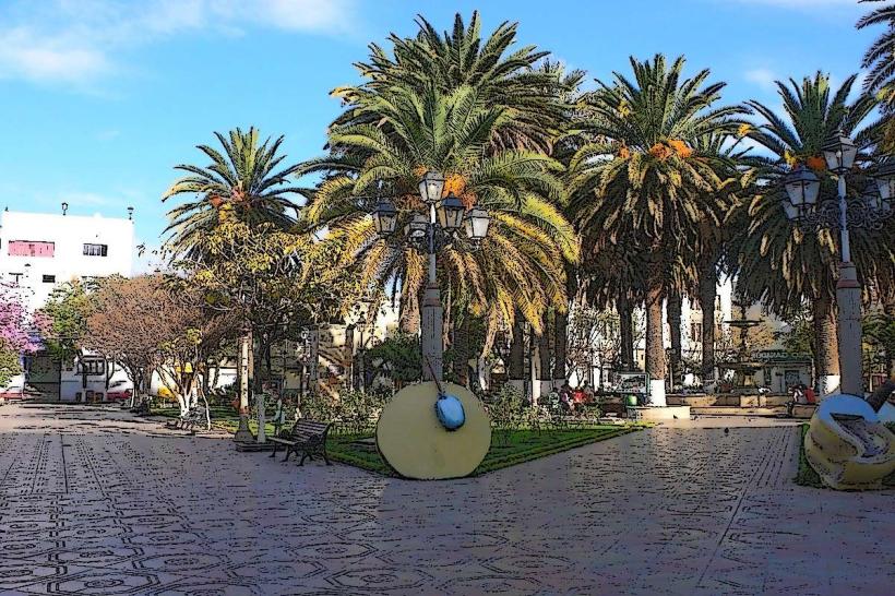
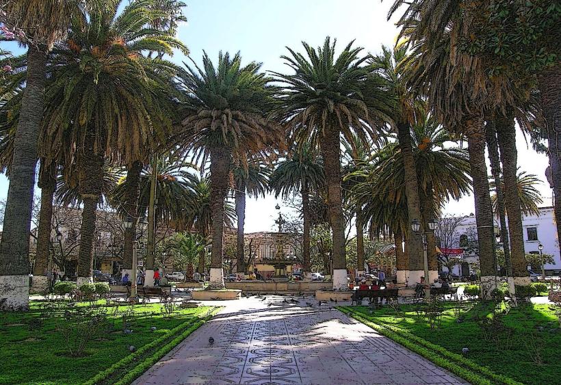
- Plaza Luis de Fuentes y Vargas (Tarija) - 22km East
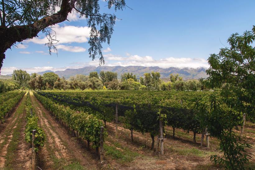
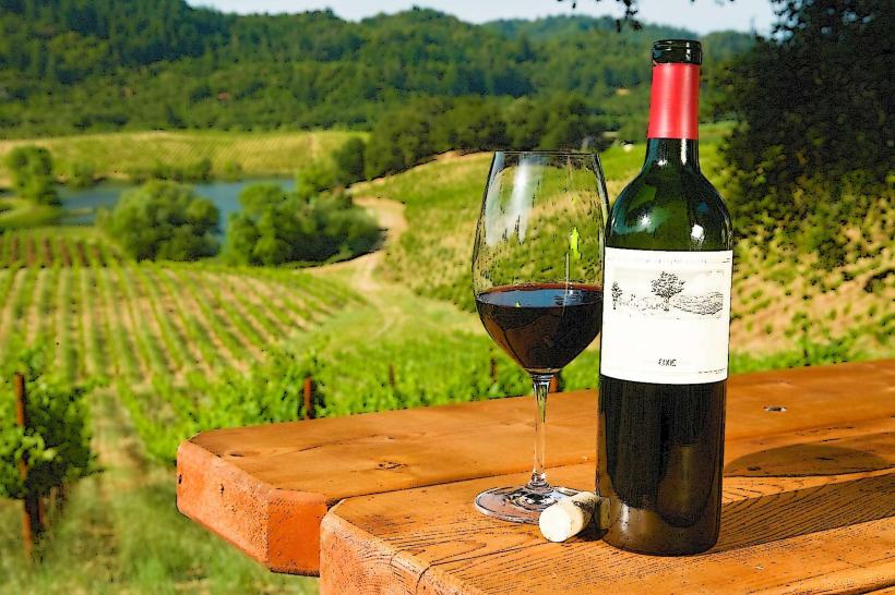
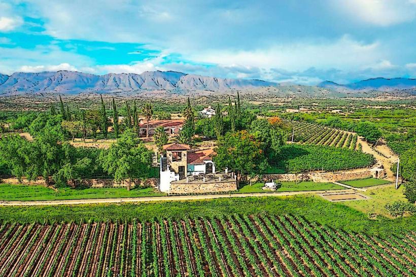
- Bodegas de Vino de altura (various locations) - 15km East