Information
Landmark: Cerro LambaréCity: Asuncion
Country: Paraguay
Continent: South America
Cerro Lambaré, Asuncion, Paraguay, South America
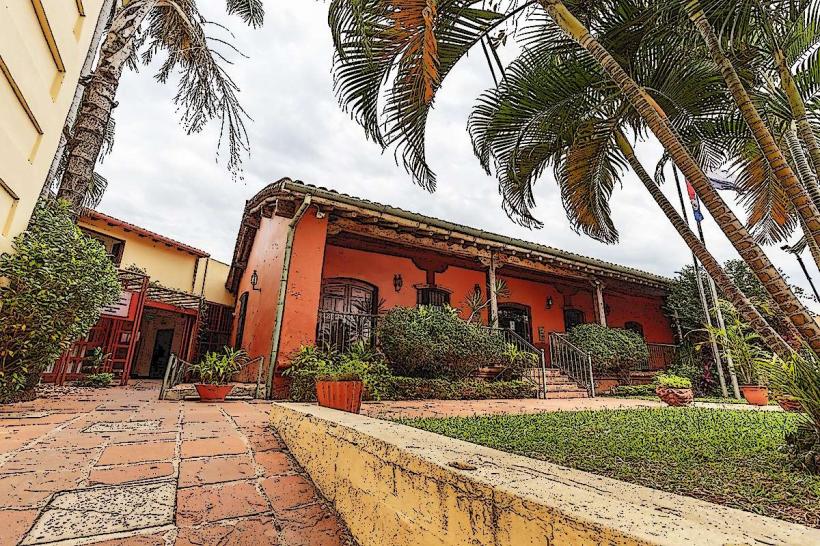
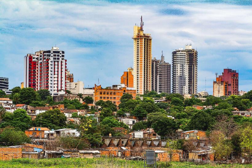
Cerro Lambaré is a prominent hill located within the city limits of Asunción, Paraguay. It serves as a significant natural landmark and recreational area for residents and visitors.
Visual Characteristics
The hill is characterized by its moderate elevation, reaching approximately 120 meters above sea level. Its slopes are covered with a mix of native grasses and scattered trees, primarily of the Tabebuia and Anacardium species. The summit offers panoramic views of the surrounding urban landscape and the Paraguay River. The dominant geological material is lateritic soil and sandstone.
Location & Access Logistics
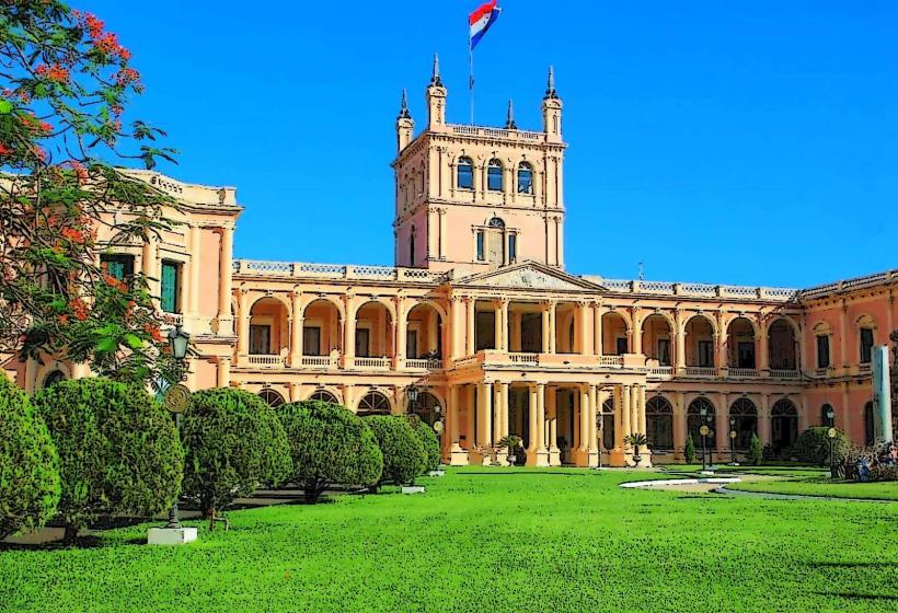
Cerro Lambaré is situated in the southern part of Asunción. Access is primarily via Avenida Defensores del Chaco, a major arterial road. From the city center (Plaza de Armas), it is approximately 8 kilometers southwest. Several local bus lines, including routes 1, 12, 15, 21, 23, 24, 30, 37, 41, 44, 45, 47, 48, and 52, stop near the base of the hill. Limited on-street parking is available at designated points along the access roads. No dedicated parking lots are present.
Historical & Ecological Origin
Cerro Lambaré is a natural geological formation, part of the Paraná Plateau's sedimentary rock layers. Its ecological significance lies in its role as a remnant of the Atlantic Forest biome within an urban setting, supporting local flora and fauna. Historically, the hill has been a strategic vantage point, utilized by indigenous Guaraní populations and later by military forces during conflicts. The current park infrastructure was developed in the late 20th century.
Key Highlights & Activities
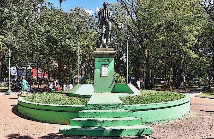
Visitors can engage in walking and jogging on the paved paths that ascend the hill. Observation decks at the summit provide viewpoints. The park is suitable for birdwatching. Picnicking is permitted in designated areas. The Monument to the Heroes of Cerro Corá is located at the summit.
Infrastructure & Amenities
Basic amenities include a limited number of public restrooms located near the main entrance. Shade is provided by mature trees along the pathways. Cell phone signal (4G) is generally available throughout the park. No food vendors operate within the park; however, commercial establishments are located along Avenida Defensores del Chaco, approximately 500 meters from the park entrance.
Best Time to Visit
For optimal lighting conditions for photography, early morning (07:00-09:00) and late afternoon (16:00-18:00) are recommended. The dry season, from May to September, offers more pleasant temperatures and lower humidity. The wet season (October to April) can experience heavy rainfall.
Facts & Legends
A local legend suggests that the hill was once a sacred site for the Guaraní people, used for astronomical observations. During the Paraguayan War, it served as a lookout point for both Paraguayan and Allied forces.
Nearby Landmarks
- Parque Carlos Antonio López (1.2km Northwest)
- Estadio General Pablo Rojas (2.5km North)
- Mercado de Abasto (3.0km Northeast)
- Museo Militar (4.5km North)