Information
Landmark: Chattahoochee River National Recreation AreaCity: Atlanta
Country: USA Georgia
Continent: North America
Chattahoochee River National Recreation Area, Atlanta, USA Georgia, North America
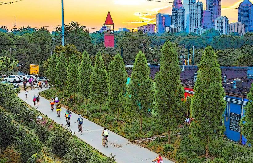
The Chattahoochee River National Recreation Area is a protected river corridor located within the metropolitan Atlanta, Georgia area. It preserves a significant portion of the Chattahoochee River and its surrounding natural environment.
Visual Characteristics
The area features a river with varying widths and depths, characterized by clear to slightly tannic water. Riverbanks are predominantly lined with deciduous and coniferous trees, creating dense green foliage during warmer months. Exposed rock formations and gravel bars are visible in shallower sections. The terrain includes rolling hills and some steeper inclines along the river bluffs.
Location & Access Logistics
Access points are distributed along a 48-mile stretch of the river. Major entry points include the East Palisades Trailhead (off Northside Drive NW, approximately 10 miles northwest of downtown Atlanta) and the West Palisades Trailhead (off Powers Ferry Road NW, approximately 12 miles northwest of downtown Atlanta). Parking is available at designated trailheads, with capacity varying by location. Public transport options are limited; MARTA bus routes serve some areas near the park boundaries, requiring additional walking or taxi service to reach trailheads.
Historical & Ecological Origin
The Chattahoochee River has been a vital water source and transportation route for millennia. The National Recreation Area was established in phases, with significant land acquisitions occurring from the 1970s onwards, to protect the river's ecological integrity and provide recreational opportunities. The area's geology is characterized by Piedmont physiography, with underlying metamorphic and igneous rocks.
Key Highlights & Activities
Activities include hiking on marked trails such as the East Palisades Trail (3.2 miles loop) and the West Palisades Trail (4.5 miles loop). Kayaking and canoeing are permitted on the river, with put-in and take-out points at various access areas. Angling for species like bass and catfish is also a common pursuit. Birdwatching is popular due to the diverse avian population.
Infrastructure & Amenities
Restrooms are available at select major access points, such as the East Palisades and West Palisades trailheads. Shade is provided by the natural tree canopy along trails and riverbanks. Cell phone signal strength varies significantly by location; 4G/5G service is generally unreliable in more remote sections of the park. No food vendors are present within the recreation area itself; visitors should bring their own provisions.
Best Time to Visit
For photography, early morning and late afternoon offer optimal lighting conditions due to lower sun angles. The best months for comfortable hiking and water activities are April through October. Water levels can fluctuate based on rainfall and dam operations upstream; checking current conditions is advisable for water-based recreation.
Facts & Legends
A notable historical feature is the presence of remnants of old mills and dams along the river, indicative of its industrial past. Local folklore sometimes refers to the river as a boundary between different spirits or energies, though these are unverified narratives.
Nearby Landmarks
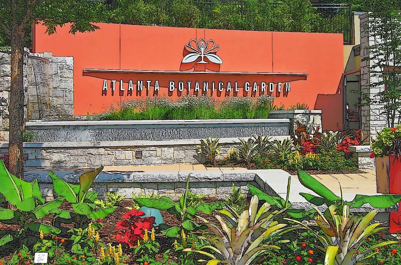
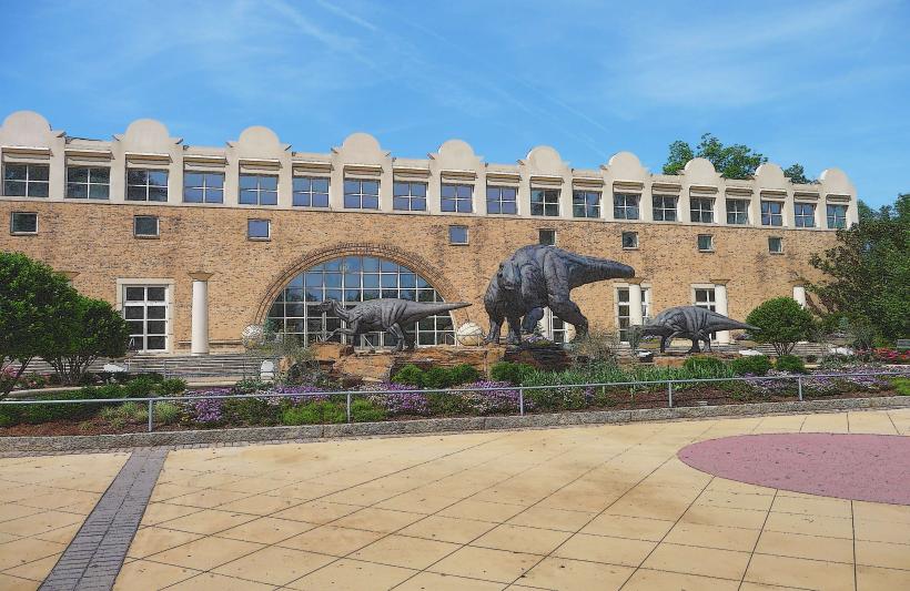
- Atlanta Botanical Garden (8km Southeast)
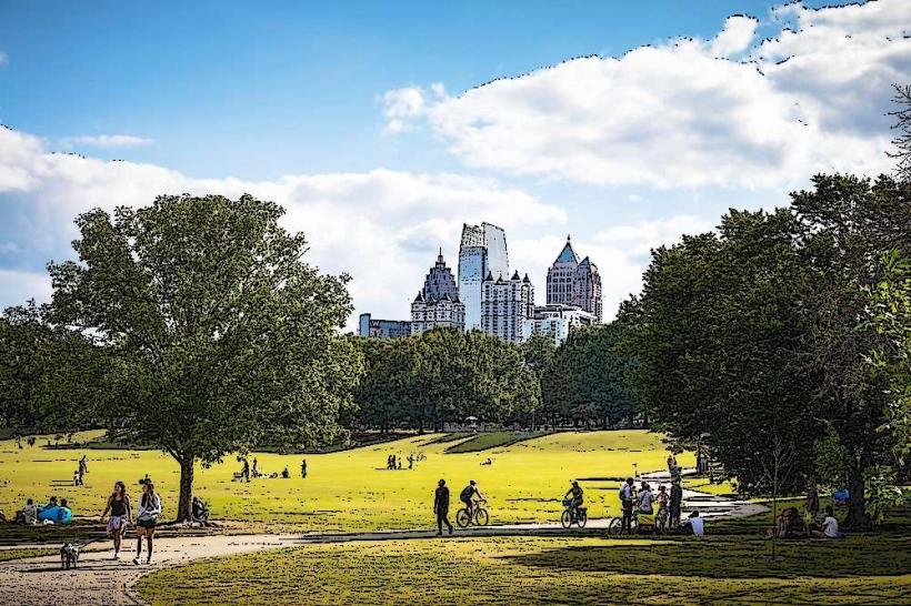
- Piedmont Park (9km Southeast)
- Kennesaw Mountain National Battlefield Park (20km Northwest)
- Stone Mountain Park (35km East)