Information
Landmark: Corona Forestal Lunar landscapeCity: Tenerife
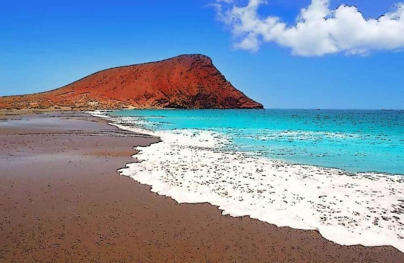
Country: Canary Islands
Continent: Europe
Corona Forestal Lunar landscape, Tenerife, Canary Islands, Europe
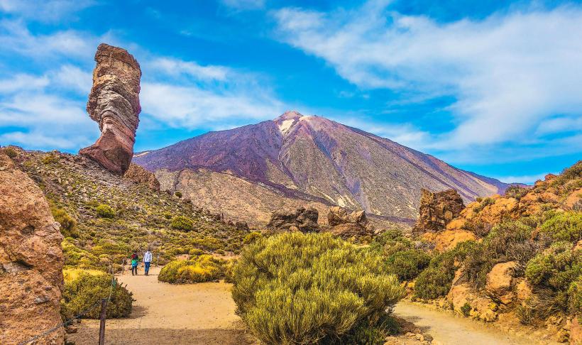
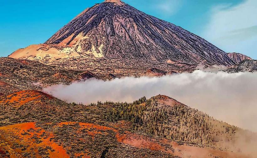
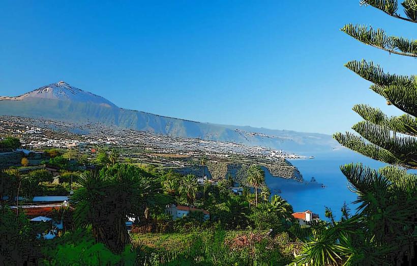
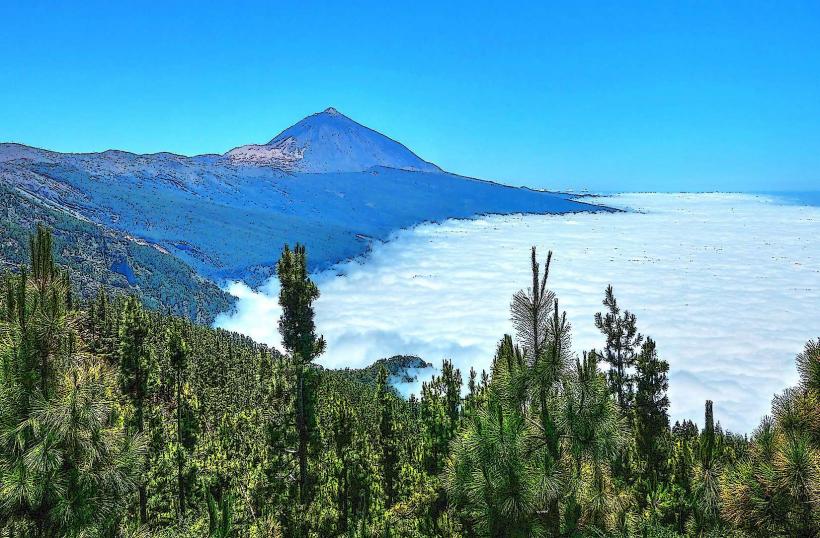
The Corona Forestal Lunar landscape is a distinct geological area featuring eroded volcanic rock formations, located within the Corona Forestal Natural Park on the island of Tenerife, Canary Islands.
Visual Characteristics
The landscape is characterized by light-colored, highly eroded pumice stone formations, often described as resembling a lunar surface. These formations are primarily white and cream, contrasting with darker volcanic rock and sparse pine vegetation. The erosion patterns create intricate, spire-like structures and deep gullies, varying in height up to several meters.
Location & Access Logistics
The site is accessible via the TF-21 road, which connects Vilaflor to Teide National Park. It is approximately 7km north of the town of Vilaflor. Parking is available in designated, unpaved areas along the TF-21, particularly near the trailheads. Public transport options are limited; a private vehicle is recommended. The nearest bus stop is in Vilaflor, served by Titsa lines, requiring a subsequent hike or taxi.
Historical & Ecological Origin
The Lunar landscape is a result of ancient volcanic eruptions, specifically the deposition of thick layers of pumice stone. Subsequent erosion by wind and water over millennia has sculpted these soft volcanic materials into their current distinctive shapes. Ecologically, it is part of the Corona Forestal Natural Park, which acts as a buffer zone for Teide National Park, characterized by Canary Island pine forests.
Key Highlights & Activities
Hiking is the primary activity, with marked trails leading through the formations. The most popular route is the PR-TF 72 trail, which offers close views of the eroded pumice structures. Photography is a significant draw, capturing the unique geological features. Observation of the specific erosion patterns and the contrast between the light rock and dark pine trees is a key highlight.
Infrastructure & Amenities
Infrastructure at the immediate site is minimal. There are no dedicated restrooms or food vendors directly within the Lunar landscape area. Shade is provided by scattered pine trees along some parts of the trails. Cell phone signal (4G/5G) can be intermittent depending on the specific location within the rugged terrain. Basic amenities are available in the nearby town of Vilaflor.
Best Time to Visit
The best time to visit for photography is during the early morning or late afternoon when the sun's angle enhances the textures and shadows of the rock formations. The months from April to October generally offer the most stable and pleasant weather conditions, with less chance of rain or extreme cold. Avoid midday during summer to mitigate sun exposure.
Facts & Legends
The term "Lunar landscape" is a descriptive nickname given by visitors due to the terrain's resemblance to extraterrestrial environments. Geologically, the formations are primarily composed of ignimbrite, a type of rock formed from pyroclastic flows. A specific tip for visitors is to wear sturdy hiking boots, as the trails can be uneven and rocky.
Nearby Landmarks
- Vilaflor: 7km South
- Paisaje Lunar Viewpoint (Mirador del Paisaje Lunar): 1km North (specific viewpoint within the broader area)
- Teide National Park: 15km North
- Chinyero Volcano: 25km Northwest
- El Pino Gordo (Giant Pine Tree): 10km South