Information
Landmark: Parque Nacional de la Corona ForestalCity: Tenerife
Country: Canary Islands
Continent: Europe
Parque Nacional de la Corona Forestal, Tenerife, Canary Islands, Europe
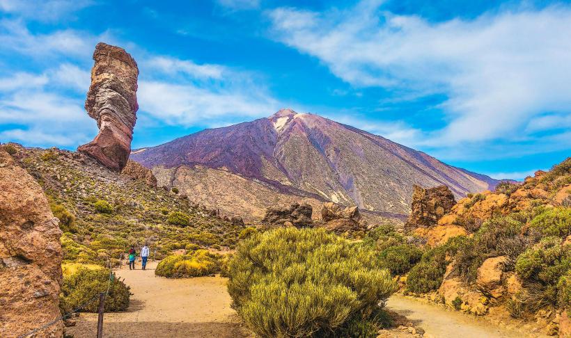
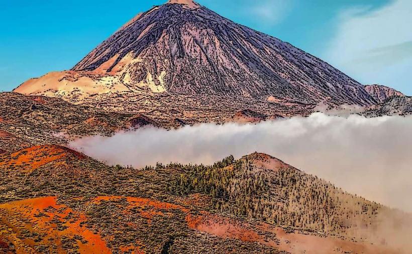
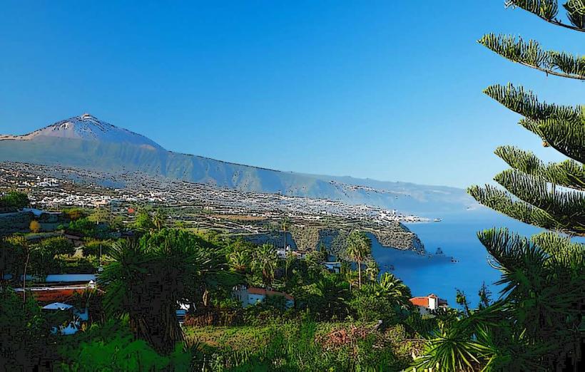
The Parque Nacional de la Corona Forestal is the largest protected natural area in Tenerife, Canary Islands. It encircles the Teide National Park, primarily consisting of extensive pine forests and high-altitude volcanic landscapes.
Visual Characteristics
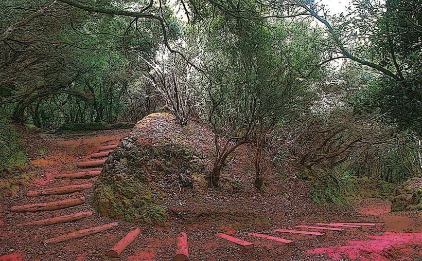
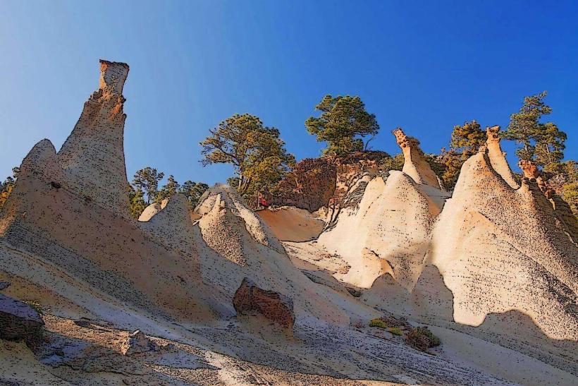
The park is characterized by dense stands of endemic Canary Island pine (Pinus canariensis), which cover vast slopes. The terrain includes numerous ravines, volcanic cones, and ancient lava flows, exhibiting colors ranging from the dark green of the pines to the reddish-brown and black of volcanic soil and rock. Elevations vary significantly, leading to diverse vegetation density, from thick forests to more sparse, arid zones at higher altitudes.
Location & Access Logistics
The park occupies the central highlands of Tenerife, surrounding the Teide National Park. It is accessible via several main roads, including the TF-21 (La Orotava-Vilaflor), TF-24 (La Esperanza-El Portillo), and TF-38 (Chío-Boca Tauce). Parking is available at designated viewpoints, picnic areas, and trailheads throughout the park. Public transport options are limited; some TITSA bus lines connect towns on the park's periphery, but direct access to many interior trails typically requires a private vehicle.
Historical & Ecological Origin
The Parque Nacional de la Corona Forestal is a natural area of volcanic origin, formed by successive eruptions from the Teide-Pico Viejo complex and other volcanic centers. Its ecological significance lies in its extensive Canary Island pine forests, which are crucial for water retention and biodiversity. The park acts as a vital buffer zone for the higher-altitude ecosystems of Teide National Park.
Key Highlights & Activities
Primary activities include hiking on a network of marked trails, such as the Sendero de Chinyero or routes leading to the Paisaje Lunar. Scenic drives along the main roads offer panoramic views of the island and the volcanic landscape. Picnicking is possible at designated areas. The park's clear skies make it an excellent location for stargazing.
Infrastructure & Amenities
Restrooms are available at some visitor centers and larger picnic areas, but are generally scarce in remote sections. Shade is abundant within the pine forests but limited in open volcanic areas. Cell phone signal (4G/5G) is generally reliable along main roads and in populated areas, but can be intermittent in deep ravines or very remote zones. Limited food vendors or small restaurants can be found in villages bordering the park or along major access routes.
Best Time to Visit
The best months to visit are spring (April-May) for mild temperatures and blooming wildflowers, and autumn (September-October) for clear skies and comfortable hiking conditions. Mornings are ideal for hiking to avoid the midday heat, especially in summer. Evenings offer optimal conditions for stargazing. Winter months can bring cold temperatures and occasional snow at higher elevations.
Facts & Legends
The Parque Nacional de la Corona Forestal plays a critical role in the island's water cycle, acting as a natural sponge that captures moisture from trade winds, which then filters into underground aquifers. The park is part of the Starlight Reserve designation for Tenerife, recognized for its exceptional conditions for astronomical observation.
Nearby Landmarks
- Teide National Park: Directly adjacent, 0km Central
- Chinyero Volcano: Within the park, 5km West
- Mirador de Chipeque: Within the park, 3km East
- Vilaflor de Chasna: Bordering the park, 2km South
- Paisaje Lunar: Within the park, 4km South-West