Information
Landmark: GarachicoCity: Tenerife
Country: Canary Islands
Continent: Europe
Garachico, Tenerife, Canary Islands, Europe
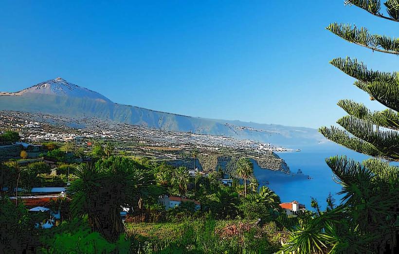
Garachico is a historic town and municipality located on the northern coast of Tenerife, Canary Islands. It is known for its natural volcanic rock pools and preserved colonial architecture.
Visual Characteristics
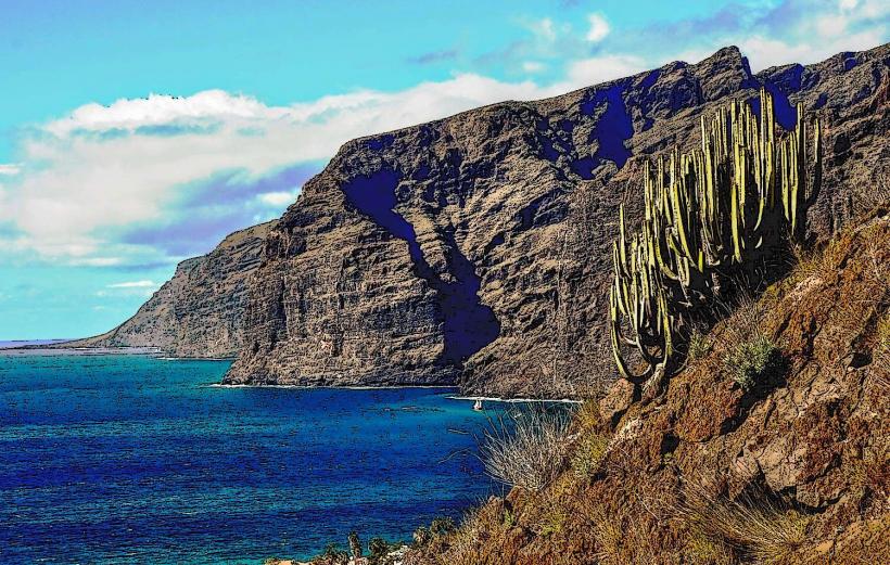
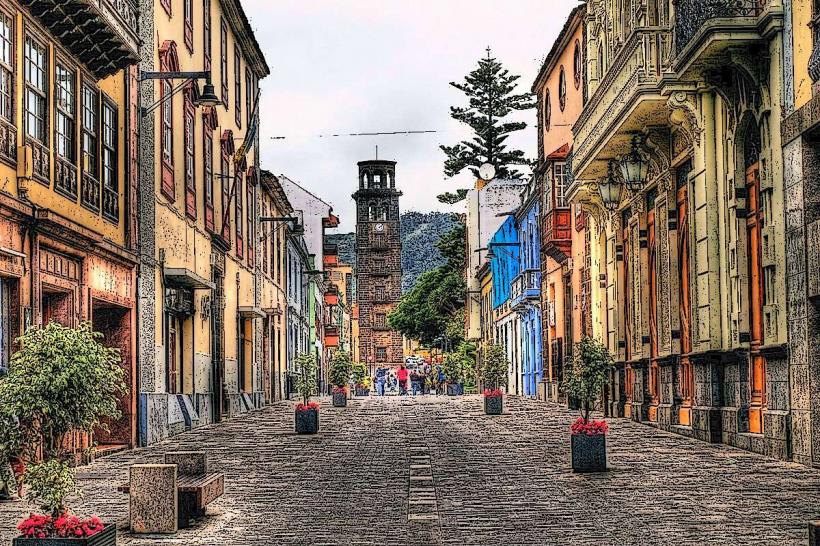
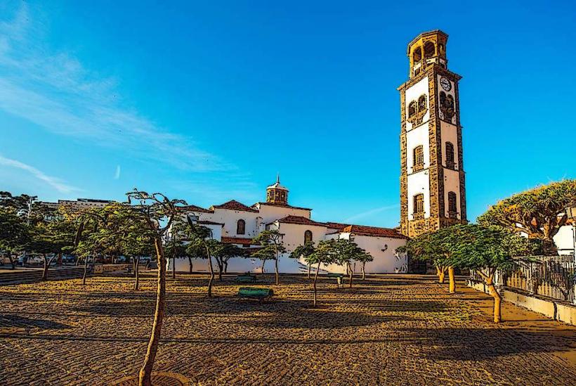
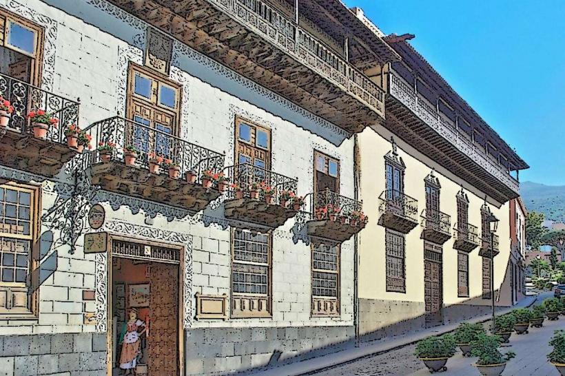
The town features whitewashed buildings with traditional wooden balconies, red-tiled roofs, and narrow cobblestone streets. The prominent church tower of Iglesia de Santa Ana rises above the townscape. The coastline is characterized by dark, rugged volcanic rock formations, including natural sea pools with clear Atlantic water.Location & Access Logistics
Garachico is approximately 50km west of Santa Cruz de Tenerife and 60km northwest of Tenerife South Airport (TFS). Access is primarily via the TF-42 road, which runs along the northern coast, connecting to the TF-5 highway. Limited street parking is available within the town center, and a larger, often paid, parking lot is situated near the port area. Public transport includes TITSA bus lines, such as line 363 from Puerto de la Cruz and line 325 from Los Gigantes.Historical & Ecological Origin
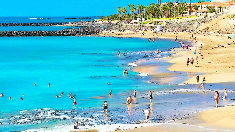
Garachico was founded in 1496 by the Genoese banker Cristóbal de Ponte. It served as Tenerife's main port for trade with Europe and America until a catastrophic volcanic eruption from the Trevejo volcano in 1706 destroyed the harbor and a significant portion of the town. The natural rock pools, known as El Caletón, were formed by the lava flow reaching the sea and solidifying into intricate formations.Key Highlights & Activities
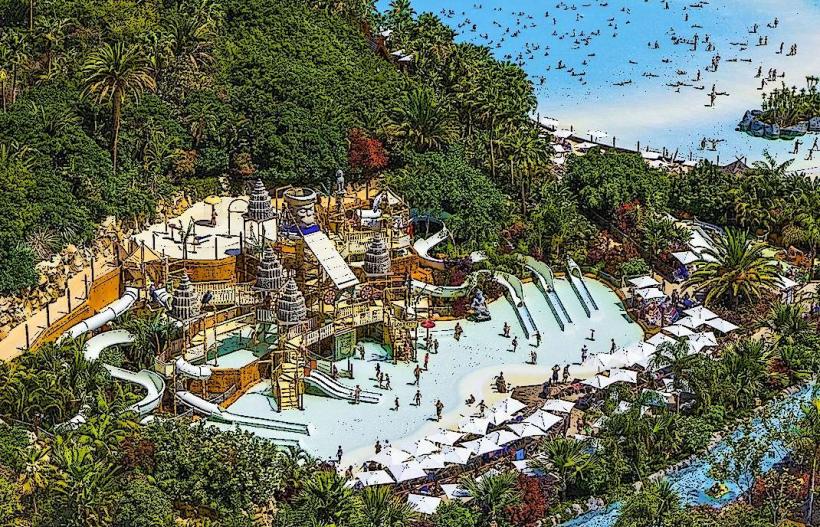
Swimming and sunbathing are possible at the natural pools of El Caletón, conditions permitting. Walking tours explore the historic center, including the Plaza de la Libertad and the Convento de San Francisco. The coastal promenade offers views of the Atlantic and the Roque de Garachico islet.Infrastructure & Amenities
Public restrooms are available near El Caletón and in the town center. Limited natural shade is provided by palm trees in public squares; otherwise, shade is minimal along the coastline. Cell phone signal (4G/5G) is generally reliable throughout the town. Several restaurants, cafes, and small shops are located in the historic center, offering local cuisine and amenities.Best Time to Visit
The best months for weather are April to October, with warmer temperatures and less rainfall. For swimming in El Caletón, low to mid-tide is preferable for easier access and calmer waters. Early morning or late afternoon provides softer light for photography of the town's architecture and the coastline.Facts & Legends
A local legend states that the Roque de Garachico, a small islet off the coast, is a petrified giant who tried to stop the 1706 lava flow. A verified historical oddity is that the town rebuilt itself directly on top of the solidified lava flows, incorporating them into its new layout rather than relocating.Nearby Landmarks
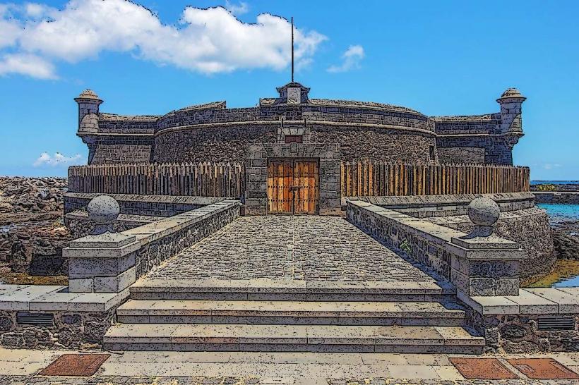
- Castillo de San Miguel: 0.2km East
- Convento de San Francisco: 0.3km South
- Plaza de la Libertad: 0.2km South-East
- Drago Milenario (Icod de los Vinos): 8km East
- Punta de Teno Lighthouse: 15km West