Information
Landmark: Curral das FreirasCity: Madeira
Country: Portugal
Continent: Europe
Curral das Freiras, Madeira, Portugal, Europe
Curral das Freiras is a civil parish and deep mountain valley situated in the interior of Madeira. It is positioned within a natural amphitheater defined by steep volcanic cliffs and serves as a significant geographical and historical enclave.
Visual Characteristics
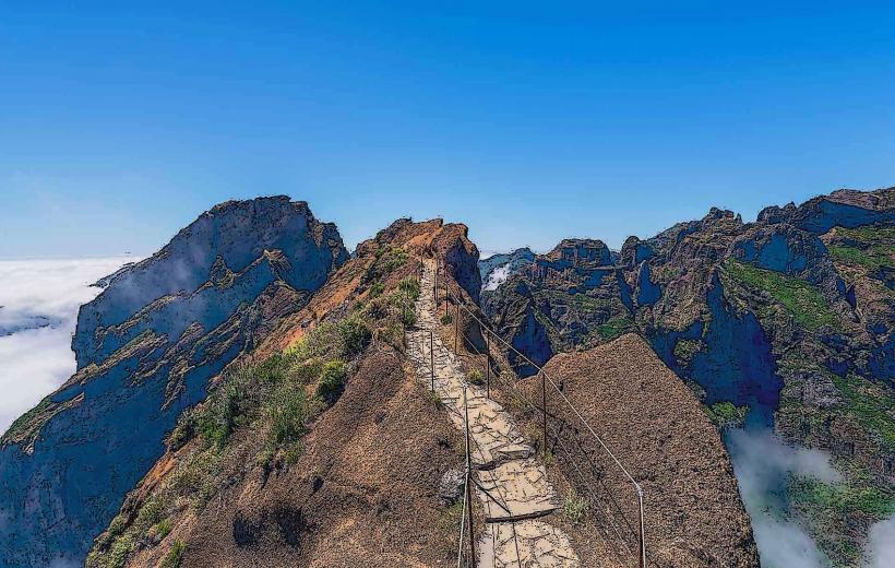
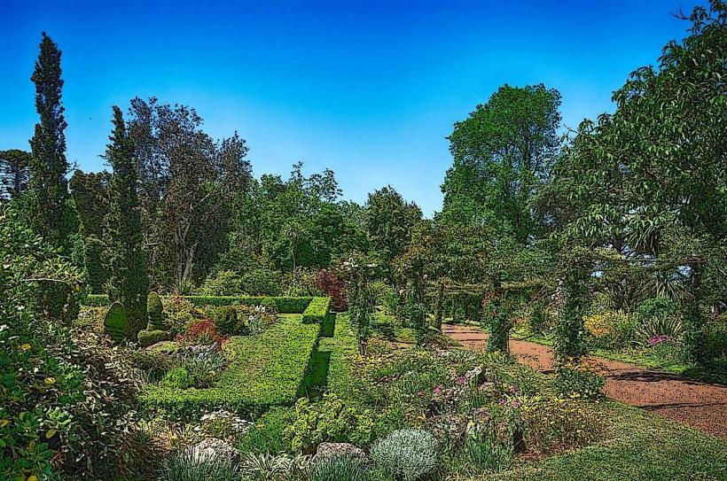
The site is a high-altitude basin surrounded by jagged basaltic peaks reaching elevations over $1,000$ meters. The valley floor features terraced agricultural plots and white-walled dwellings with terracotta roofs. Vegetation is dense, consisting primarily of chestnut trees and eucalyptus, while the central village is bisected by the Ribeira dos Socorridos stream.
Location & Access Logistics
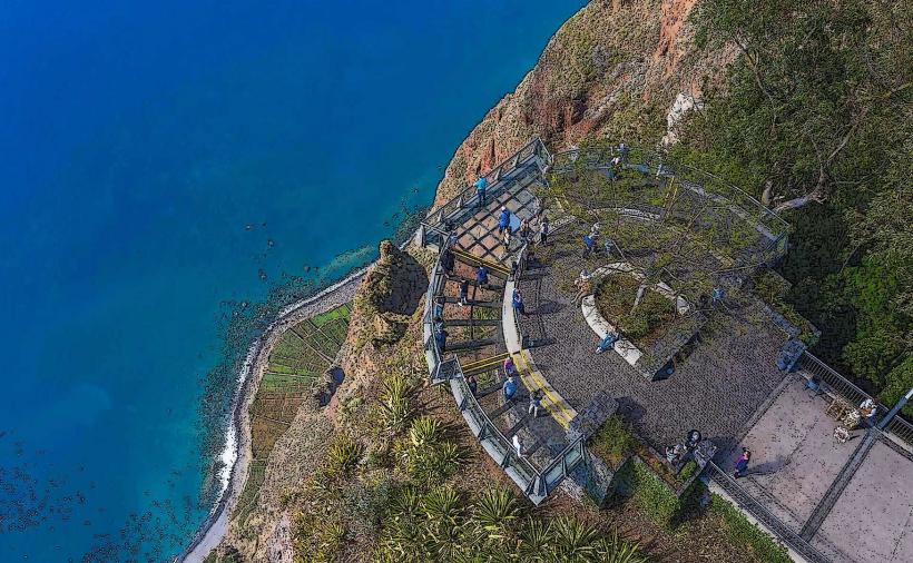
The village is located approximately 19 kilometers north of Funchal. Primary access is via the VE6 highway, which includes a 2.4-kilometer tunnel through the mountain. Public transport is provided by "Horários do Funchal" bus line 81. Observation points like Eira do Serrado are accessed via the ER107, featuring a dedicated parking area and a paved pedestrian path to the viewing platform.
Historical & Ecological Origin
The valley was formed by intense fluvial erosion rather than volcanic cratering, though it is often misidentified as the latter. Historically, the land belonged to the Monastery of Santa Clara; in 1566, nuns fled here to escape French pirates attacking Funchal, leading to the name "Valley of the Nuns."
Key Highlights & Activities
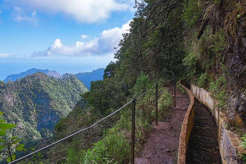
Visitors typically observe the valley from the Eira do Serrado viewpoint before descending to the village. The "Caminho Real" (Royal Path) offers a steep technical hiking route down the cliffside. Local gastronomy focuses on chestnut-based products, including cakes, liqueurs, and soups available in the village center.
Infrastructure & Amenities
The village center contains public restrooms, a small health center, and a post office. 4G and 5G cellular signals are functional but can be intermittent near the steeper cliff faces. A visitor center and hotel are located at Eira do Serrado. Multiple cafes and traditional restaurants operate within the valley floor.
Best Time to Visit
Mid-morning is optimal for photography to ensure the sun is high enough to illuminate the valley floor, which remains in shadow during early and late hours. The annual Chestnut Festival (Festa da Castanha) occurs in late October or early November. Clear weather is essential for visibility from the high-altitude viewpoints.
Facts & Legends
Local lore states that the valley remained one of the most isolated locations on the island until the first road tunnel was completed in 1959. A specific "secret" is the local cherry liqueur (Ginja), which is often served in edible chocolate cups at small stalls near the church.
Nearby Landmarks
Eira do Serrado Viewpoint: 1.2km South
Pico do Arieiro: 4.7km East
Pico Ruivo: 4.9km Northeast
Boca da Corrida Viewpoint: 2.3km West
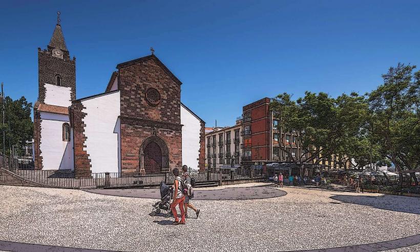
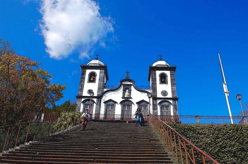
Church of Nossa Senhora do Livramento: 0.1km North