Information
Landmark: Ponta de Sao LourencoCity: Madeira
Country: Portugal
Continent: Europe
Ponta de Sao Lourenco, Madeira, Portugal, Europe
Ponta de São Lourenço is a 9-kilometer-long peninsula forming the easternmost point of Madeira. It is a semi-arid nature reserve characterized by dramatic basaltic cliffs and a complete absence of the trees found elsewhere on the island.
Visual Characteristics
The landscape consists of jagged volcanic rock formations in hues of ochre, red, and black, contrasting with the deep blue of the Atlantic Ocean. Vegetation is limited to low-lying herbaceous plants and salt-tolerant shrubs. The terrain is rugged, featuring steep coastal escarpments that reach heights of approximately $100$ meters and narrow isthmuses battered by high-energy wave action.
Location & Access Logistics
The site is located at the eastern terminus of the ER109 regional road, approximately 32 kilometers from Funchal and 10 kilometers from Madeira Airport. A large, unpaved public parking area is situated at Baía d'Abra, the trailhead for the PR8 hike. Public transport is available via SAM bus line 113, which runs from Funchal to the Baía d'Abra stop.
Historical & Ecological Origin
Geologically, this is the oldest part of Madeira, formed by basaltic volcanic eruptions approximately 5.7 million years ago. It was the first point of land sighted by explorers João Gonçalves Zarco and Tristão Vaz Teixeira in 1419. The area is a designated partial natural reserve (Rede Natura 2000) to protect endemic flora and nesting seabirds like the Cory's shearwater.
Key Highlights & Activities
The primary activity is hiking the PR8 Vereda da Ponta de São Lourenço, a 7-kilometer round-trip trail. Swimming and snorkeling are possible at Cais do Sardinha, a small stone pier at the end of the trail. Boat excursions depart from Quinta do Lorde Marina to view the Ilhéu do Farol and the oldest lighthouse in Madeira.
Infrastructure & Amenities
Infrastructure is minimal to preserve the natural state. The Casa do Sardinha serves as a ranger station and contains a small cafe and restrooms for hikers. There is no shade along the trail, and 4G/5G cellular signals are generally available but can be lost in the lower bays. Potable water is not available on the trail; visitors must carry their own supplies.
Best Time to Visit
The best time for photography is at sunrise to capture the light hitting the eastern faces of the cliffs. Spring (March to May) provides a unique visual contrast as the typically arid landscape briefly turns green with seasonal growth. Low wind days are preferable, as the peninsula is highly exposed to North Atlantic gusts.
Facts & Legends
The peninsula is named after the ship São Lourenço, which was commanded by the explorers who discovered the island. A specific tip for visitors is to look for the "Ice Plant" (Mesembryanthemum crystallinum), an invasive but visually striking succulent covered in bladder cells that look like frozen water droplets.
Nearby Landmarks
Quinta do Lorde Marina: 2.1km West
Prainha do Caniçal: 3.5km West
Whale Museum (Museu da Baleia): 4.8km West
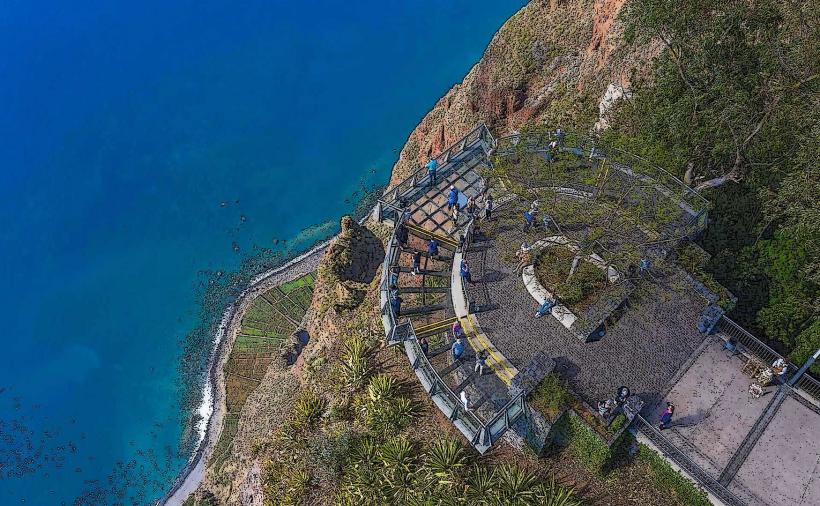
Ponta do Rosto Viewpoint: 1.5km Northwest
Ilhéu do Farol: 2.2km East