Information
Landmark: Levada WalksCity: Madeira
Country: Portugal
Continent: Europe
Levada Walks, Madeira, Portugal, Europe
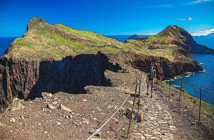
Levada Walks are a high-density network of hiking trails following narrow irrigation channels (levadas) unique to Madeira. These channels transport water from the high-precipitation zones in the north and center to the agricultural regions in the south.
Visual Characteristics
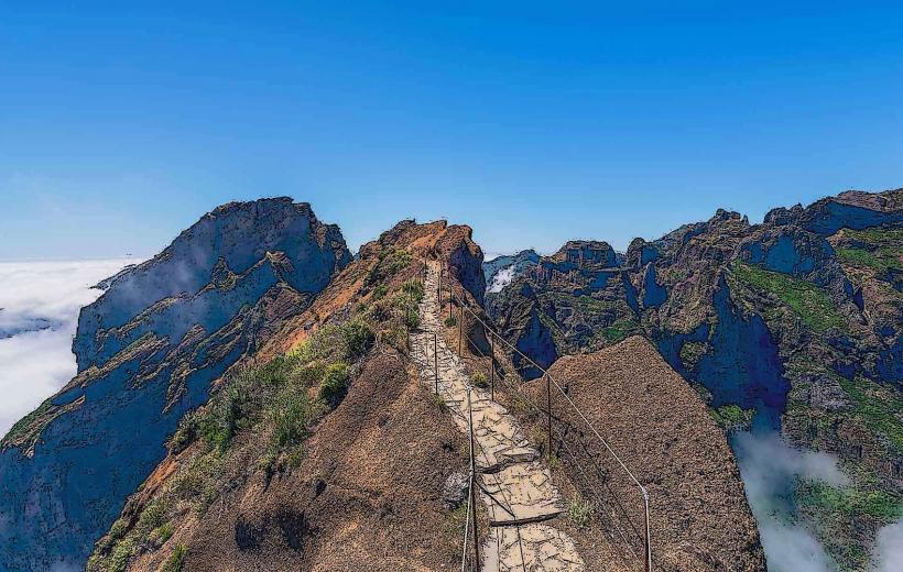
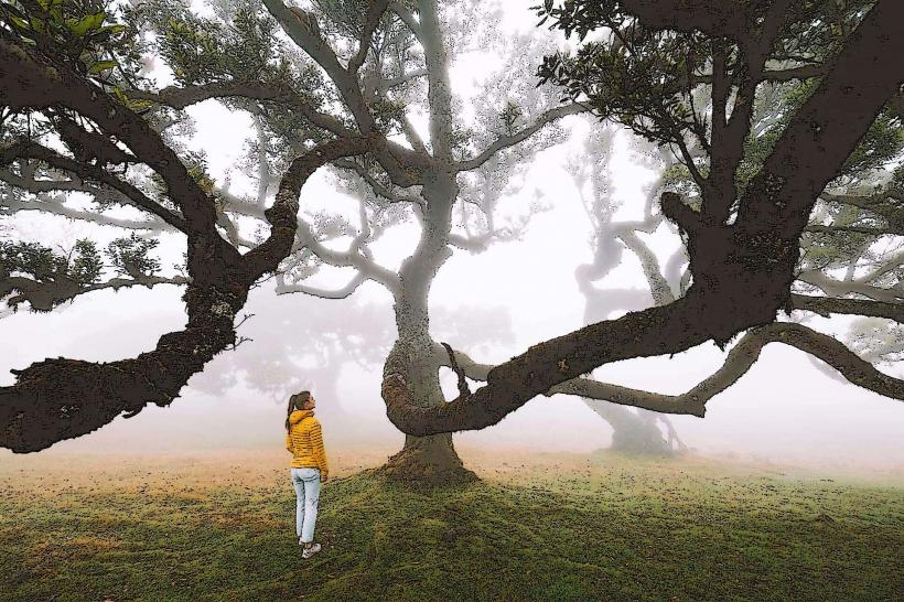
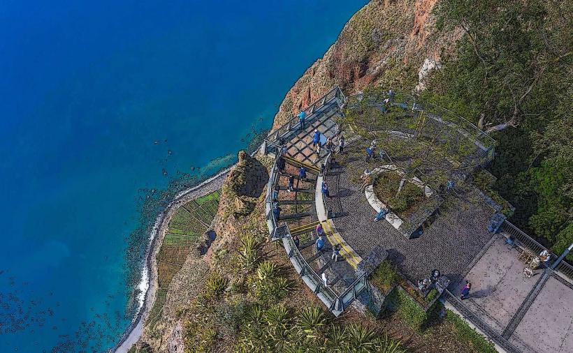
The trails are defined by their proximity to running water, typically featuring a stone or concrete channel (0.5 to 1 meter wide) on one side and a maintenance path on the other. Landscapes range from high-fidelity Laurisilva forests (UNESCO) to sheer volcanic cliff faces and high-altitude tunnels. Many routes feature significant vertical exposure, often protected only by wire fencing.
Location & Logistics
The network spans over 2,500 kilometers across the island.
Classification: Trails are categorized as PR (Pequena Rota) and numbered.
Difficulty: Ranges from Grade 1 (flat, wide) to Grade 4 (high-exposure, long-distance).
Access: Accessible via regional roads; many trailheads require a car or specialized shuttle (e.g., Pico do Arieiro or Rabaçal).
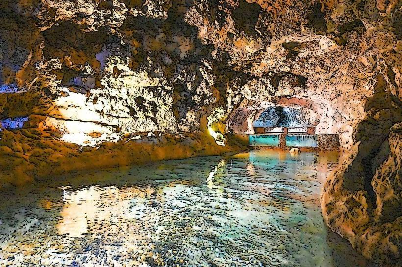
Tunnels: Many levadas traverse the central mountains through long, unlit tunnels. A high-fidelity flashlight and waterproof gear are mandatory for these sections.
Historical & Ecological Origin
Construction began in the 15th century to support sugarcane and vineyard irrigation. The system was hand-carved from volcanic rock over centuries. Ecologically, levadas function as artificial arteries that maintain high humidity levels along their path, fostering the growth of endemic mosses, ferns, and laurels.
Primary Routes
PR6 Levada das 25 Fontes: High-density tourist route in Rabaçal leading to a lagoon fed by 25 springs.
PR9 Levada do Caldeirão Verde: A 13km route through the deep forest, featuring four tunnels and a 100-meter waterfall.
PR11 Levada dos Balcões: A low-intensity 1.5km walk ending at a high-vantage viewpoint.
Levada do Norte: One of the longest and most important channels, passing through the terraced vineyards of the south.
Infrastructure & Safety
Maintenance: The trails are managed by the Institute of Forests and Nature Conservation (IFCN).
Signage: Official PR routes feature standardized wooden markers.
Connectivity: 5G coverage is sporadic in deep valleys; offline maps (GPS) are required.
Fees: Effective 2025, several high-traffic PR trails require a €3.00 entry fee for non-resident tourists, payable via the SIMPLIFICA portal.
Best Time to Visit
Open 24/7, though hiking after dark is high-risk. 08:00–11:00 is the optimal window to avoid maximum human density. Winter visits offer higher water volume in waterfalls but increased risk of rockfalls and landslides.
Facts
A verified technical fact is that many levadas were built using manual labor on suspended ropes over hundreds of meters of vertical drop. Today, they remain the island's primary water management infrastructure, serving both agriculture and hydroelectric power plants.
Nearby Landmarks
Ribeiro Frio: Hub for North-Central walks.
Encumeada Pass: Junction for several high-altitude routes.
Rabaçal: The primary hub for Western levada exploration.