Information
Landmark: Cuyahoga Valley National ParkCity: Akron
Country: USA Ohio
Continent: North America
Cuyahoga Valley National Park, Akron, USA Ohio, North America
Cuyahoga Valley National Park is a protected natural area situated between the cities of Cleveland and Akron in Northeast Ohio.
This park preserves a significant portion of the historic Cuyahoga River watershed, offering a diverse landscape of forests, wetlands, and rolling hills.
Visual Characteristics
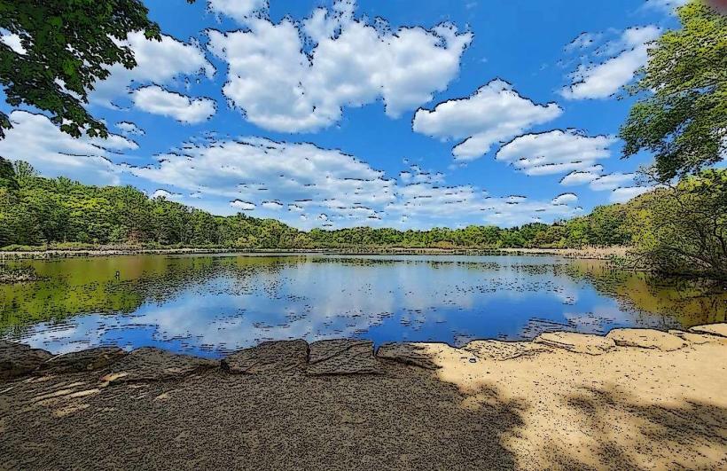
The park features deciduous forests dominated by oak, maple, and beech trees. The Cuyahoga River flows through the valley, varying in width and depth. Rock formations include shale and sandstone, particularly visible along riverbanks and in ravines. The terrain is characterized by moderate elevation changes with numerous small streams and waterfalls.
Location & Access Logistics
The park is accessible via Interstate 77, with multiple exits serving different park sections. The main visitor center, Boston Store Visitor Center, is located at 1550 Boston Mills Road, Peninsula, OH 44264. From downtown Akron, take I-77 North for approximately 10 miles to Exit 143 (Route 303). From downtown Cleveland, take I-77 South for approximately 20 miles to Exit 143. Parking is available at designated lots throughout the park, including trailheads and visitor centers. Public transport options are limited within the park itself, but the Greater Cleveland Regional Transit Authority (RTA) offers bus service to the edges of the park, requiring further walking or cycling.
Historical & Ecological Origin
The Cuyahoga River's ecological significance is marked by its historical pollution, which famously caught fire multiple times, contributing to the environmental movement. The park was established in 1974 as the Cuyahoga Valley National Recreation Area and redesignated as a National Park in 2000. Its geological origin is primarily glacial, with the valley carved by ancient ice sheets and subsequent river erosion. The area also contains remnants of human history, including the Ohio & Erie Canal towpath and former industrial sites.
Key Highlights & Activities
Hiking is available on over 125 miles of trails, including the Towpath Trail, which is also suitable for cycling and horseback riding. The Brandywine Falls area offers a boardwalk to an overlook of the 65-foot waterfall. Kayaking and canoeing are possible on the Cuyahoga River during periods of sufficient water flow. Birdwatching is a popular activity, with over 200 species recorded. Ranger-led programs are offered seasonally.
Infrastructure & Amenities
Restrooms are available at major trailheads and visitor centers. Shaded areas are abundant within the forested sections. Cell phone signal is inconsistent throughout the park, with stronger reception near populated areas and visitor centers. Food vendors are not present within the park boundaries, but restaurants and shops are located in nearby towns such as Peninsula and Brecksville.
Best Time to Visit
For photography, early morning or late afternoon light provides optimal illumination of the landscape. The best months for visiting are May through October, offering pleasant temperatures and full foliage. Spring (April-May) is ideal for viewing wildflowers. Autumn (September-October) provides fall colors. High tide is not a relevant factor for this inland park.
Facts & Legends
The park is home to the Everett Covered Bridge, the only remaining covered bridge in Northeast Ohio. Local folklore includes tales of the "Woman of the Falls," a spirit said to inhabit Brandywine Falls, though no verifiable historical accounts support this legend.
Nearby Landmarks
- Stanford House (0.8km West)
- Boston Store Visitor Center (1.2km Southwest)
- Brandywine Falls (2.5km North)
- Ohio & Erie Canal Towpath Trail (accessible throughout the park)
- Peninsula town center (3.0km Northwest)