Information
Landmark: Dias PointCity: Luderitz
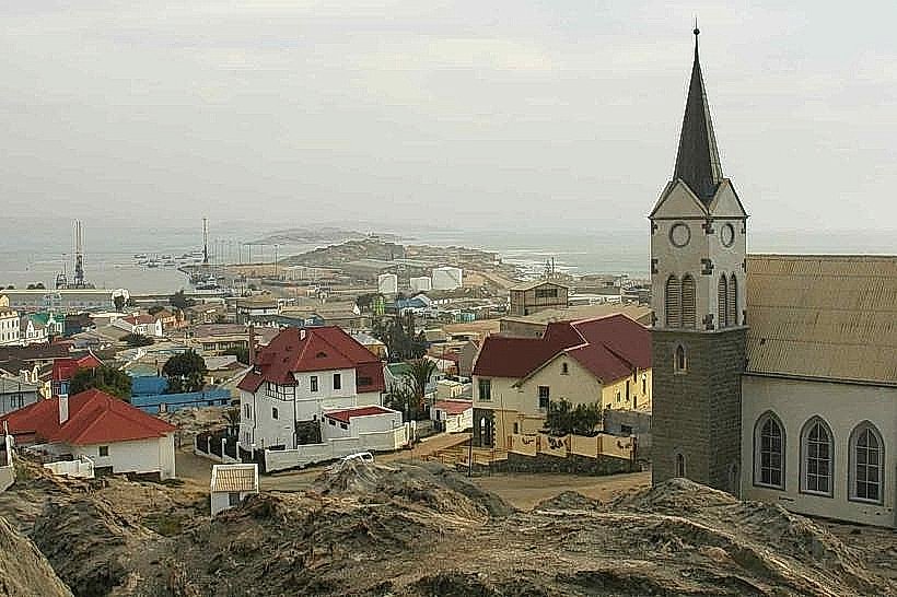
Country: Namibia
Continent: Africa
Dias Point, Luderitz, Namibia, Africa
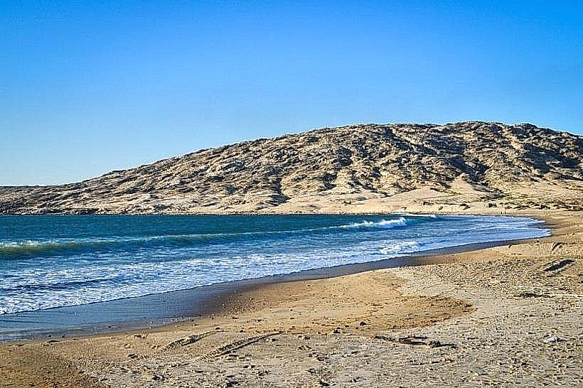
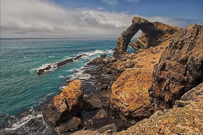
Dias Point is a rocky headland situated on the Lüderitz Peninsula, marking the southern entrance to the Lüderitz harbor. It is located approximately 22 kilometers southwest of the Lüderitz town center on the Atlantic coast of Namibia.
Visual Characteristics
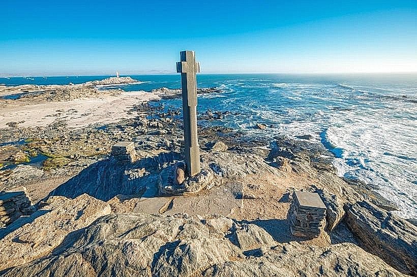
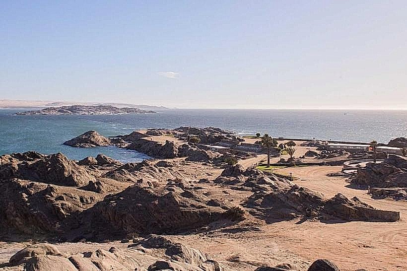
The point consists of dark, jagged volcanic rock formations and rugged granite outcrops constantly battered by the Atlantic surf. A wooden walkway leads to a replica of a stone cross (padrão) situated on a high rock. The surrounding marine environment is dominated by the cold, nutrient-rich waters of the Benguela Current, often resulting in heavy mist and high-velocity winds.
Location & Access Logistics
Access is via a 22-kilometer gravel road (the Peninsula road) that loops around the Lüderitz lagoon from the town center. The road is accessible by standard 2WD vehicles, though corrugated sections are common. There is no public transport; visitors must use private vehicles or local taxis. A designated gravel parking area is located at the base of the walkway leading to the cross.
Historical & Ecological Origin
The site is historically significant as the location where Portuguese explorer Bartolomeu Dias erected a limestone cross on July 25, 1488, during his return voyage after rounding the Cape of Good Hope. Ecologically, the point and the adjacent Guano Island serve as critical breeding grounds for Cape fur seals and African penguins.
Key Highlights & Activities
Walking the elevated boardwalk to the Dias Cross replica is the primary activity. The site offers vantage points for birdwatching and observing the seal colony on the rocks below. Photography of the dramatic coastline and the 1915 lighthouse, located 0.5km inland from the point, is a common activity.
Infrastructure & Amenities
Infrastructure is minimal and utilitarian. There are basic public restrooms and a small, seasonally operated coffee shop near the parking area. No 4G/5G cell signal is available at the point due to the remote coastal topography. There is no shade or protection from the persistent wind.
Best Time to Visit
The best time for a visit is mid-morning, as heavy coastal fog often obscures the point until 10:00 or 11:00 AM. Low tide reveals more of the rocky intertidal zones and shipwrecks in the vicinity. The site is accessible year-round, though wind speeds are highest during the summer months (November to January).
Facts & Legends
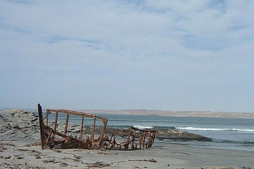
The original limestone cross erected by Dias survived for over 300 years before being toppled and broken in the early 1800s; fragments are now housed in museums in Lisbon and Cape Town. A local secret: a small, weathered shipwreck remains visible at low tide in the adjacent cove to the south.
Nearby Landmarks
Diaz Point Lighthouse: 0.4km South-East
Guano Island: 0.3km North (Offshore)
Grosse Bucht (Big Bay): 12km South
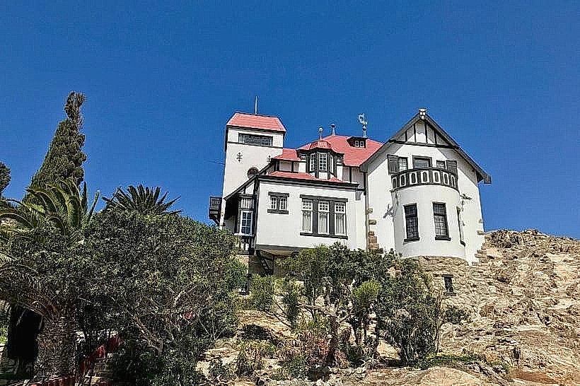
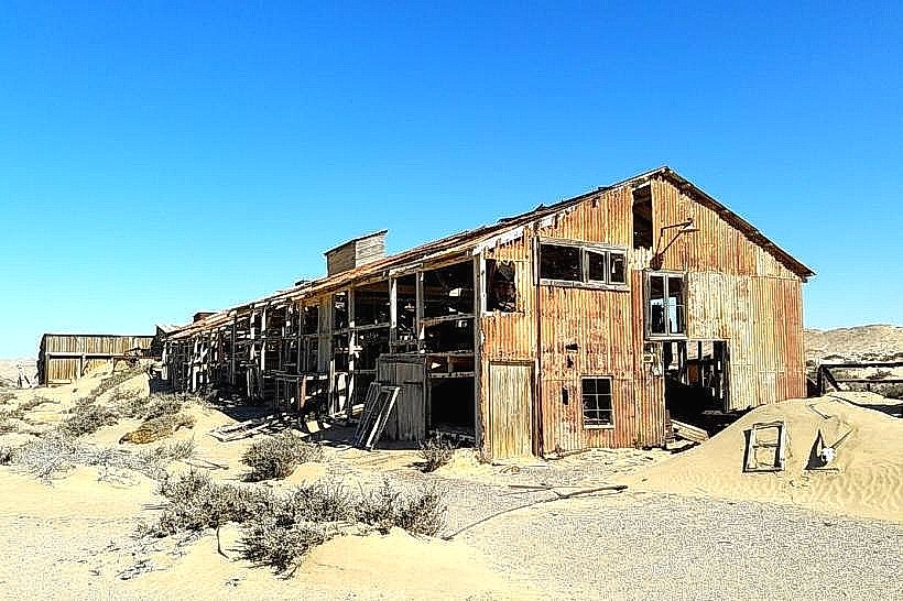
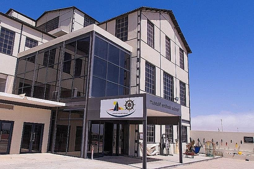
Luderitz-museum_luderitz" class="underline">Lüderitz Museum: 22km North-East