Information
Landmark: Shark Island (Haifischinsel)City: Luderitz
Country: Namibia
Continent: Africa
Shark Island (Haifischinsel), Luderitz, Namibia, Africa
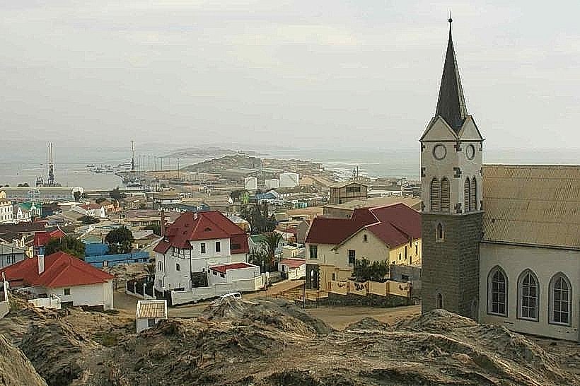
Shark Island is a peninsula located on the northern side of the Lüderitz harbor in Namibia. It is situated approximately 1.5 kilometers northwest of the Luderitz-museum_luderitz" class="underline">Lüderitz Museum and the town's central commercial district.
Visual Characteristics
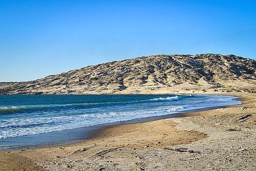
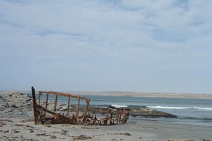
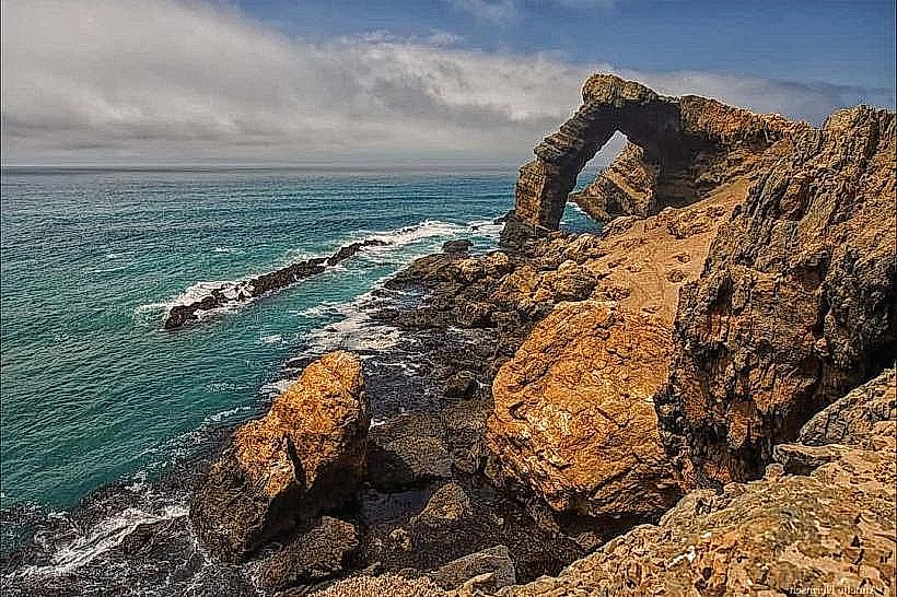
The landmark is a rugged, low-lying granite formation connected to the mainland by a narrow causeway. The terrain consists of weathered grey stone, salt-crusted rocks, and sparse coastal vegetation. It is surrounded by the cold waters of the Atlantic Ocean on three sides, with the coastline featuring several small, rocky inlets and a functional lighthouse on the southern tip.
Location & Access Logistics
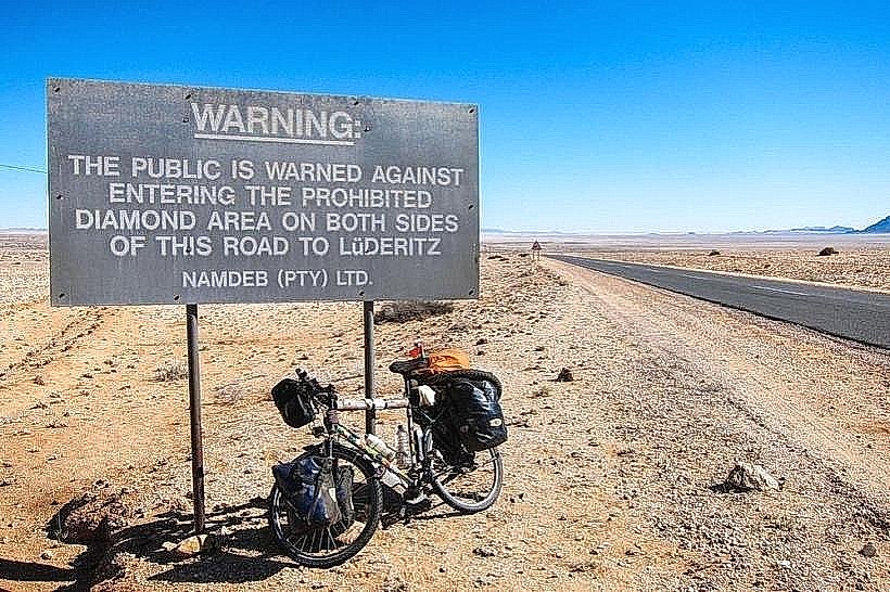
Access is via a paved road from the Lüderitz Waterfront that transitions into a causeway. It is easily reachable by standard 2WD vehicles or on foot from the town center. There is no public transport, but local taxis serve the area. A designated parking area is located near the entrance to the peninsula.
Historical & Ecological Origin
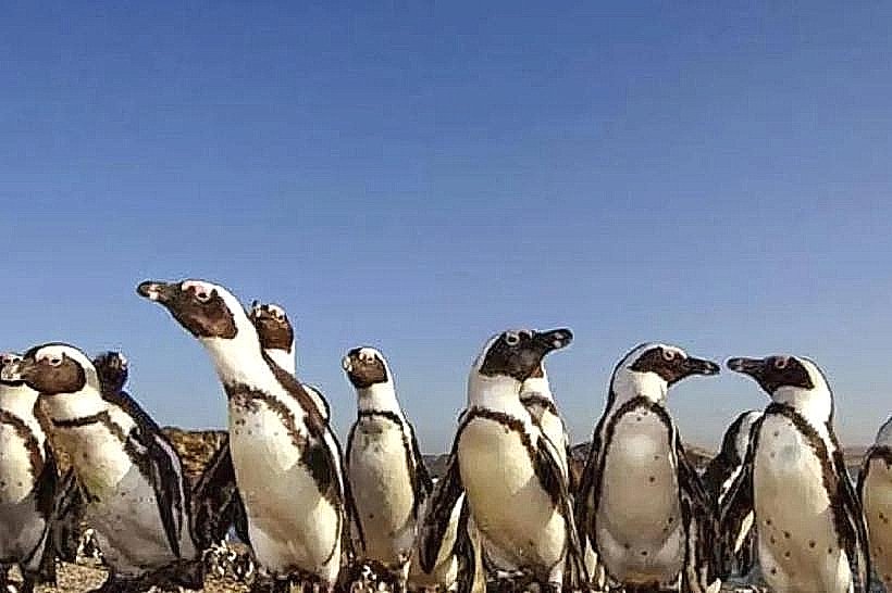
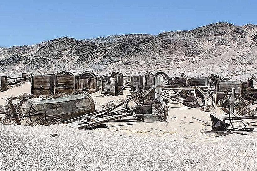
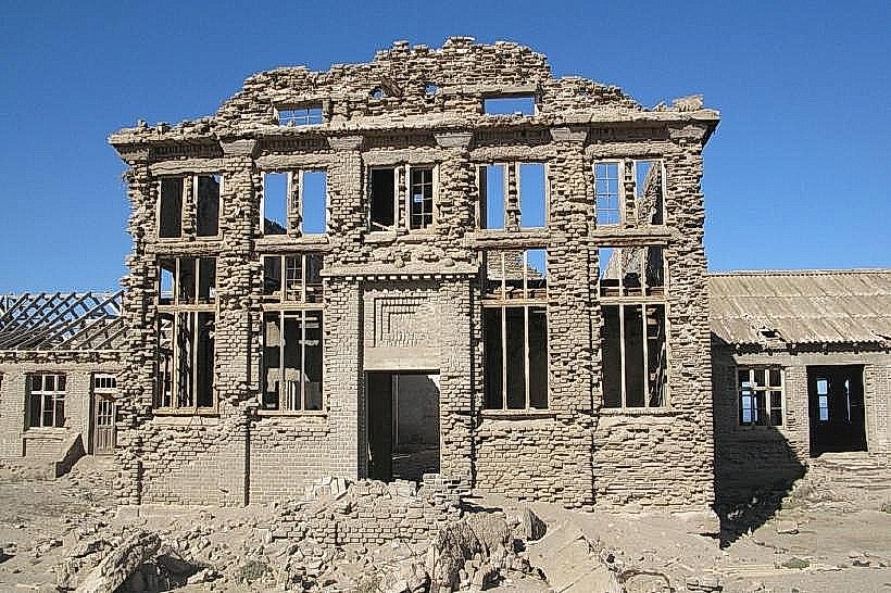
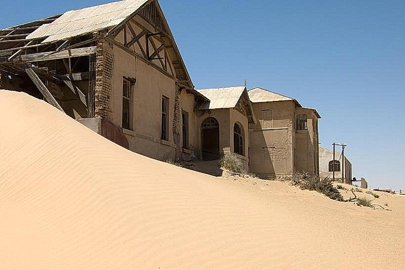
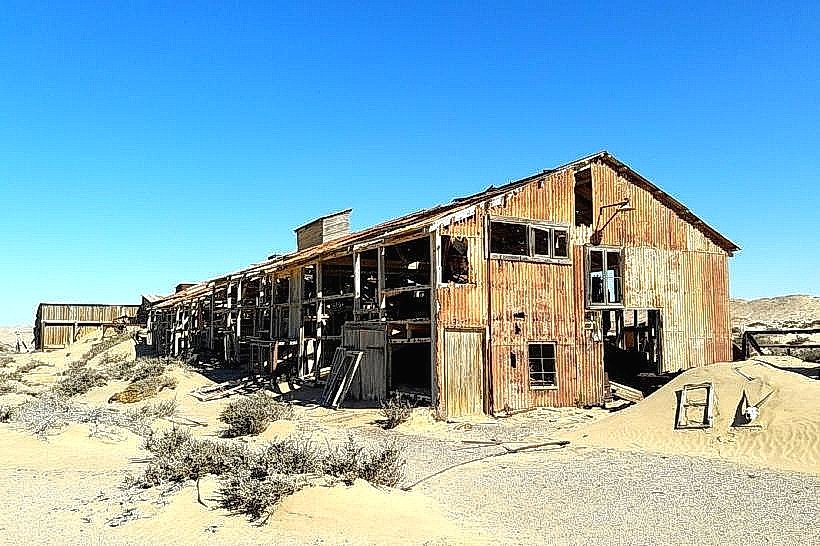
Formerly a true island, it was connected to the mainland in 1906. Historically, it is the site of a concentration camp used by German colonial forces between 1904 and 1907 during the Herero and Namaqua Genocide. Ecologically, it serves as a roosting site for various seabirds, including cormorants and kelp gulls, due to its proximity to the nutrient-rich Benguela Current.
Key Highlights & Activities
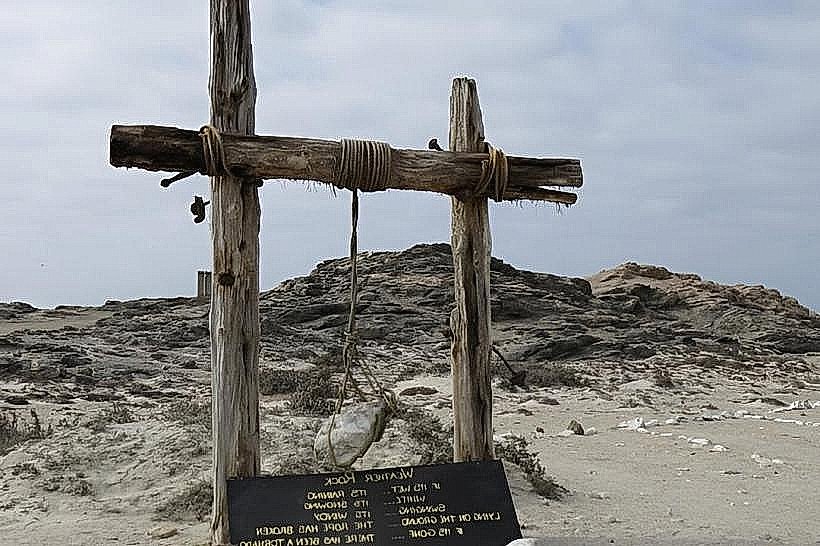
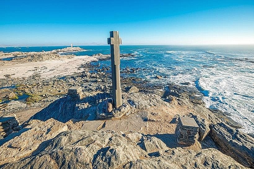
The site primarily serves as a municipal campsite and caravan park. Visitors can walk the perimeter of the peninsula to view monuments dedicated to the victims of the concentration camp and the memorial to Adolf Lüderitz. Photography of the harbor and the incoming Atlantic swell is a frequent activity.
Infrastructure & Amenities
The peninsula features a municipal campsite with designated plots, communal restrooms, and shower facilities. There is a small office at the entrance for permit and fee collection. Windbreaks are installed at several campsites, but there is minimal natural shade. 4G cell signal is strong across the entire site.
Best Time to Visit
The best time for photography is at sunset when the light illuminates the harbor and the Lüderitz skyline. Weather is temperate year-round, though the site is extremely exposed to high-velocity winds and coastal fog, particularly during the summer months from November to February.
Facts & Legends
A memorial plaque on the island honors Cornelius Frederiks, a Nama leader who died at the camp. A specific logistical tip: due to the extreme salt spray and wind, metal equipment on vehicles and camping gear can corrode rapidly if left exposed for more than 24 hours.
Nearby Landmarks
Lüderitz Waterfront: 0.8km South-East
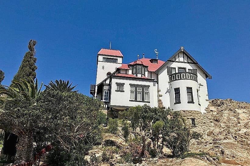
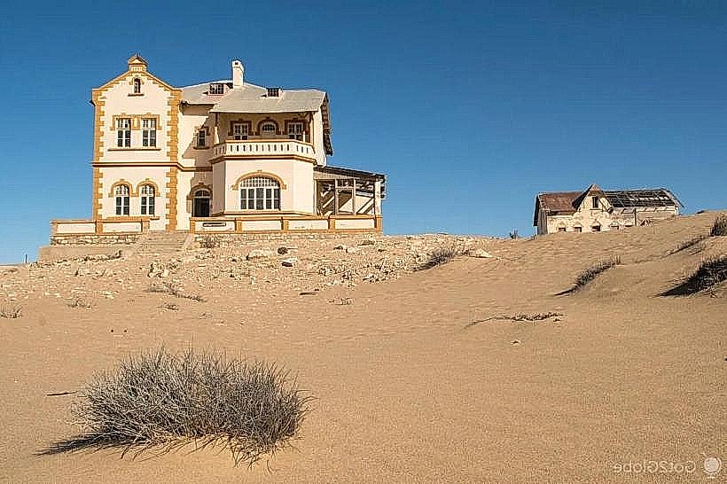
Goerke House: 1.7km South
Felsenkirche (Rock Church): 1.8km South
Lüderitz Railway Station: 1.6km South-East