Information
Landmark: East End Park (Oosteroeverduinen)City: Oostende
Country: Belgium
Continent: Europe
East End Park (Oosteroeverduinen), Oostende, Belgium, Europe
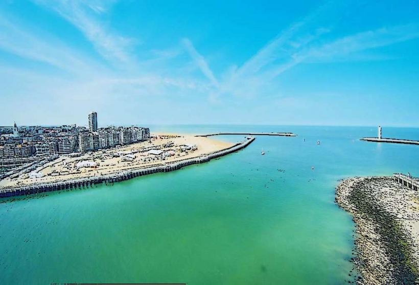
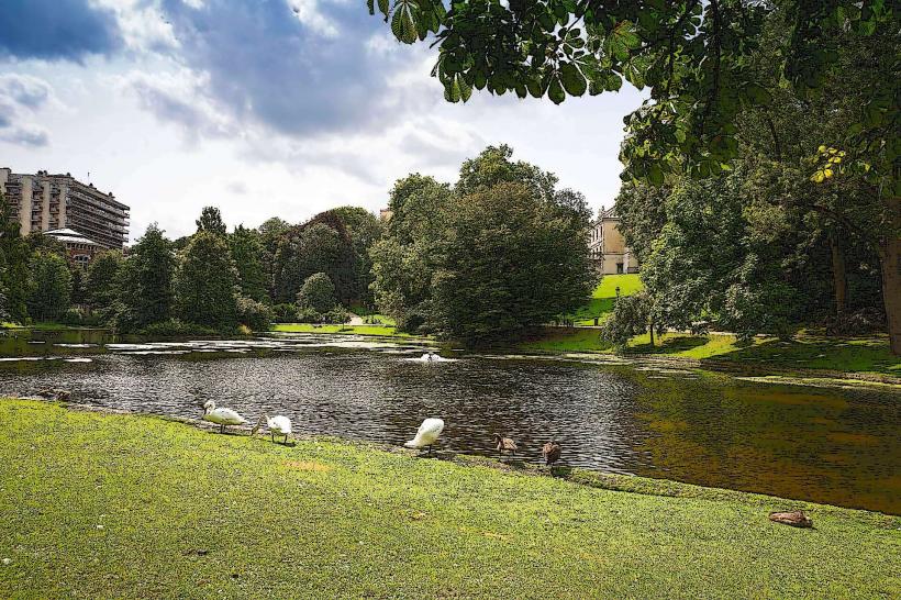
East End Park (frequently referred to by its Dutch name, Oosteroeverduinen) is a coastal nature reserve and public park located on the eastern bank of the harbor in Oostende, Belgium. It represents a transition zone between industrial harbor heritage and protected maritime ecology.
Visual Characteristics
The park is characterized by a rugged, "wild" coastal landscape. It features undulating sand dunes, marram grass, and scrubland typical of the North Sea coast. Interspersed within the natural landscape are historical concrete remnants of the Atlantic Wall. The park is bordered by the North Sea to the north and the modern residential towers of the Oosteroever district to the south.
Location & Access Logistics
Coordinates: $51^{\circ}14'15''N \ 2^{\circ}55'58''E$
Access: The most popular access point is via the free electric ferry (Visserijdok) that departs from the Visserskaai near the Oostende Railway Station.
Transport: * Tram: The Coastal Tram (Kusttram) stops at "Oostende Weg naar Vismijn."
On Foot: A 30-minute walk from the city center via the harbor locks.
Historical & Ecological Origin
The park is part of the Oosteroever (East Bank) regeneration project. Historically, this area was strictly industrial and military. The park now serves as a protected ecological corridor. It contains several bunkers and artillery positions from World War II, some of which are integrated into the walking trails.
Key Highlights & Activities
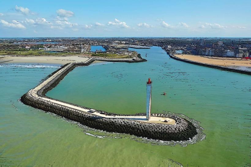
Lange Nelle Lighthouse: A 65-meter-high landmark with distinctive blue-and-white waves, visible from throughout the park.
Fort Napoleon: A five-sided brick fortress built in 1811 during the Napoleonic era, located at the western edge of the park.
Walking Trails: A network of paved and unpaved paths used for hiking and birdwatching.
Oosterstrand: The adjacent beach is significantly quieter and more natural than the main tourist beach in central Oostende.
Infrastructure & Amenities
Signage: Interpretive panels provide information on local flora, fauna, and military history.
Connectivity: 4G/5G reception is strong throughout the dunes.
Services: Public restrooms and dining options are located in the nearby Hendrik Baelskaai area (500m south), rather than inside the dune reserve itself.
Best Time to Visit
Sunset: The park offers unobstructed views of the sunset over the North Sea and the harbor entrance.
Windy Days: The dunes provide natural shelter, making it a viable walking spot even when the beachfront is too windy.
Nearby Landmarks
Fort Napoleon – 0.3 km West.
Lange Nelle Lighthouse – 0.5 km Southwest.
Vrijhaven (Free Port) – 0.6 km South.
Oostende Railway Station – 1.5 km (via ferry).