Information
Landmark: East River WalkCity: Manhattan
Country: USA New York
Continent: North America
East River Walk, Manhattan, USA New York, North America
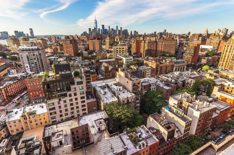
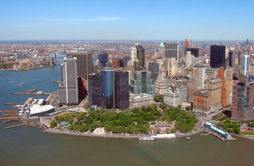
The East River Walk is a public promenade situated along the eastern edge of Manhattan Island in New York City, USA.
Visual Characteristics
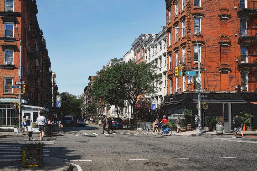
The walkway is constructed primarily of concrete and asphalt, with sections featuring granite or stone paving. It varies in width, generally between 15 to 30 feet. Metal railings and bollards delineate the edge of the river. The dominant colors are grey and muted earth tones, with occasional green spaces from planted trees and shrubs. Views are directed towards the East River, Roosevelt Island, and the Brooklyn skyline.
Location & Access Logistics
The East River Walk extends from Battery Park in Lower Manhattan northward. Access points are numerous along the waterfront. Major cross streets with subway access include Wall Street (2, 3, 4, 5 lines), Fulton Street (A, C, J, Z, 2, 3, 4, 5 lines), and Grand Street (B, D, F, M lines). Several bus routes run parallel to the walk, including the M55 and M21. Parking is limited and generally expensive in the adjacent streets; garages are available at locations like 200 Water Street and 111 John Street. Ferry terminals at Pier 11/Wall Street provide access to other boroughs.
Historical & Ecological Origin
The development of the East River waterfront has been a continuous process of industrialization, port expansion, and subsequent redevelopment. Early sections were established in the late 19th and early 20th centuries to support shipping and commerce. The modern promenade is a result of urban renewal projects, particularly in the late 20th and early 21st centuries, transforming former industrial piers and waterfronts into public recreational space. Ecologically, the river itself is a tidal estuary, supporting a limited range of marine life adapted to urban conditions.
Key Highlights & Activities
Walking, jogging, and cycling are primary activities. Benches are provided at regular intervals for rest. Observation points offer views of passing marine traffic. Photography of the Manhattan skyline and bridges is common. Some sections may host temporary art installations or public events.
Infrastructure & Amenities
Restrooms are available at intervals, particularly near major access points and parks. Shade is provided by mature trees planted along the route. Cell phone signal (4G/5G) is generally strong throughout the walk. Food vendors and cafes are concentrated near parks and major intersections, with more extensive options available a short walk inland.
Best Time to Visit
For photography, early morning (sunrise) and late afternoon (pre-sunset) offer favorable lighting conditions on the city skyline. The months of April through October generally provide the most pleasant weather for outdoor activity. High tide can offer a more expansive view of the river, while low tide may reveal more of the riverbed in certain areas.
Facts & Legends
During the Prohibition era, illegal liquor was often smuggled up the East River, with many clandestine drop-off points rumored to exist along the waterfront. A specific historical oddity is the presence of the historic South Street Seaport Museum, which preserves a collection of 19th-century ships, located adjacent to the modern walk.
Nearby Landmarks
- South Street Seaport Museum (0.2km North)
- One World Observatory (1.5km West)
- Brooklyn Bridge (1.8km Southeast)
- Federal Hall National Memorial (0.8km West)
- Charging Bull sculpture (1.2km West)