Information
Landmark: El Morro de IquiqueCity: Iquique
Country: Chile
Continent: South America
El Morro de Iquique, Iquique, Chile, South America
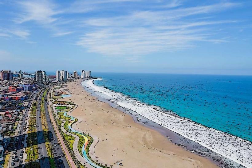
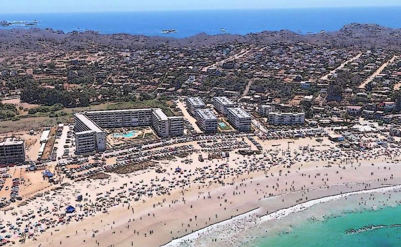
El Morro de Iquique is a prominent coastal cliff located in the city of Iquique, Chile. It serves as a significant natural and historical landmark for the region.
Visual Characteristics
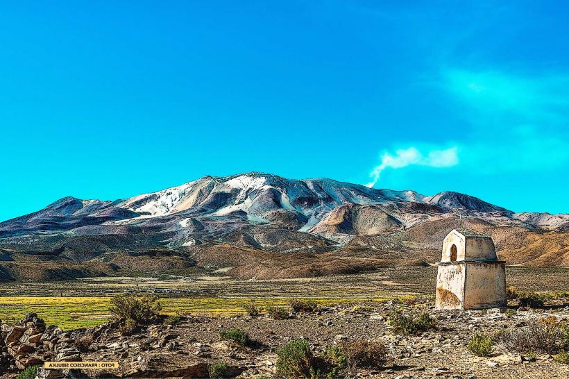
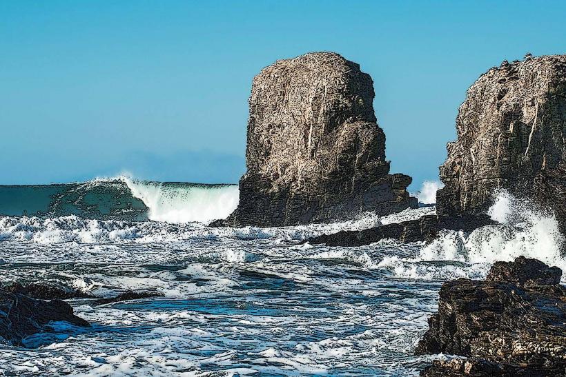
The cliff face is composed of sedimentary rock, primarily sandstone and conglomerate, exhibiting layered strata. Its color ranges from ochre to reddish-brown, with lighter grey and white veins. The cliff rises approximately 100 meters above sea level. At its base, it meets the Pacific Ocean, with waves often crashing against the rock. Vegetation is sparse, consisting of drought-resistant shrubs and grasses clinging to crevices.
Location & Access Logistics
El Morro de Iquique is situated at the eastern edge of Iquique's coastline, directly adjacent to the city. Access is via Avenida Costanera, the main coastal road. Parking is available at designated lots at the base of the cliff and near the summit viewpoint. Public transport options include local bus lines that run along Avenida Costanera, with stops within walking distance of the access points. The summit can be reached by vehicle via a paved road.
Historical & Ecological Origin
Geologically, El Morro is a remnant of ancient coastal erosion and uplift, formed over millions of years by tectonic activity and wave action. Historically, it played a crucial role during the War of the Pacific (1879-1883). The summit was fortified by Chilean forces and was the site of a decisive battle on May 28, 1879, leading to the capture of Iquique by Chile.
Key Highlights & Activities
Visitors can ascend to the summit for panoramic views of the city and the Pacific Ocean. A monument commemorating the Battle of Iquique is located at the summit. Paragliding and hang gliding take place from the cliff face, with launch points on the upper plateau. Hiking trails are present along the cliff base and to specific viewpoints on the upper sections.
Infrastructure & Amenities
The summit area features a viewpoint with railings, a monument, and limited seating. Restrooms are available near the summit parking area. Shade is minimal, primarily provided by the monument structure. Cell phone signal (4G/5G) is generally strong at the summit and along the coastal road. Food vendors are typically located in the city center, a short distance from the base of the cliff.
Best Time to Visit
For photography, the late afternoon (approximately 1-2 hours before sunset) offers favorable lighting conditions with the sun illuminating the cliff face. The best months for weather are generally from March to November, avoiding the peak summer heat and potential coastal fog (camanchaca) which can obscure views, particularly in the morning. High tide can increase wave action at the base.
Facts & Legends
A notable historical oddity is the presence of a Chilean flag permanently flown at the summit, symbolizing the nation's claim to the territory. Local lore suggests that during the battle, the Chilean flag was raised on the cliff to signal victory, a moment now immortalized by the monument.
Nearby Landmarks
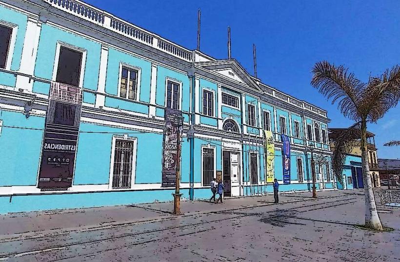
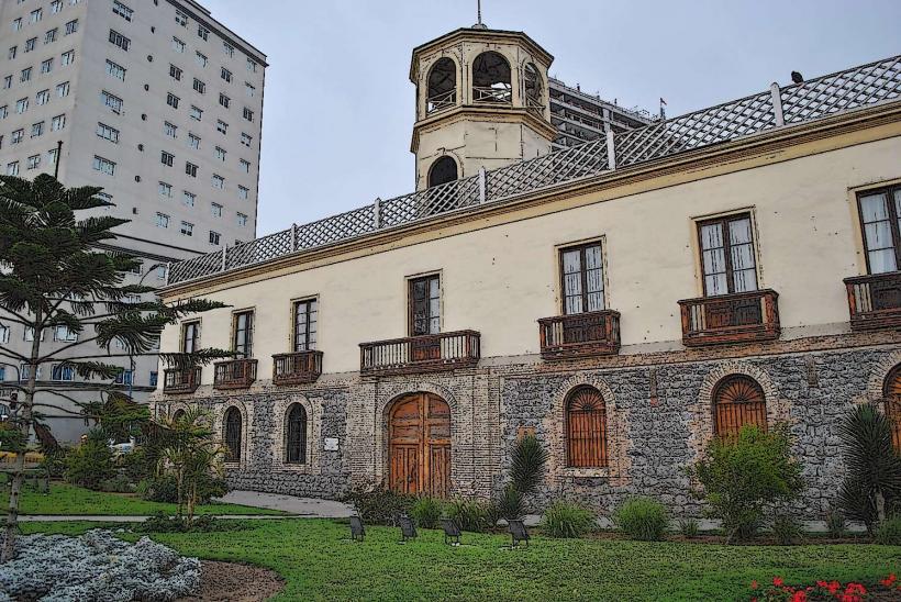
- Museo Regional de Iquique (0.8km West)
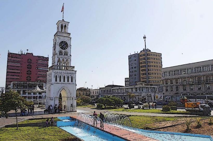
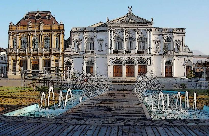
- Plaza Prat (1.2km West)
- Aduana de Iquique (1.5km West)
- Baquedano Street (1.8km West)
- Puerto de Iquique (2.0km West)