Information
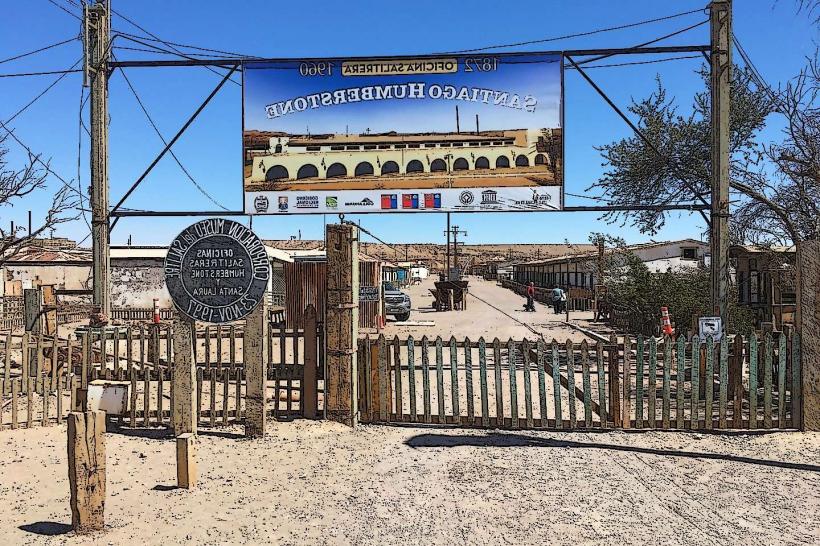
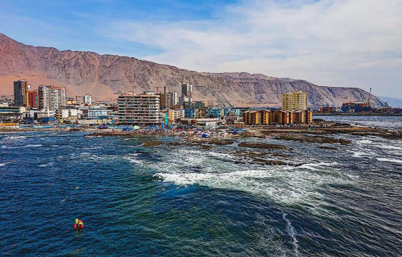
Landmark: Poblado Salitrero de Santa LauraCity: Iquique
Country: Chile
Continent: South America
Poblado Salitrero de Santa Laura, Iquique, Chile, South America
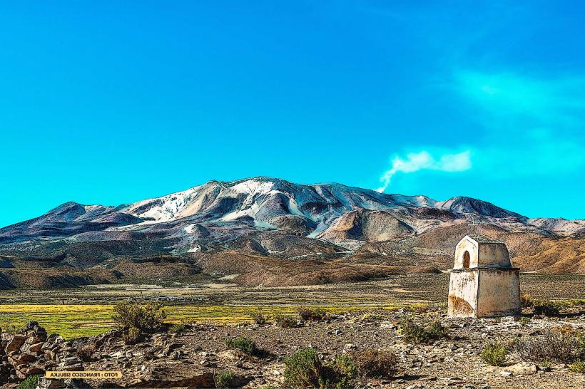
Poblado Salitrero de Santa Laura is a former nitrate mining town located in the Atacama Desert, approximately 45 kilometers northeast of Iquique, Chile.
Visual Characteristics
The site consists of numerous adobe and corrugated iron structures, many in a state of disrepair. Dominant colors are earth tones of adobe and rusted metal. The town's layout follows a grid pattern, with a central processing plant featuring large machinery and storage silos. Surrounding vegetation is sparse, typical of an arid desert environment.
Location & Access Logistics
Access is via Route 110, a paved road branching off Route 1 from Iquique. The distance from Iquique city center is approximately 45 kilometers. Parking is available on-site in designated unpaved areas. Public transport is not available; private vehicle or organized tour is required.
Historical & Ecological Origin
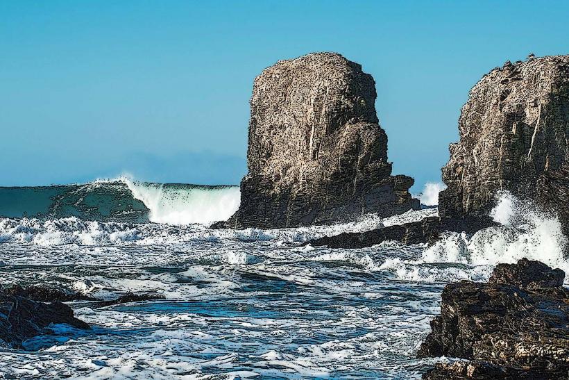
Santa Laura was established in 1872 as a nitrate processing facility by the Compañía de Salitres y Ferrocarriles de Chile. Its purpose was the extraction and refinement of caliche, a nitrate-rich ore, for export. The site's ecological context is the hyperarid Atacama Desert, characterized by extreme dryness and high solar radiation.
Key Highlights & Activities
Exploration of the preserved processing plant, including the machinery and administrative buildings. Walking tours of the residential areas and company store. Photography of the industrial architecture and desert landscape. Observation of the arid ecosystem.
Infrastructure & Amenities
Restrooms are available at the visitor center. Limited shade is provided by existing structures. Cell phone signal (4G/5G) is generally unreliable. No food vendors are present on-site; visitors should bring their own provisions.
Best Time to Visit
For photography, early morning or late afternoon offers optimal lighting conditions with reduced glare. The best months for weather are typically March through November, avoiding the slightly warmer summer months of December to February. No tide considerations apply.
Facts & Legends
A notable historical oddity is the town's complete abandonment in the 1960s following the decline of the nitrate industry, leaving much of the infrastructure intact as a preserved snapshot of early 20th-century industrial life. A local tip is to wear sturdy footwear due to uneven terrain and loose debris.
Nearby Landmarks
- Humberstone and Santa Laura Nitrate Plant Museum (0.1km West)
- Laguna Roja (approx. 60km Northeast)
- Cerro Esmeralda (approx. 40km Southwest)
- Iquique (approx. 45km Southwest)