Information
Landmark: Playa de Los MollesCity: Iquique
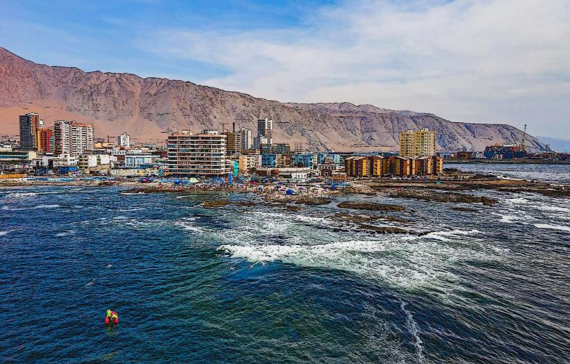
Country: Chile
Continent: South America
Playa de Los Molles, Iquique, Chile, South America
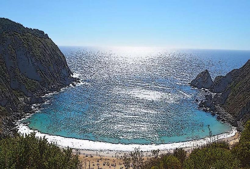
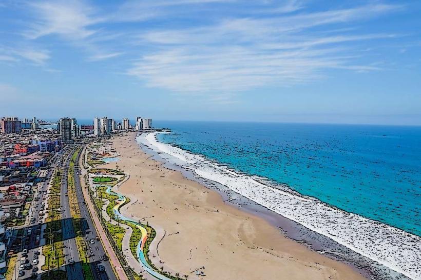
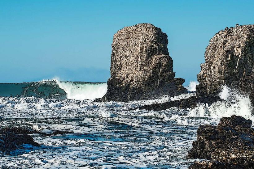
Playa de Los Molles is a coastal area situated south of the city of Iquique, Chile.
This location is characterized by its rocky shoreline and the presence of wind-eroded rock formations.
Visual Characteristics
The beach consists of dark, coarse sand and gravel. The dominant feature is the presence of numerous large, weathered rock formations, many of which exhibit significant erosion patterns due to wind action. The water color is typically a deep blue to grey, depending on weather conditions. Vegetation is sparse, consisting mainly of low-lying, hardy coastal plants.
Location & Access Logistics
Playa de Los Molles is located approximately 15 kilometers south of Iquique's city center. Access is via the Ruta A-1, a paved coastal highway. Turn off the main highway onto a marked, unpaved access road that leads directly to the beach area. Parking is available on the unpaved ground adjacent to the shoreline. Public transport options are limited; the nearest bus stop is several kilometers north on Ruta A-1, requiring a significant walk or taxi transfer.
Historical & Ecological Origin
The rock formations at Playa de Los Molles are primarily composed of volcanic rock, shaped over millennia by aeolian erosion (wind abrasion) and marine weathering. This process has created unique sculptural forms. Ecologically, it represents a typical arid coastal environment of the Atacama Desert region.
Key Highlights & Activities
Observation of the wind-eroded rock formations is the primary activity. Photography of the geological features is recommended. Walking along the shoreline to examine the different rock textures and shapes is possible. Due to the rocky nature of the shore and potential currents, swimming is not advised.
Infrastructure & Amenities
There are no permanent infrastructure facilities at Playa de Los Molles. Restrooms, shade structures, and food vendors are absent. Cell phone signal (4G/5G) is generally weak to non-existent.
Best Time to Visit
For photography, the late afternoon hours (approximately 2-3 hours before sunset) offer softer lighting that accentuates the rock textures. The months of April through October generally provide more stable weather conditions with less intense sun. There are no tidal dependencies for accessing the main viewing areas.
Facts & Legends
Local lore suggests that some of the larger rock formations resemble figures or animals, leading to informal naming conventions among residents. A specific geological feature, a large archway in one of the rock clusters, is a popular focal point for visitors.
Nearby Landmarks
- Playa Huayquique (2.5km North)
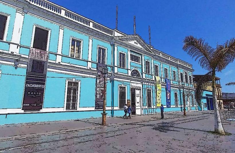
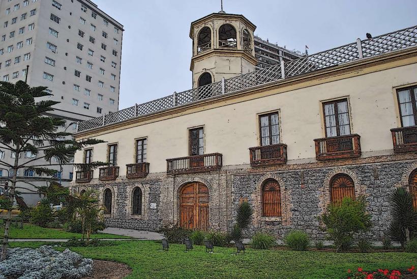
- Museo Regional de Iquique (12km North)
- Aduana de Iquique (13km North)
- Puerto de Iquique (14km North)
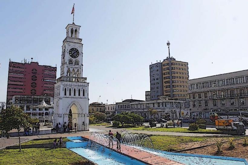
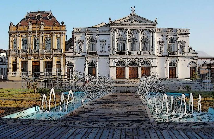
- Plaza Prat (15km North)